MyTopo
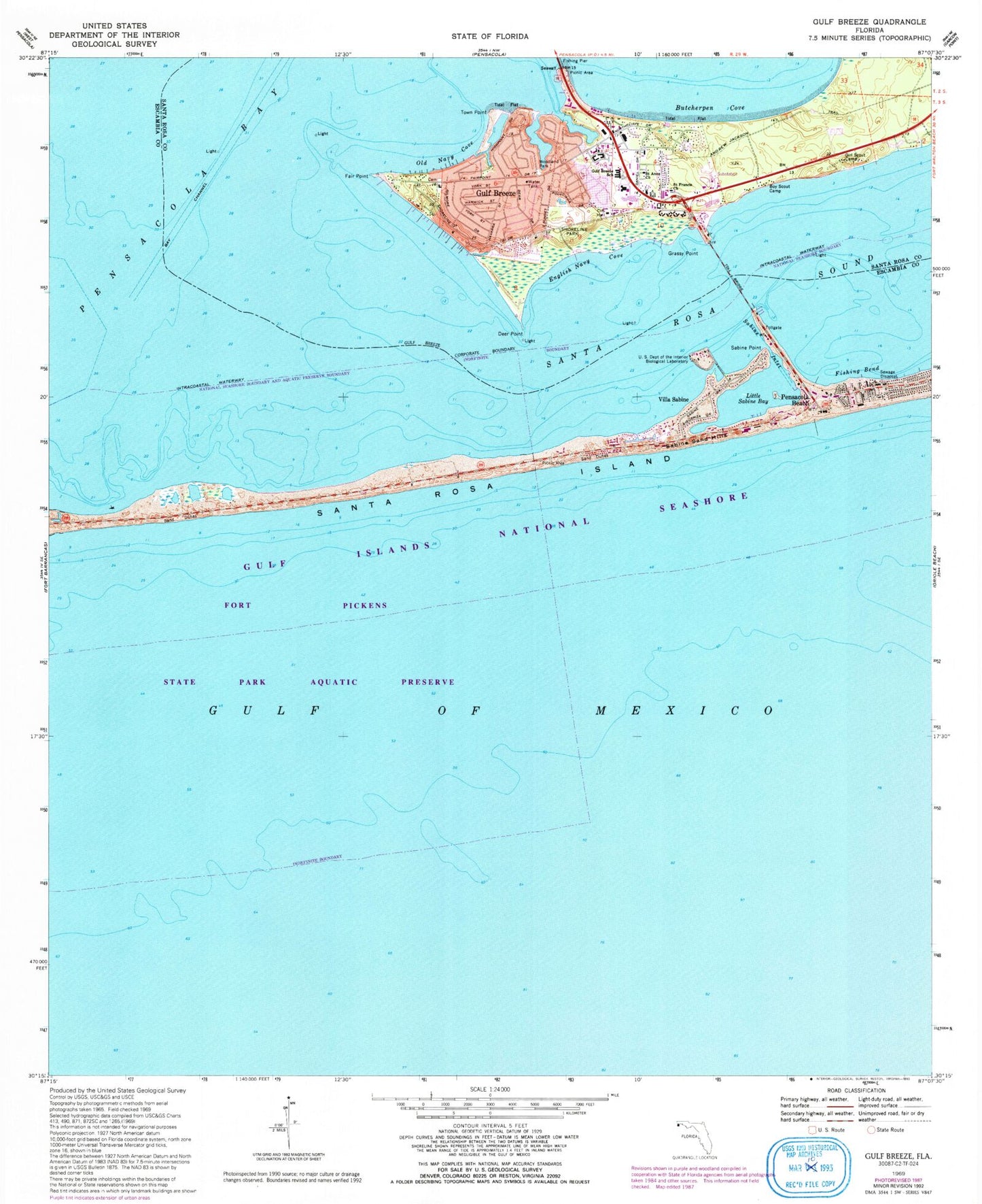
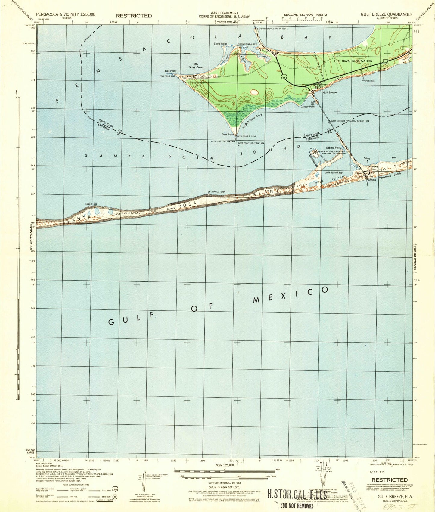
Classic USGS Gulf Breeze Florida 7.5'x7.5' Topo Map
Couldn't load pickup availability
Historical USGS topographic quad map of Gulf Breeze in the state of Florida. Map scale may vary for some years, but is generally around 1:24,000. Print size is approximately 24" x 27"
This quadrangle is in the following counties: Escambia, Santa Rosa.
The map contains contour lines, roads, rivers, towns, and lakes. Printed on high-quality waterproof paper with UV fade-resistant inks, and shipped rolled.
Contains the following named places: Bay Channel, Bob Silkes Bridge, Butcherpen Cove, City of Gulf Breeze, Concord Presbyterian Church, Deer Point, Dolphin Square, English Navy Cove, Escambia County Sheriff's Office - Precinct 1 Pensacola Beach, Evangel Church, Fair Point, First Baptist Church, Fishing Bend, Grassy Point, Gulf Breeze, Gulf Breeze Division, Gulf Breeze Elementary School, Gulf Breeze Fire Department, Gulf Breeze High School, Gulf Breeze Hospital, Gulf Breeze Hospital Heliport, Gulf Breeze Middle School, Gulf Breeze Police Department, Gulf Breeze Post Office, Gulf Breeze Shopping Center, Gulf Breeze United Methodist Church, Holley-Navarre Elementary School, Little Sabine Bay, Old Navy Cove, Pensacola Beach, Pensacola Beach Community United Church, Pensacola Division, Sabine Inlet, Sabine Point, Sabine Sand Hills, Saint Anns Catholic Church, Saint Anns Church, Saint Francis Church, Saint Francis of Assisi Episcopal Church, Saint Sylvester Catholic Church, Santa Rosa Shores Baptist Church, Serenity Gardens, Shoreline Park, Town Point, United States Department of the Interior Biological Laboratory, Villa Sabine, Woodland Park


