MyTopo
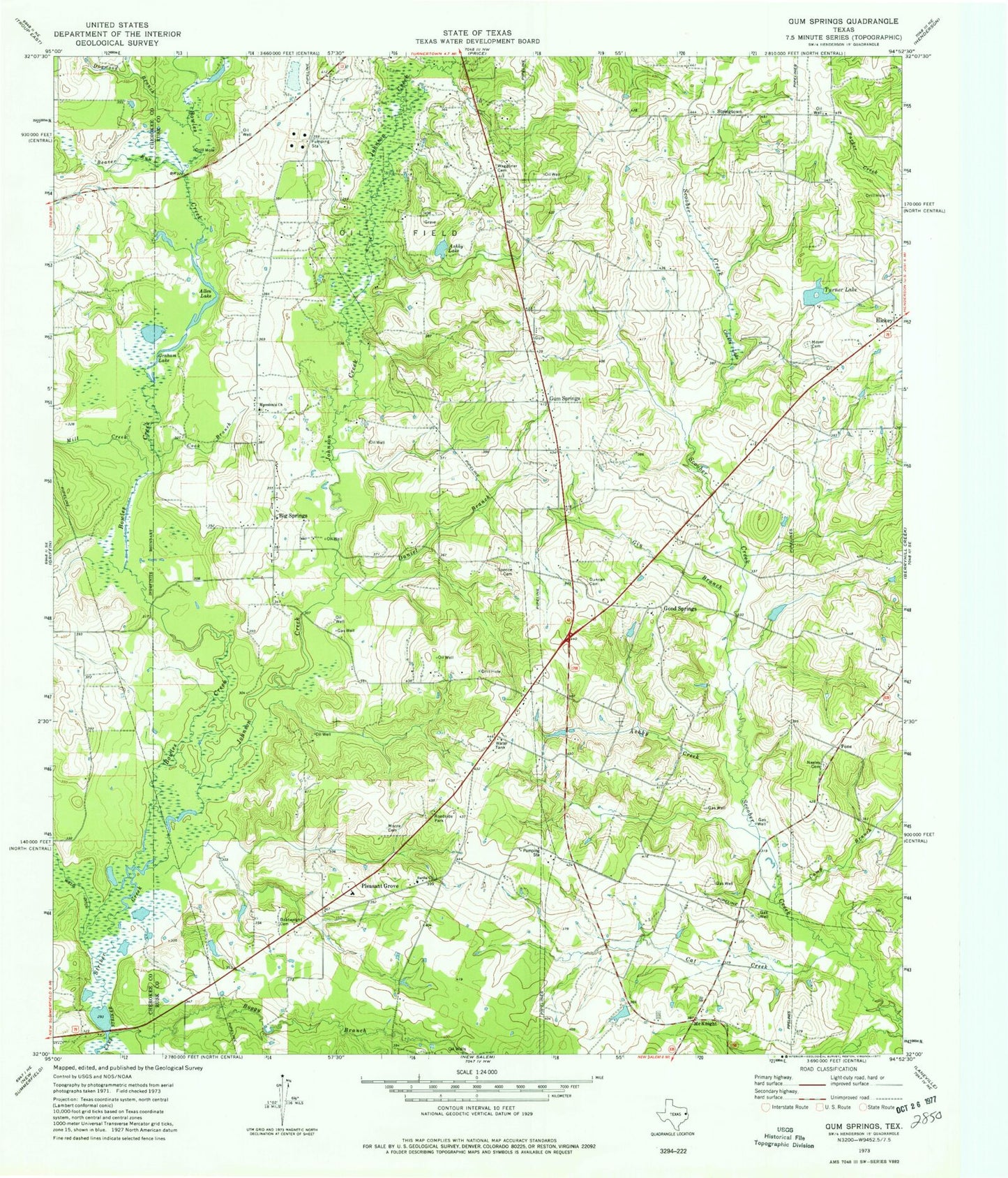
Classic USGS Gum Springs Texas 7.5'x7.5' Topo Map
Couldn't load pickup availability
Historical USGS topographic quad map of Gum Springs in the state of Texas. Map scale may vary for some years, but is generally around 1:24,000. Print size is approximately 24" x 27"
This quadrangle is in the following counties: Cherokee, Rusk.
The map contains contour lines, roads, rivers, towns, and lakes. Printed on high-quality waterproof paper with UV fade-resistant inks, and shipped rolled.
Contains the following named places: Allen Lake, Ashby Creek, Ashby Lake, Beaver Run, Big Springs, Boggy Branch, Bowles Creek, Camp Branch, Carlisle Volunteer Fire Department Station 2, Cat Creek, Cook Branch, County Lake, Daniel Branch, Dogwood Branch, Duncan Cemetery, Gin Branch, Good Springs, Graham Lake, Gum Springs, Johnson Creek, Macedonia Church, McKnight, Mill Creek, Moore Cemetery, Moyers Cemetery, Neeley Cemetery, Pleasant Grove, Pleasant Grove Cemetery, Pone, Price-Turnertown Division, Sardis Church, Spence Cemetery, Stringtown, Turner Lake, Waggoner Cemetery


