MyTopo
Classic USGS Gumm Pond Georgia 7.5'x7.5' Topo Map
Couldn't load pickup availability
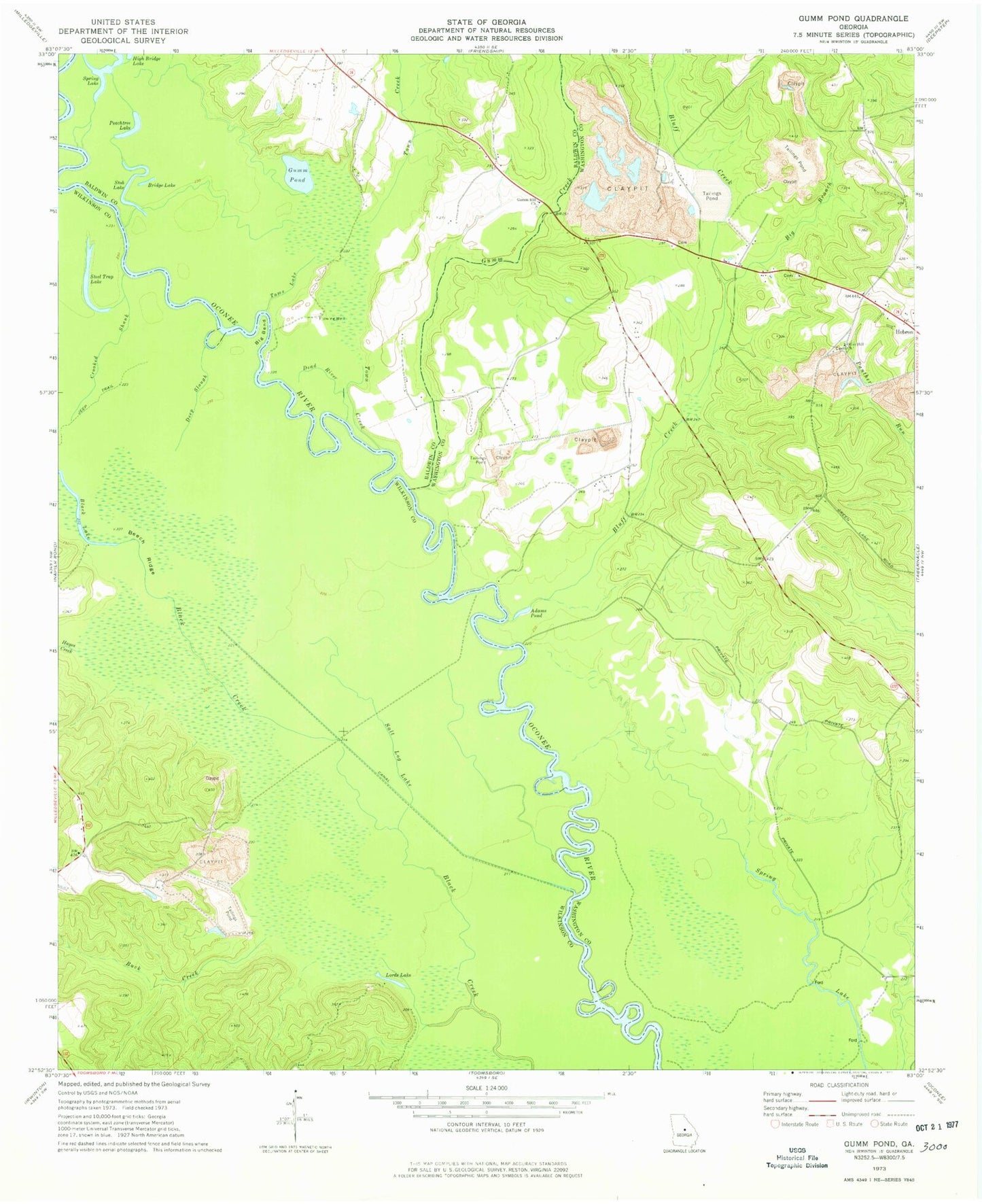
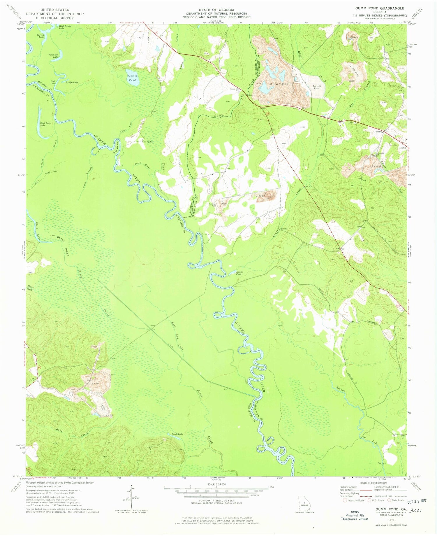
Historical USGS topographic quad map of Gumm Pond in the state of Georgia. Map scale may vary for some years, but is generally around 1:24,000. Print size is approximately 24" x 27"
This quadrangle is in the following counties: Baldwin, Washington, Wilkinson.
The map contains contour lines, roads, rivers, towns, and lakes. Printed on high-quality waterproof paper with UV fade-resistant inks, and shipped rolled.
Contains the following named places: Adams Pond, Beech Ridge, Big Bend, Big Branch, Black Creek, Black Lake, Bluff Creek, Bridge Lake, Buck Creek, Cabin Hill Church, Centerville School, Cox School, Crooked Shank, Dead River, Deep Slough, Fowlers Store, Gumm Creek, Gumm Hill Church, Gumm Pond, Hayes Creek, Hazeltine School, High Bridge Lake, June Hill School, Lord Lake, Peachtree Lake, Poplar School, Poplar Springs Baptist Church, Poplar Springs Christian Church, Ramage Branch, Salt Log Lake, Spring Lake, Steel Trap Lake, Stob Lake, Stubbs Store, Tomas Lake, Town Creek