MyTopo
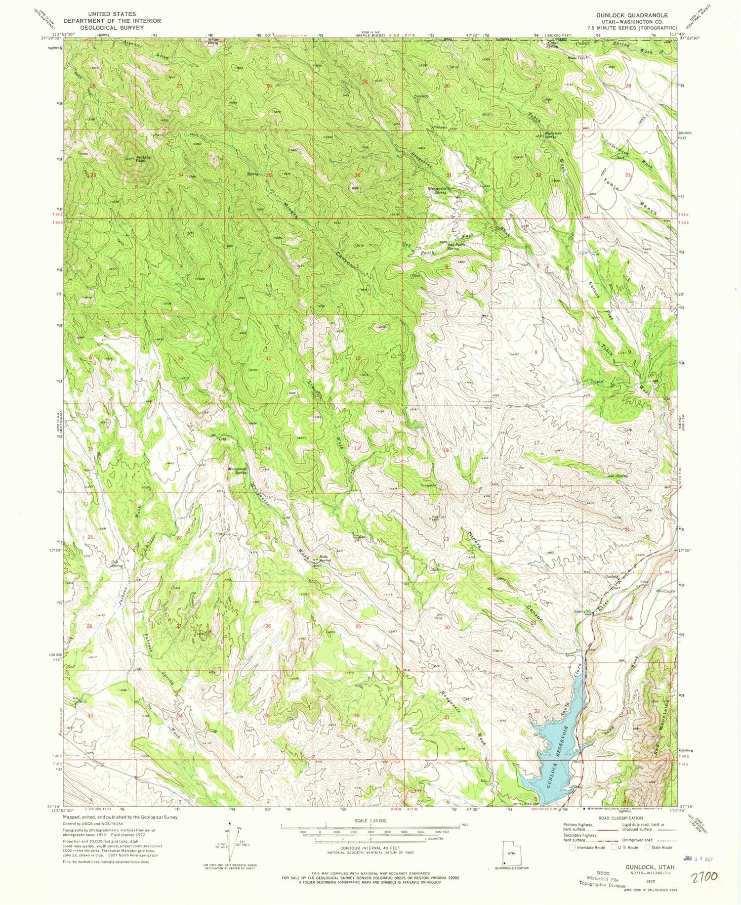
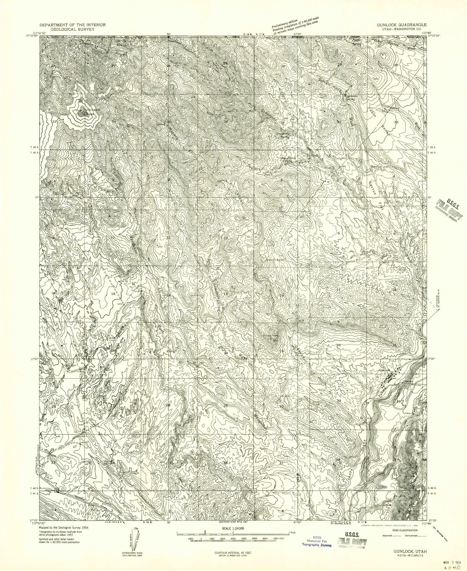
Classic USGS Gunlock Utah 7.5'x7.5' Topo Map
Couldn't load pickup availability
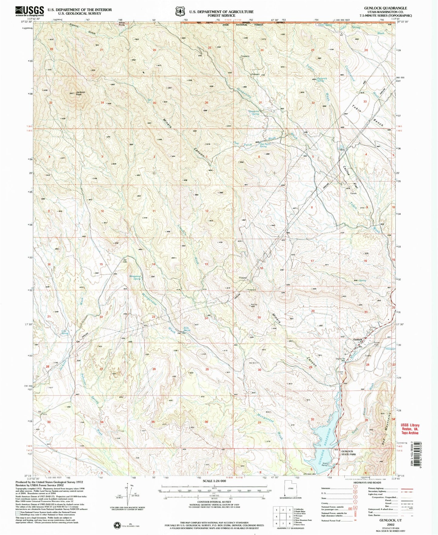
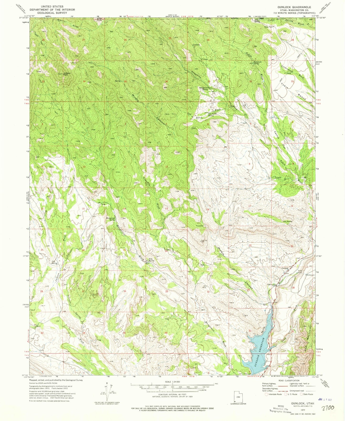
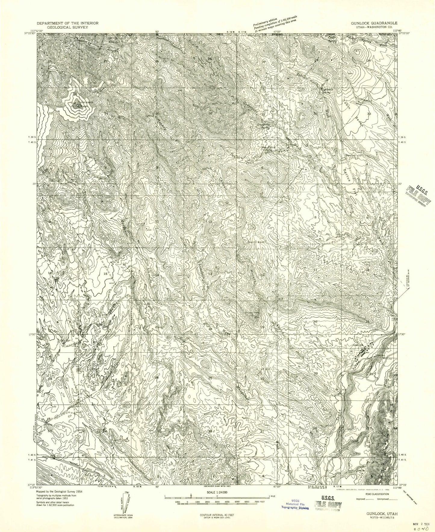
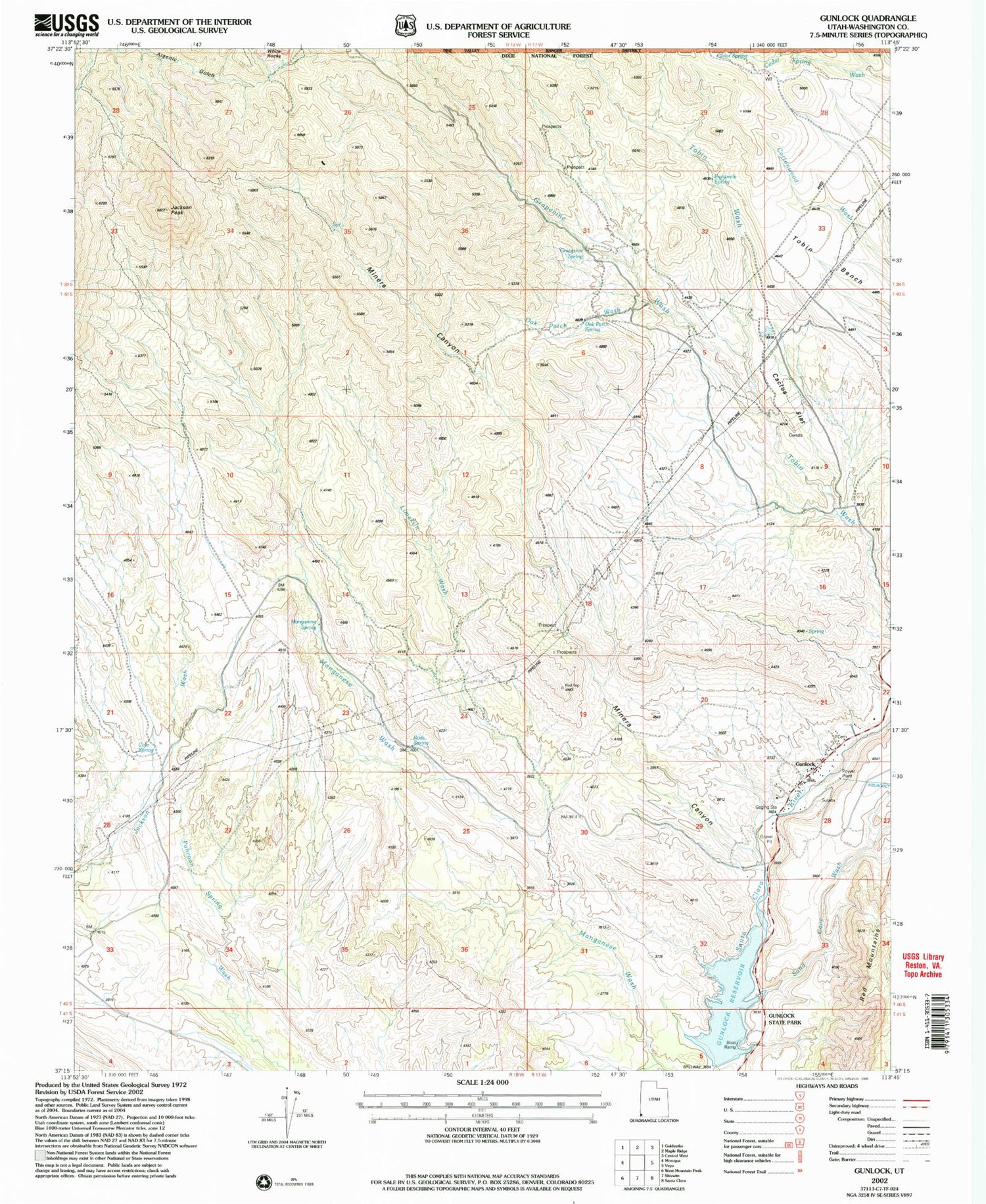
Historical USGS topographic quad map of Gunlock in the state of Utah. Typical map scale is 1:24,000, but may vary for certain years, if available. Print size: 24" x 27"
This quadrangle is in the following counties: Washington.
The map contains contour lines, roads, rivers, towns, and lakes. Printed on high-quality waterproof paper with UV fade-resistant inks, and shipped rolled.
Contains the following named places: Cactus Flat, Cedar Spring, Cole Spring, Eightmile Spring, Grapevine Spring, Gunlock Reservoir, Jackson Peak, Limekiln Wash, Manganese Spring, Miners Canyon, Oak Patch Spring, Oak Patch Wash, Rods Spring, Gunlock Campground, Gunlock Cemetery, Gunlock State Park, Gunlock, Bull Valley Mountains, Grapevine Wash, Sand Cove Wash, Tobin Bench, Intermittent Spring, The Church of Jesus Christ of Latter Day Saints, Northwestern Special Service Fire District Gunlock Station, Gunlock Fire Department - Northwestern Special Service Fire District, Cactus Flat, Cedar Spring, Cole Spring, Eightmile Spring, Grapevine Spring, Gunlock Reservoir, Jackson Peak, Limekiln Wash, Manganese Spring, Miners Canyon, Oak Patch Spring, Oak Patch Wash, Rods Spring, Gunlock Campground, Gunlock Cemetery, Gunlock State Park, Gunlock, Bull Valley Mountains, Grapevine Wash, Sand Cove Wash, Tobin Bench, Intermittent Spring, The Church of Jesus Christ of Latter Day Saints, Northwestern Special Service Fire District Gunlock Station, Gunlock Fire Department - Northwestern Special Service Fire District
