MyTopo
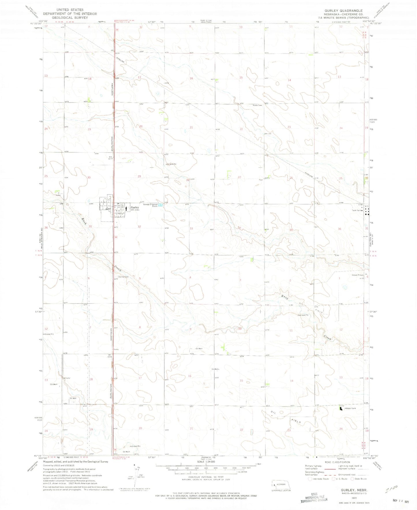
Classic USGS Gurley Nebraska 7.5'x7.5' Topo Map
Couldn't load pickup availability
Historical USGS topographic quad map of Gurley in the state of Nebraska. Map scale may vary for some years, but is generally around 1:24,000. Print size is approximately 24" x 27"
This quadrangle is in the following counties: Cheyenne.
The map contains contour lines, roads, rivers, towns, and lakes. Printed on high-quality waterproof paper with UV fade-resistant inks, and shipped rolled.
Contains the following named places: Crossroads Cooperative Association Elevator, Discovery Oil Well - Marathon Oil Company Historical Marker, Grace Lutheran Church, Gurley, Gurley Election Precinct, Gurley Post Office, Gurley Volunteer Fire and Rescue, Leyton Elementary School, Salem Lutheran Church, School Number 150, South School Number 28, Union Valley Cemetery, Village of Gurley, ZIP Code: 69141