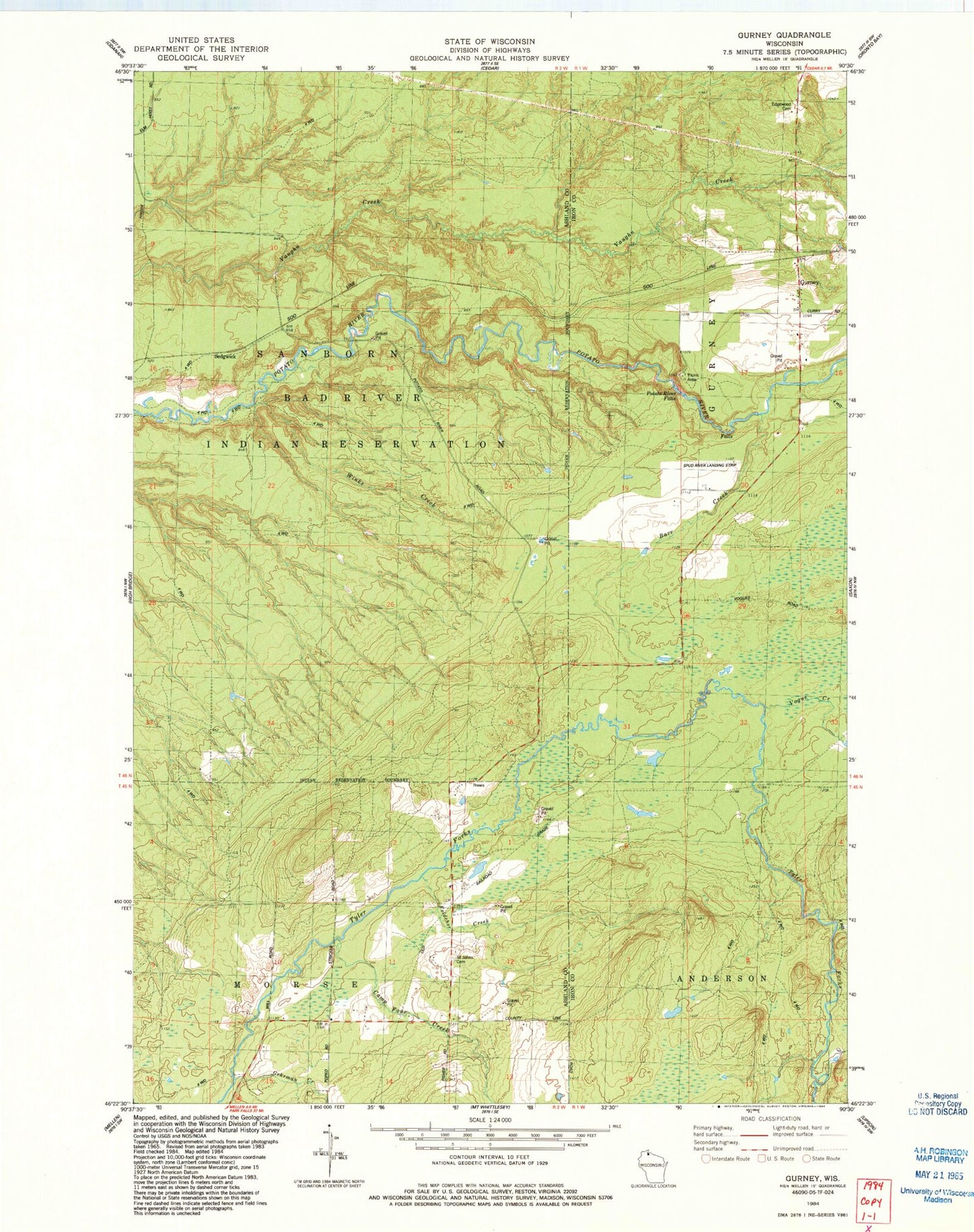
MyTopo
Classic USGS Gurney Wisconsin 7.5'x7.5' Topo Map
Regular price
$16.95
Regular price
Sale price
$16.95
Unit price
per
Couldn't load pickup availability
Historical USGS topographic quad map of Gurney in the state of Wisconsin. Map scale may vary for some years, but is generally around 1:24,000. Print size is approximately 24" x 27"
This quadrangle is in the following counties: Ashland, Iron.
The map contains contour lines, roads, rivers, towns, and lakes. Printed on high-quality waterproof paper with UV fade-resistant inks, and shipped rolled.
Contains the following named places: Barr Creek, Camp Four Creek, Edgewood Cemetery, Feldcher Creek, Gehrman Creek, Gurney, Potato River Falls, Saint John's Lutheran Cemetery, Sedgwick, Spud River Landing Strip, Town of Gurney, Vogue Creek, Winks Creek