MyTopo
Classic USGS Gustave South Dakota 7.5'x7.5' Topo Map
Regular price
$16.95
Regular price
Sale price
$16.95
Unit price
per
Couldn't load pickup availability
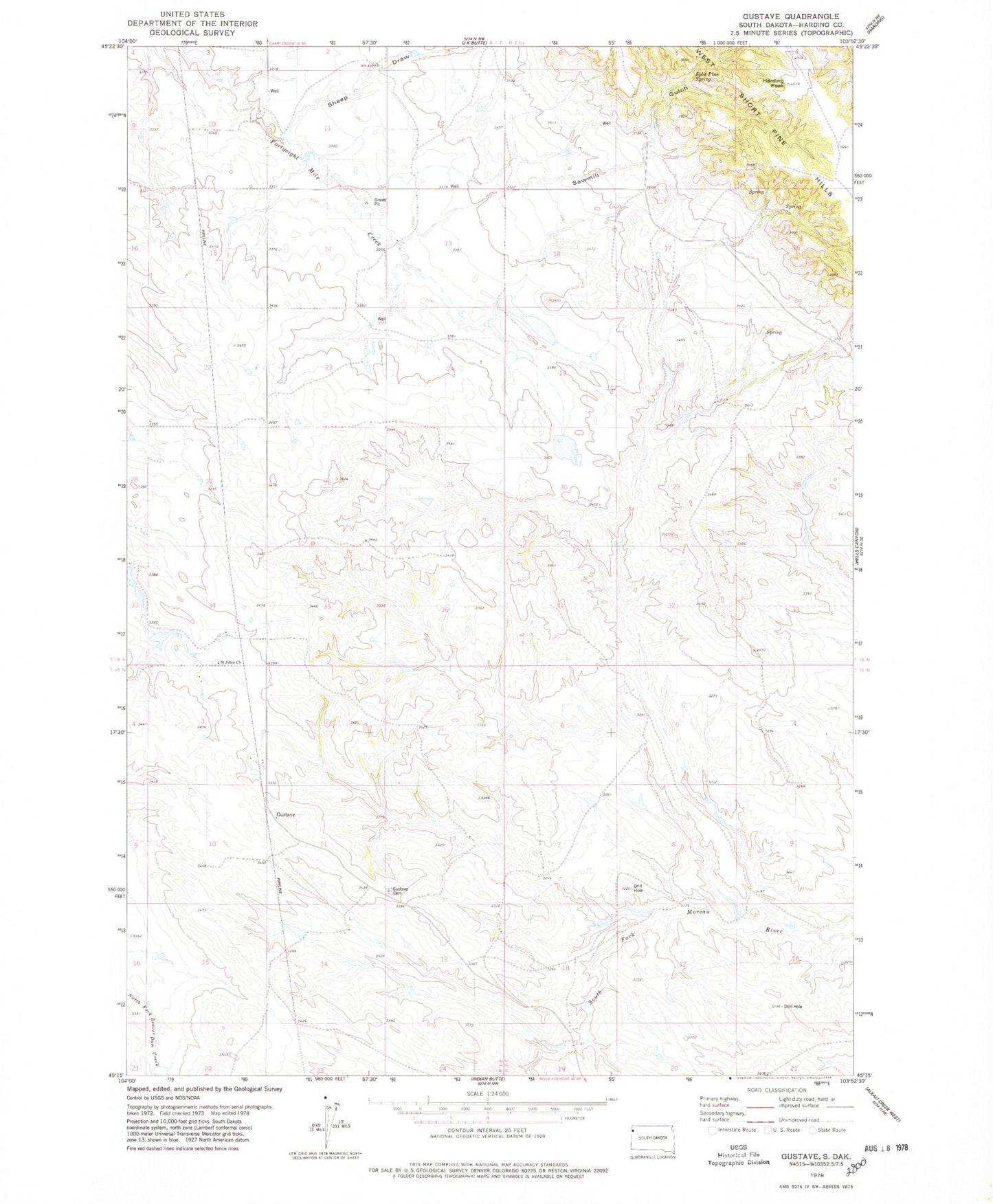
Historical USGS topographic quad map of Gustave in the state of South Dakota. Map scale may vary for some years, but is generally around 1:24,000. Print size is approximately 24" x 27"
This quadrangle is in the following counties: Harding.
The map contains contour lines, roads, rivers, towns, and lakes. Printed on high-quality waterproof paper with UV fade-resistant inks, and shipped rolled.
Contains the following named places: Carver Ranch, Gustave, Gustave Cemetery, Harding Peak, Jug Buttes, Loyd Moncur Ranch, Saint Johns Church, Sawmill Gulch, Sheep Draw, Split Pine Spring