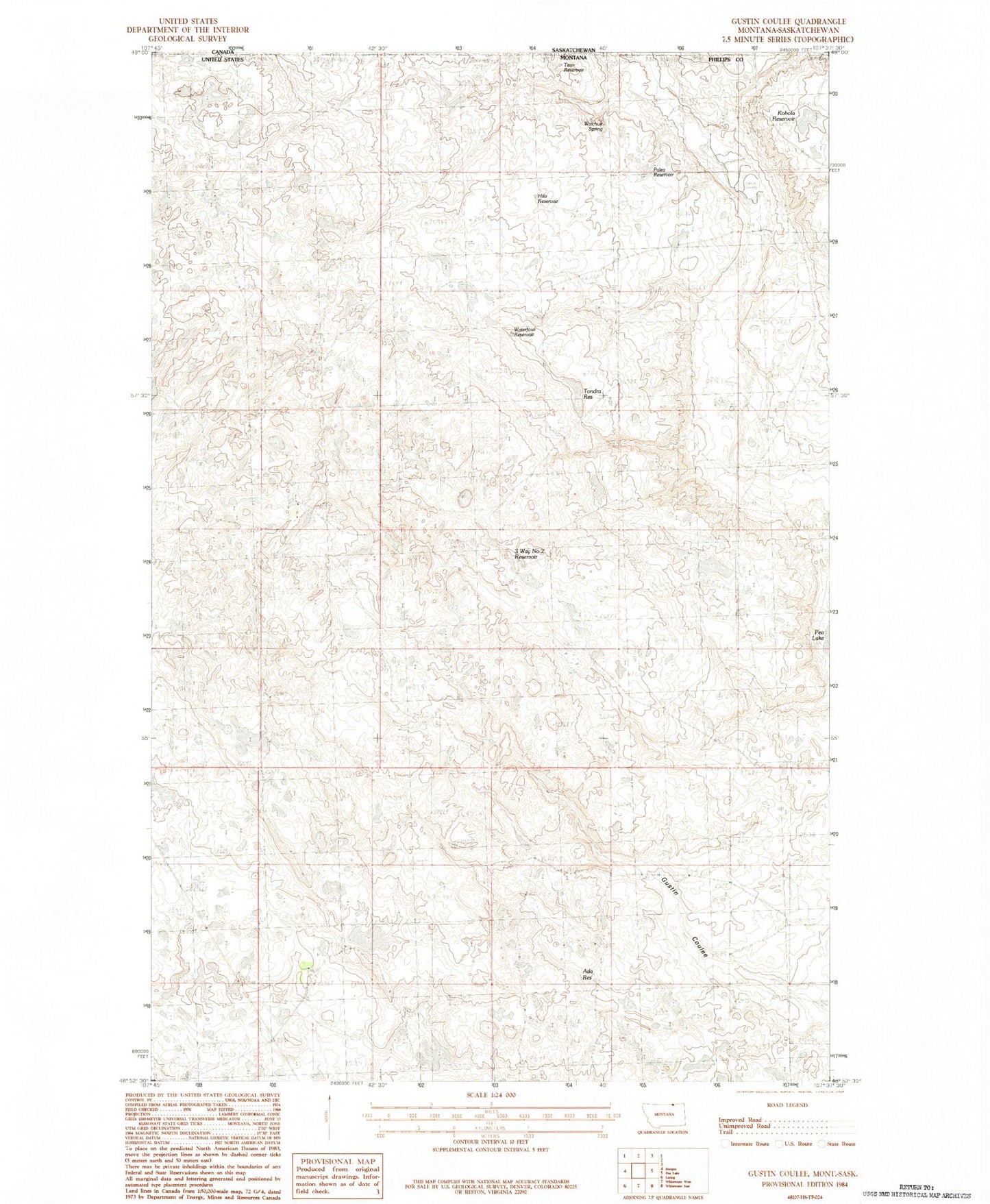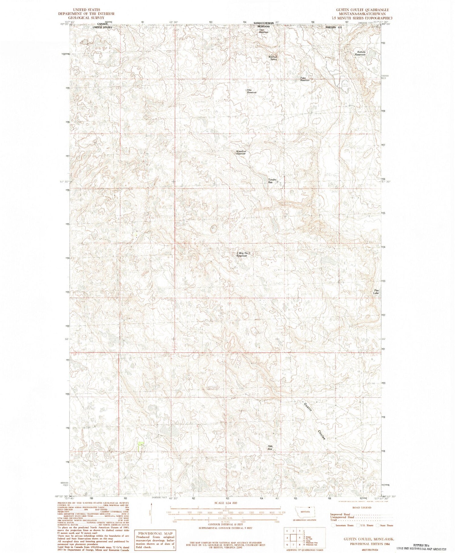
MyTopo
Classic USGS Gustin Coulee Montana 7.5'x7.5' Topo Map
Regular price
$16.95
Regular price
Sale price
$16.95
Unit price
per
Couldn't load pickup availability
Historical USGS topographic quad map of Gustin Coulee in the state of Montana. Map scale may vary for some years, but is generally around 1:24,000. Print size is approximately 24" x 27"
This quadrangle is in the following counties: Phillips.
The map contains contour lines, roads, rivers, towns, and lakes. Printed on high-quality waterproof paper with UV fade-resistant inks, and shipped rolled.
Contains the following named places: 3 Way Number 2 Reservoir, 37N30E24CC__01 Well, Ada Reservoir, French Fry Number 2 Dam, Hilo Reservoir, Kohola Reservoir, Palea Reservoir, Split Rock Dam, Titan Reservoir, Tondra Reservoir, Walchuk Spring, Waterfowl Reservoir