MyTopo
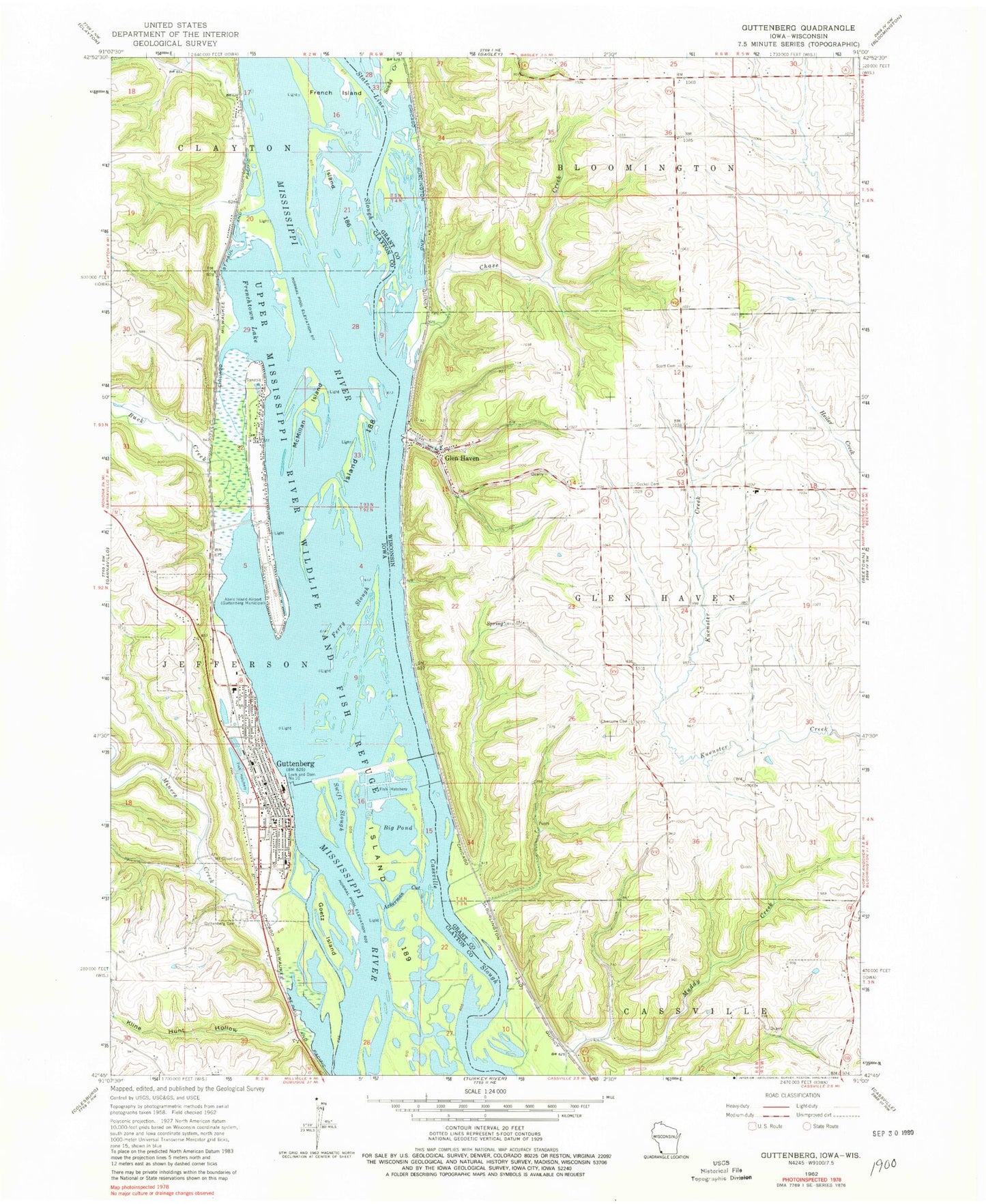
Classic USGS Guttenberg Iowa 7.5'x7.5' Topo Map
Couldn't load pickup availability
Historical USGS topographic quad map of Guttenberg in the states of Iowa, Wisconsin. Map scale may vary for some years, but is generally around 1:24,000. Print size is approximately 24" x 27"
This quadrangle is in the following counties: Clayton, Grant.
The map contains contour lines, roads, rivers, towns, and lakes. Printed on high-quality waterproof paper with UV fade-resistant inks, and shipped rolled.
Contains the following named places: Abel-Essman Island, Ackerman Cut, Big Pond, Buck Creek, Bussey Lake, Cassville Slough, Charlotte Cemetery, Chase Creek, City of Guttenberg, Clayton Ridge High School, Clayton Ridge Middle School, Duck Lake, Eckards, Family Medicine Associates Center, Ferry Slough, French Island, French Town Lake Access, Frenchtown Lake, GAA Private Airport, Glen Haven, Glen Haven Census Designated Place, Glen Haven Post Office, Glen Haven Volunteer Fire Department, Gockel Cemetery, Goetz Island, Goose Pond, Guttenberg, Guttenberg Care Center, Guttenberg Cemetery, Guttenberg Chiropractic and Sports Medicine Clinic, Guttenberg City Hall, Guttenberg City Park, Guttenberg Fire Department, Guttenberg Golf and Country Club, Guttenberg Municipal Hospital, Guttenberg Police Department, Guttenberg Ponds Sanctuary, Guttenberg Post Office, Guttenberg Public Library, Historic Old Brewery, Iowa State Fish Aquarium and Hatchery, Island 186, Island 188, Jimore Lake, Kline Hunt Hollow, Lock and Dam 10, Lock and Dam No, Lockmasters House Heritage Museum, McMillan Island, Miners Creek, Mount Olivet Cemetery, Otis Lake, Pool 10, Saint Johns Lutheran Church, Saint Mary Immaculate Conception School, Saint Marys Catholic Church, Saint Pauls Lutheran Church, Sandy Creek, Scott Cemetery, Swift Slough, Town of Glen Haven, Trinity Lutheran Church, United Methodist Church, Walters Heliport, Willow Island, ZIP Code: 53810


