MyTopo
Classic USGS Guy New Mexico 7.5'x7.5' Topo Map
Regular price
$16.95
Regular price
Sale price
$16.95
Unit price
per
Couldn't load pickup availability
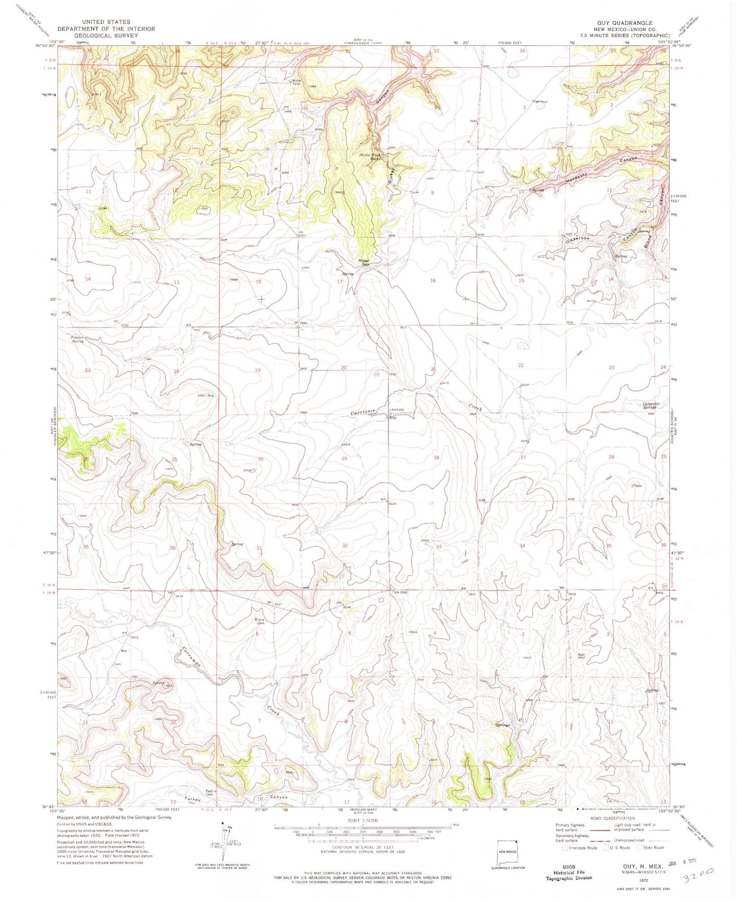
Historical USGS topographic quad map of Guy in the state of New Mexico. Map scale may vary for some years, but is generally around 1:24,000. Print size is approximately 24" x 27"
This quadrangle is in the following counties: Union.
The map contains contour lines, roads, rivers, towns, and lakes. Printed on high-quality waterproof paper with UV fade-resistant inks, and shipped rolled.
Contains the following named places: Bland Canyon, Carpenter Springs, Devils Wash Basin, Dickerson Canyon, Fischer Spring, Guy, Guy Post Office, Hardesty Canyon, Miller Gap, Padilla Cemetery, Rivera Cemetery, SHD, Turkey Canyon