MyTopo
Classic USGS Gwinn Michigan 7.5'x7.5' Topo Map
Couldn't load pickup availability
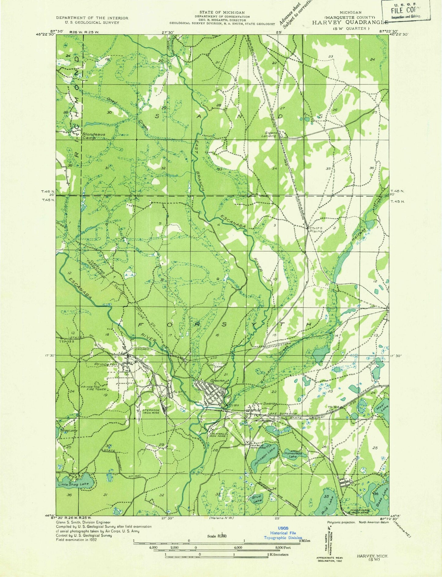
Historical USGS topographic quad map of Gwinn in the state of Michigan. Map scale may vary for some years, but is generally around 1:24,000. Print size is approximately 24" x 27"
This quadrangle is in the following counties: Marquette.
The map contains contour lines, roads, rivers, towns, and lakes. Printed on high-quality waterproof paper with UV fade-resistant inks, and shipped rolled.
Contains the following named places: Austin, Austin Number One Mine, Austin Number Two Mine, Bertraud Lake, Blue Lake, East Branch Escanaba River, Farquar-Metsa Tourist Park, First Baptist Church, Forsyth Township Ball Park, Forsyth Township Fire Department / Forsyth Township Emergency Medical Services, Forsyth Township Historical Museum, Forsyth Township Police Department, Forsyth Township Public Library, Francis Mine, Gilbert Elementary School, Grace Lutheran Church, Green Creek, Gwinn, Gwinn Cemetery, Gwinn Census Designated Place, Gwinn High School, Gwinn Lookout Tower, Gwinn Middle School, Gwinn Mine, Gwinn Post Office, Gwinn Station, Gwinn-Sawyer Medical Center, Halfway Creek, Heritage Baptist Church, Irene Lake, Johnson Lake, Jopling Mine, K I Sawyer, K. I. Sawyer Air Force Base, Lesterson-Dempsey Airstrip, Little Shag Lake, Little Trout Lake, Little Trout Lake Park, Living Faith Fellowship, Mackinaw Mine, Michigan Department of Natural Resources Gwinn Forest, Middle Branch Escanaba River, New Swanzy, Noren Lake, Northernair Mobile Estates, O'Neal Creek, Perch Lake, Peter Nordeen Park, Pine Lake, Plains, Princeton, Princeton Number One Mine, Princeton Number Three Mine, Princeton Number Two Mine, Princeton Post Office, Rice Lake, Saint Anthony's Catholic Church, Sawyer Free Will Baptist Church, Sawyer International Airport, Slough Lake, Stegmiller Mine, Stephenson Mine, Stump Lake, Swanzy Post Office, Swanzy Station, Township of Forsyth, Uncle Tom Creek, United Methodist Church, Upper Room Church of God, ZIP Code: 49841


