
MyTopo
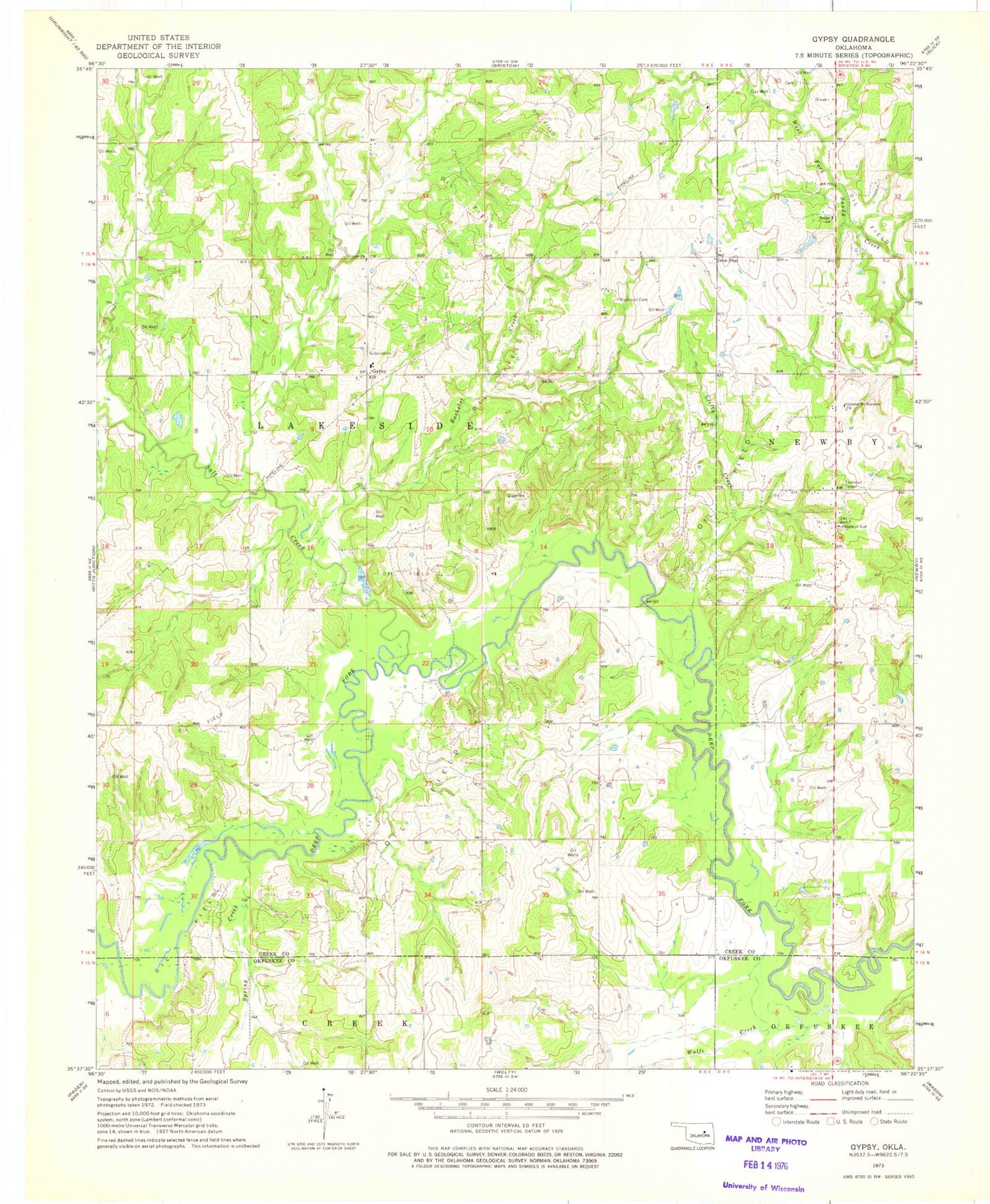
Classic USGS Gypsy Oklahoma 7.5'x7.5' Topo Map
Couldn't load pickup availability
Historical USGS topographic quad map of Gypsy in the state of Oklahoma. Map scale may vary for some years, but is generally around 1:24,000. Print size is approximately 24" x 27"
This quadrangle is in the following counties: Creek, Okfuskee.
The map contains contour lines, roads, rivers, towns, and lakes. Printed on high-quality waterproof paper with UV fade-resistant inks, and shipped rolled.
Contains the following named places: Bachelor Creek, Bethel Church, Bristow South Division, Bucktrot Cemetery, Clifty Creek, Greater Mount Hermon Church, Gypsy, Gypsy Church, Gypsy Public School, Hanna Brown - Tiger Cemetery, Iron Post, Oknoname 037052 Dam, Oknoname 037052 Reservoir, Polly Long Cemetery, Salt Camp Creek Site 4 Dam, Salt Camp Creek Site 4 Reservoir, Salt Creek, Spring Creek, Township of Lakeside, Welty Census Designated Place, Welty Volunteer Fire Department, Wilson Cemetery, Wolfe Creek


