MyTopo
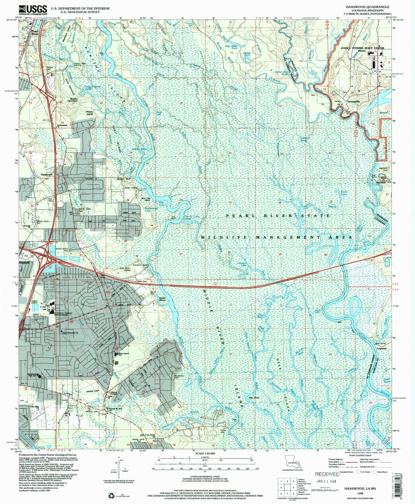
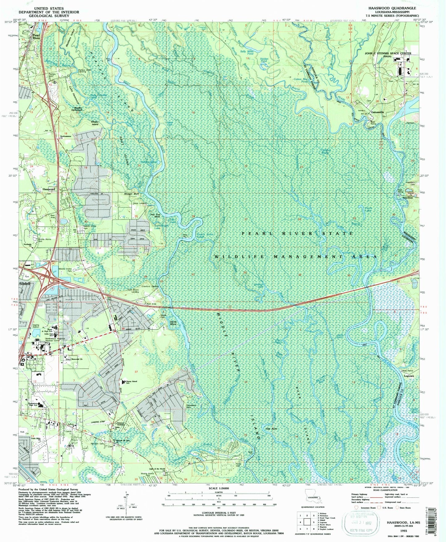
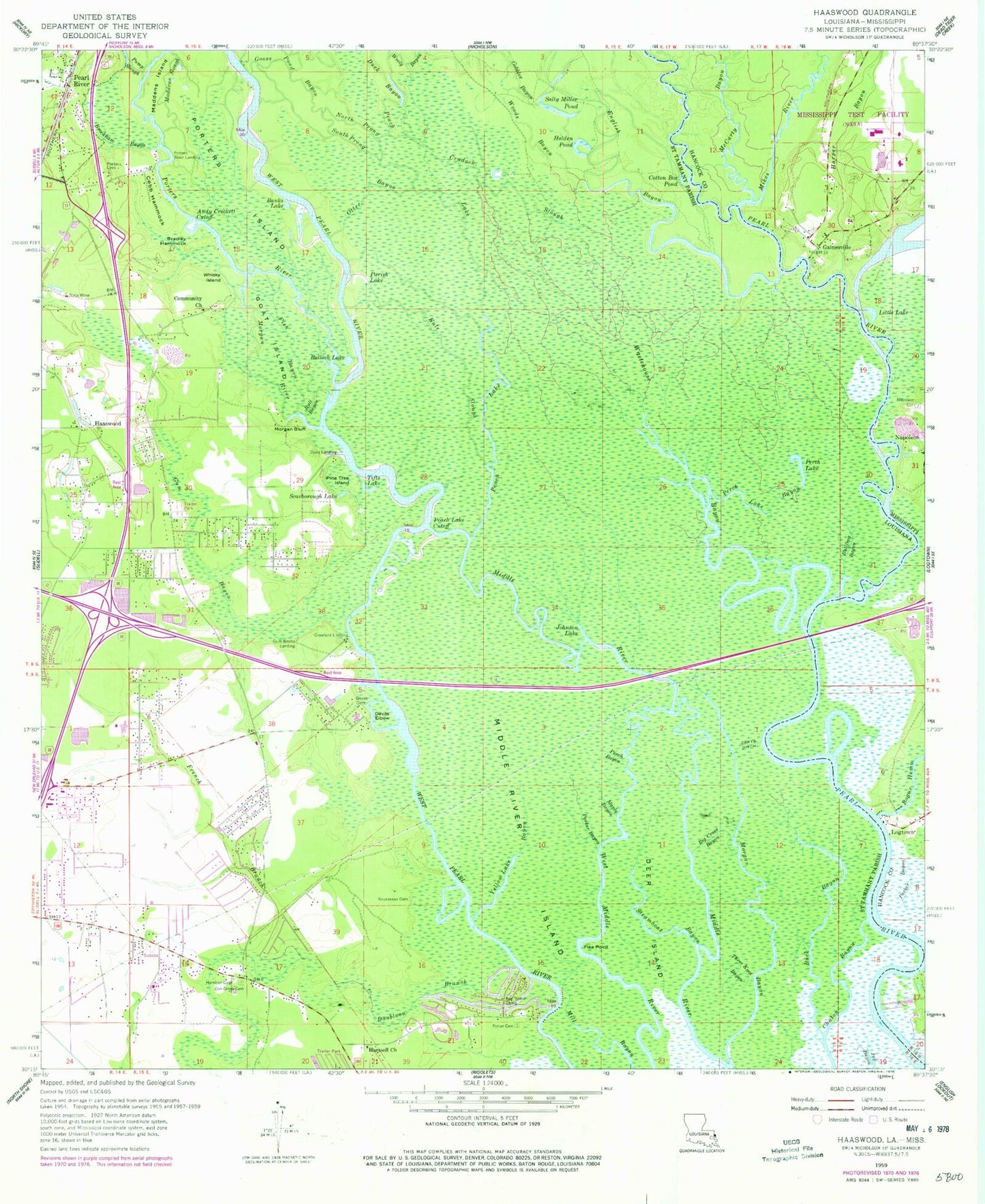
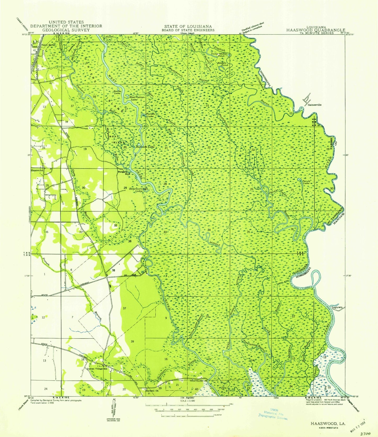
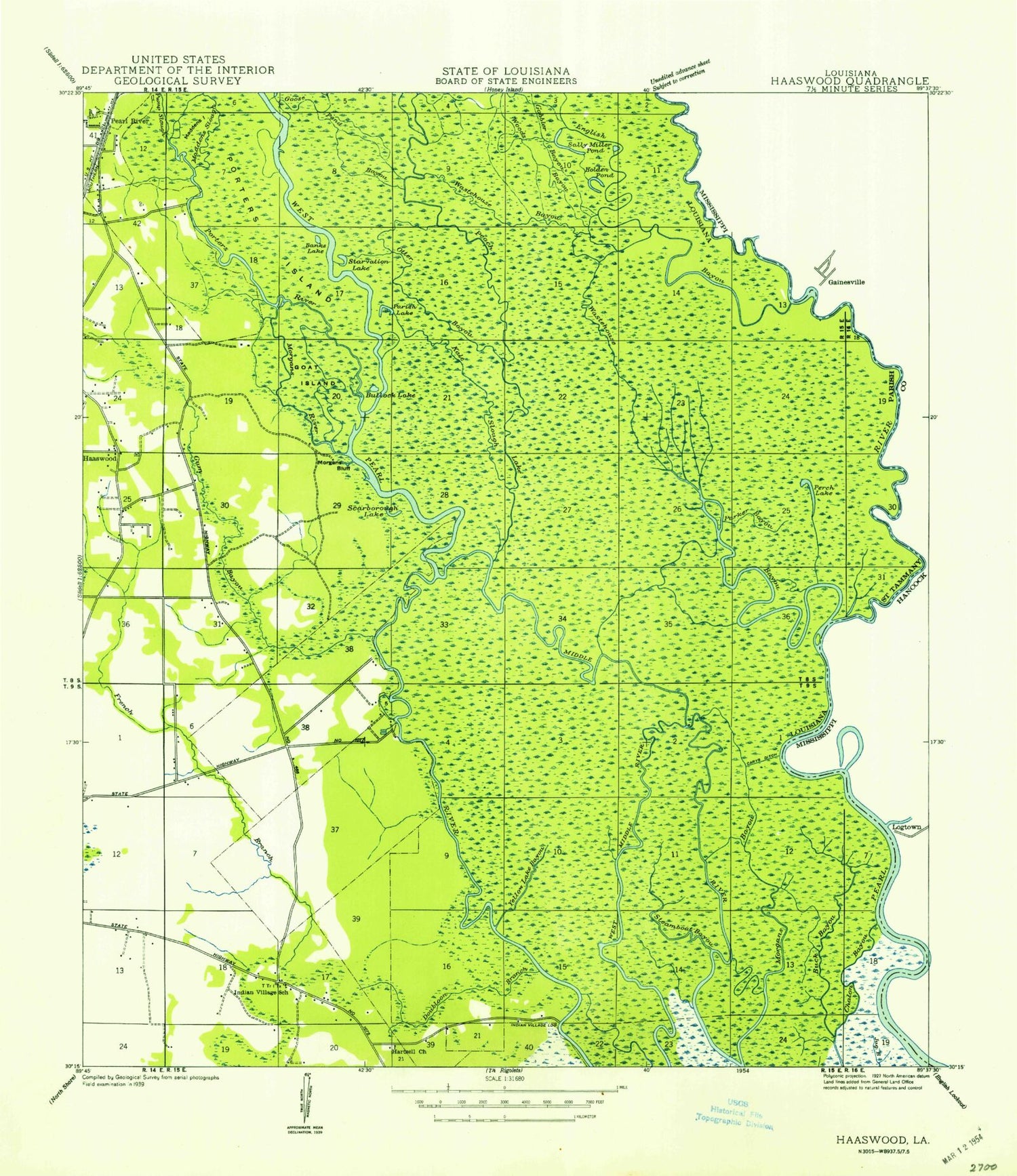
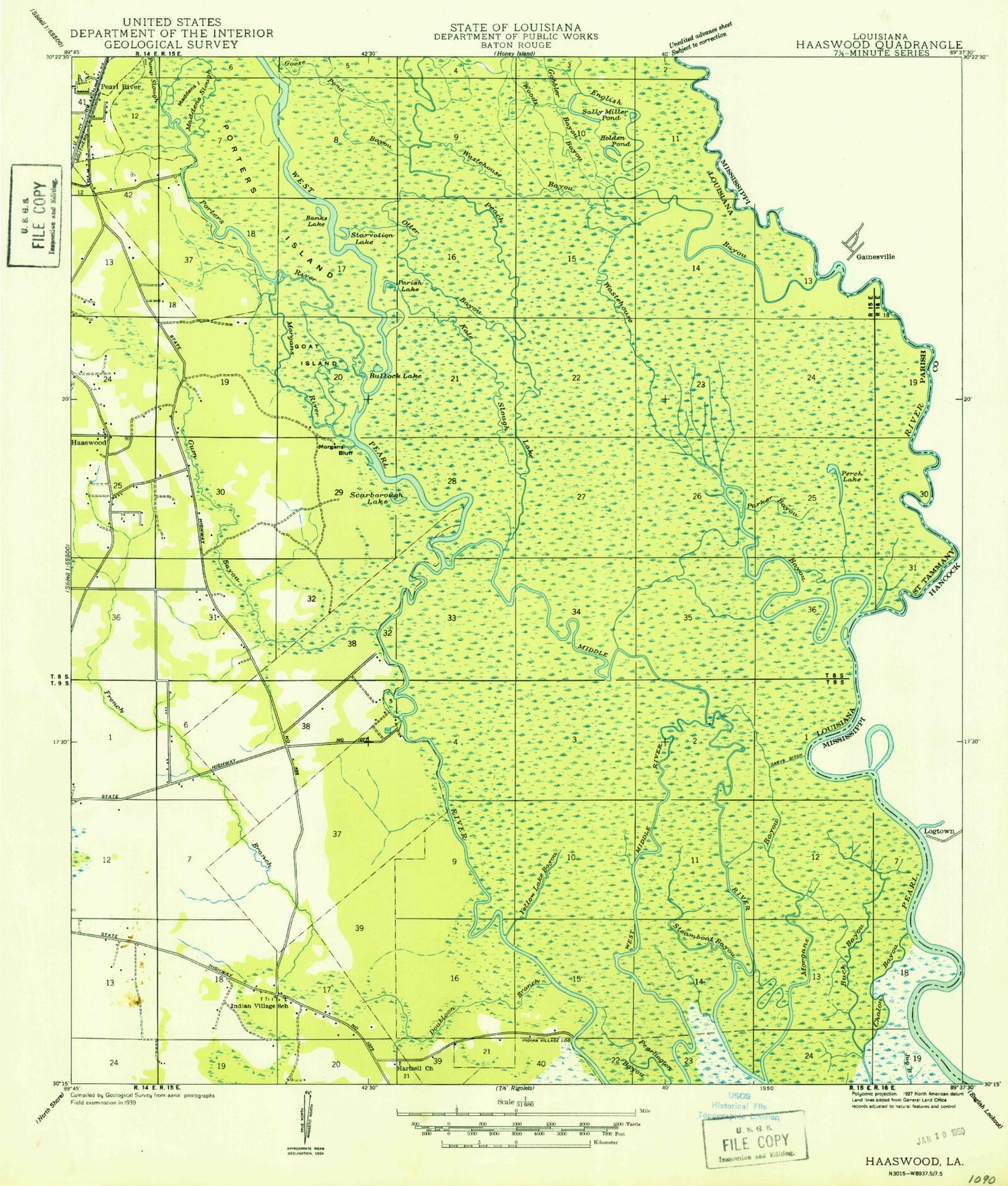
Classic USGS Haaswood Louisiana 7.5'x7.5' Topo Map
Couldn't load pickup availability
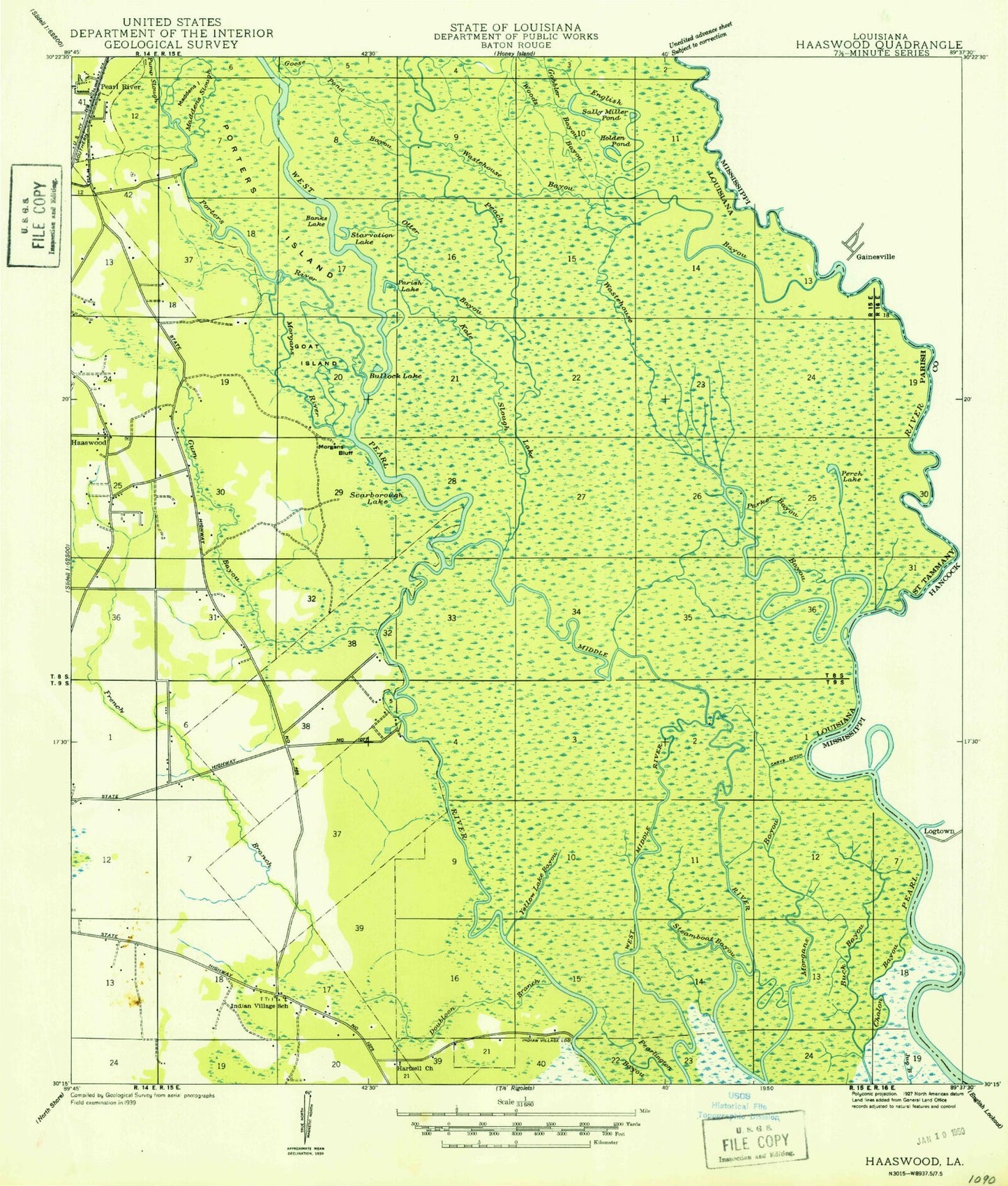
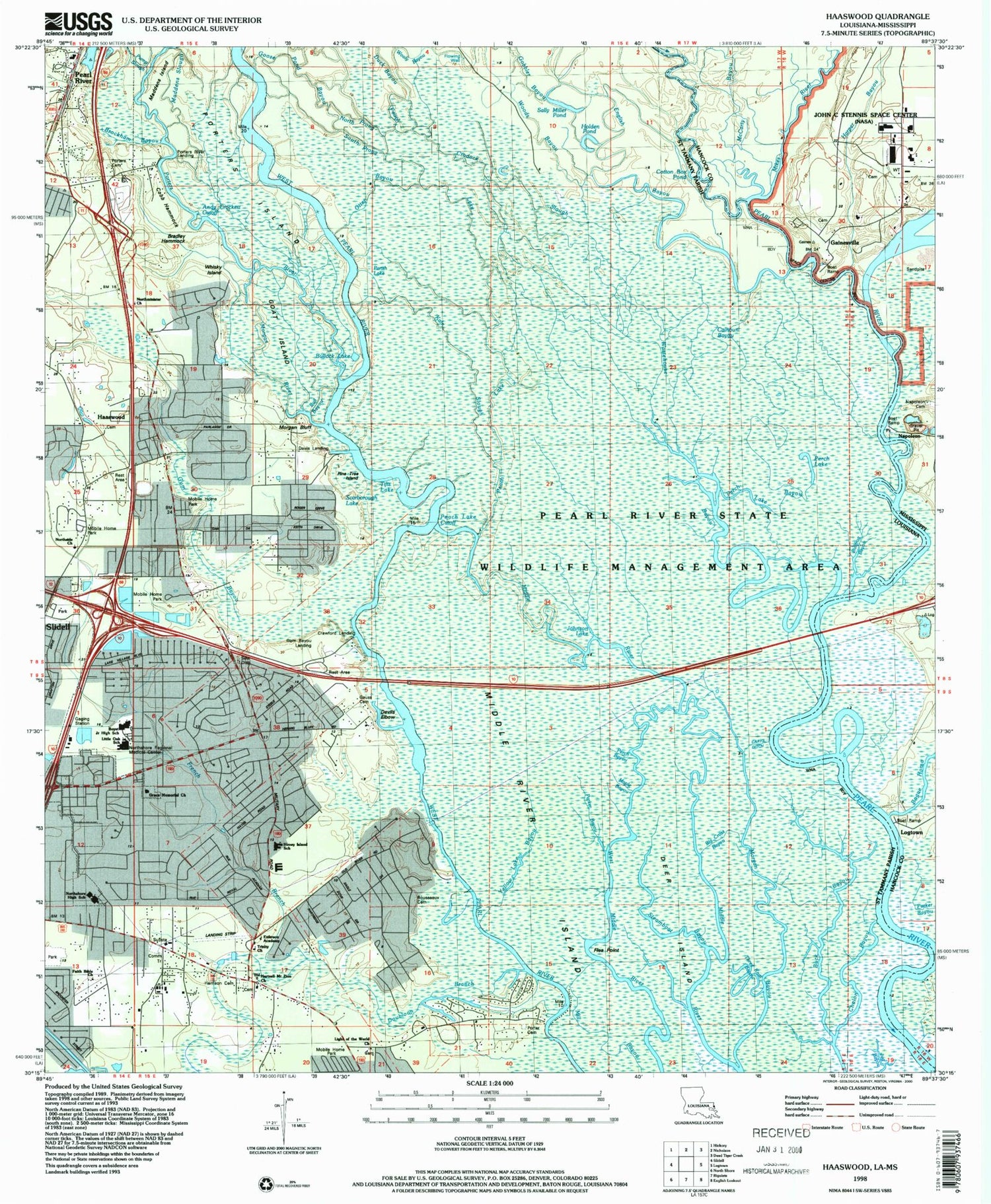
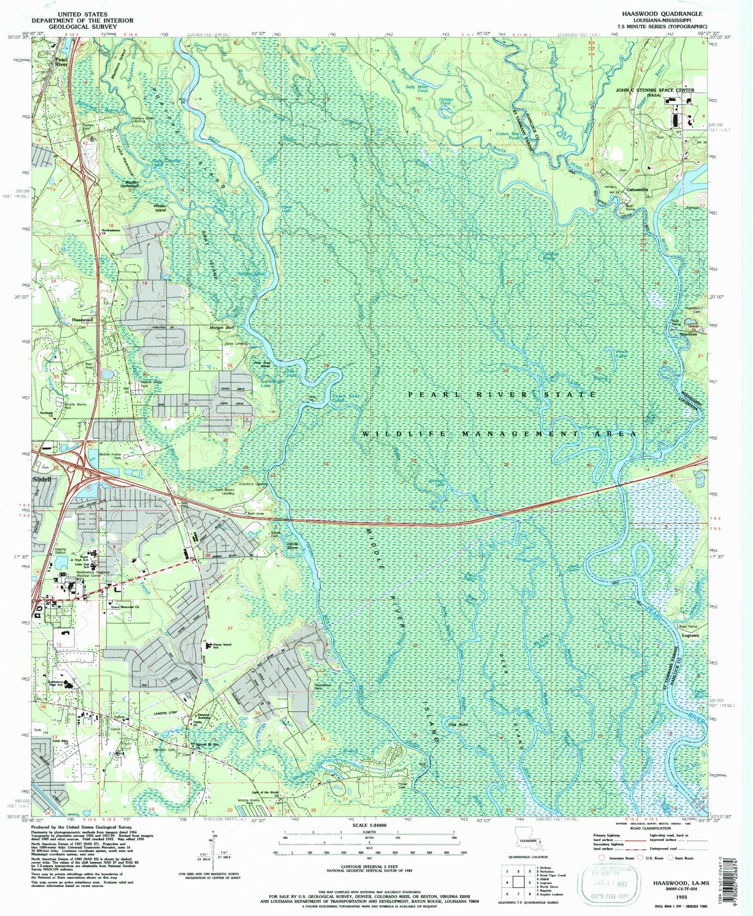
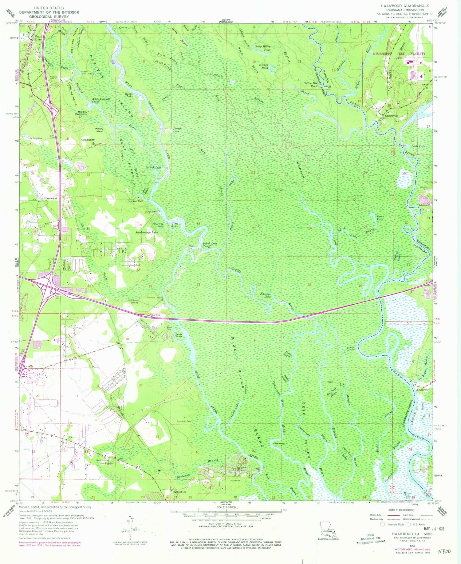
Historical USGS topographic quad map of Haaswood in the states of Louisiana, Mississippi. Typical map scale is 1:24,000, but may vary for certain years, if available. Print size: 24" x 27"
This quadrangle is in the following counties: Hancock, St. Tammany.
The map contains contour lines, roads, rivers, towns, and lakes. Printed on high-quality waterproof paper with UV fade-resistant inks, and shipped rolled.
Contains the following named places: Morgan River, Andy Crockett Cutoff, Banks Lake, Big Cross Bayou, Bill Ed Bayou, Bradley Hammock, Brockham Bayou, Buck Bayou, Bullfrog Bayou, Bull Bayou, Bullock Lake, Carys Ditch, Cobb Hammock, Community Church, Cotton Box Pond, Cradock Slough, Crawford Landing, Davis Landing, Deer Island, Devils Elbow, Doubloon Branch, Duck Bayou, English Bayou, Fish Bayou, Flea Point, French Branch, Gauss Cemetery, Goat Island, Gobbler Bayou, Goose Pond Bayou, Gum Bayou, Gum Bayou Landing, Haaswood, Harrison Jackson Square Cemetery, Hartsell Church, Holden Pond, Johnson Lake, Kale Slough, Maddens Island, Maddens Slough, Maple Bayou, Middle River Island, Morgan Bayou, Morgan Bluff, North Prong Goose Pond Bayou, Oak Grove Cemetery, Otter Bayou, Parish Lake, Parker Bayou, Peach Lake, Peach Lake Cutoff, Perch Bayou, Perch Lake, Perch Lake Bayou, Pine Tree Island, Porter's Cemetery, Porters Cemetery, Porters Island, Porters River, Porters River Landing, Pump Slough, Rousseaux Cemetery, Sally Miller Pond, Scarborough Lake, South Prong Goose Pond Bayou, Steamboat Bayou, Three Knot Bayou, Tifts Lake, Wastehouse Bayou, Whisky Island, Woods Bayou, Wooly Bayou, Ward Eight, Abney Country Air, Bel Air, Boyet Junior High School, Calhoun Bayou, Cross Gates, Doubloon Bayou Estates, Emerson Academy (historical), Foxhollow, French Branch Estates, Frenchmens Estates, Haaswood Cemetery, Hickory Hills, Holiday Acres, Honey Island Elementary School, Lake Village, Lindberg Glen, Little Oak Middle School, Magnolia Forest, Northshore High School, Ochsner Medical Center North Shore, Oak Grove Estates, Ozone Pines, Pearl Acres, Pecan Grove, Pope John Paul II Catholic High School, Quail Ridge, River Gardens, River Oaks, Rivercrest, Riverview Addition, Robert Park, The Settlement, Timber Lake Estates, Willow Wood, Yellow Lake Bayou, Northshore Regional Medical Center Heliport, Parish Governing Authority District 8, Parish Governing Authority District 9, Town of Pearl River, Northminster Montessori Preschool, Slidell Christian Academy School, Grace Memorial Early Learning Center School, Cypress Cove Elementary School, Country Club Mobile Home Park, Southern Manor Mobile Home Park, Tammany Mobile Home Park, Twin Oaks Mobile Manor, North Shore Living Center, The Live Oak Village of Slidell Adult Care Facility, Christian Church of Slidell, Faith Bible Church, First Baptist Church of Pearl River, Greater Northshore Church, High Praise Fellowship Church, Kingdom Hall of Jehovahs Witnesses, Lamb of God Lutheran Church, New Dimension Church of God, Riverside Baptist Church, Mount Zion United Methodist Church, New Jerusalem Praise and Worship Church, Northminster Presbyterian Church, Northside Baptist Church, Pearl Acres Baptist Church of Slidell, Saint Luke the Evangelist Catholic Church, Slidell Bible Chapel, Sovereign Grace Fellowship Church, The Church of Jesus Christ of Latter Day Saints, Trinity Presbyterian Church, Magnolia Forest Wastewater Treatment Plant, Northshore Psychiatric Hospital, Ochsner Health Center Slidell, Saint Tammany Parish Fire District 11 Station 113, Saint Tammany Parish Fire District 11 Station 112, Saint Tammany Parish Fire District 1 Station 14, Crawford Bayou, Bogue Homa, Gainesville, Harper Bayou, Little Lake, McCarty Bayou, Napoleon Cemetery, Parker Bayou, Napoleon, Morgan River, Andy Crockett Cutoff, Banks Lake, Big Cross Bayou, Bill Ed Bayou, Bradley Hammock, Brockham Bayou, Buck Bayou, Bullfrog Bayou, Bull Bayou, Bullock Lake, Carys Ditch, Cobb Hammock, Community Church, Cotton Box Pond, Cradock Slough, Crawford Landing, Davis Landing, Deer Island, Devils Elbow, Doubloon Branch, Duck Bayou, English Bayou, Fish Bayou, Flea Point, French Branch, Gauss Cemetery, Goat Island, Gobbler Bayou, Goose Pond Bayou, Gum Bayou, Gum Bayou Landing, Haaswood, Harrison Jackson Square Cemetery, Hartsell Church, Holden Pond, Johnson Lake, Kale Slough, Maddens Island, Maddens Slough, Maple Bayou, Middle River Island, Morgan Bayou, Morgan Bluff, North Prong Goose Pond Bayou, Oak Grove Cemetery, Otter Bayou, Parish Lake, Parker Bayou, Peach Lake, Peach Lake Cutoff, Perch Bayou, Perch Lake, Perch Lake Bayou, Pine Tree Island, Porter's Cemetery, Porters Cemetery, Porters Island, Porters River, Porters River Landing, Pump Slough, Rousseaux Cemetery, Sally Miller Pond, Scarborough Lake, South Prong Goose Pond Bayou, Steamboat Bayou, Three Knot Bayou, Tifts Lake, Wastehouse Bayou, Whisky Island, Woods Bayou, Wooly Bayou, Ward Eight, Abney Country Air, Bel Air, Boyet Junior High School, Calhoun Bayou, Cross Gates, Doubloon Bayou Estates, Emerson Academy (historical)
