MyTopo
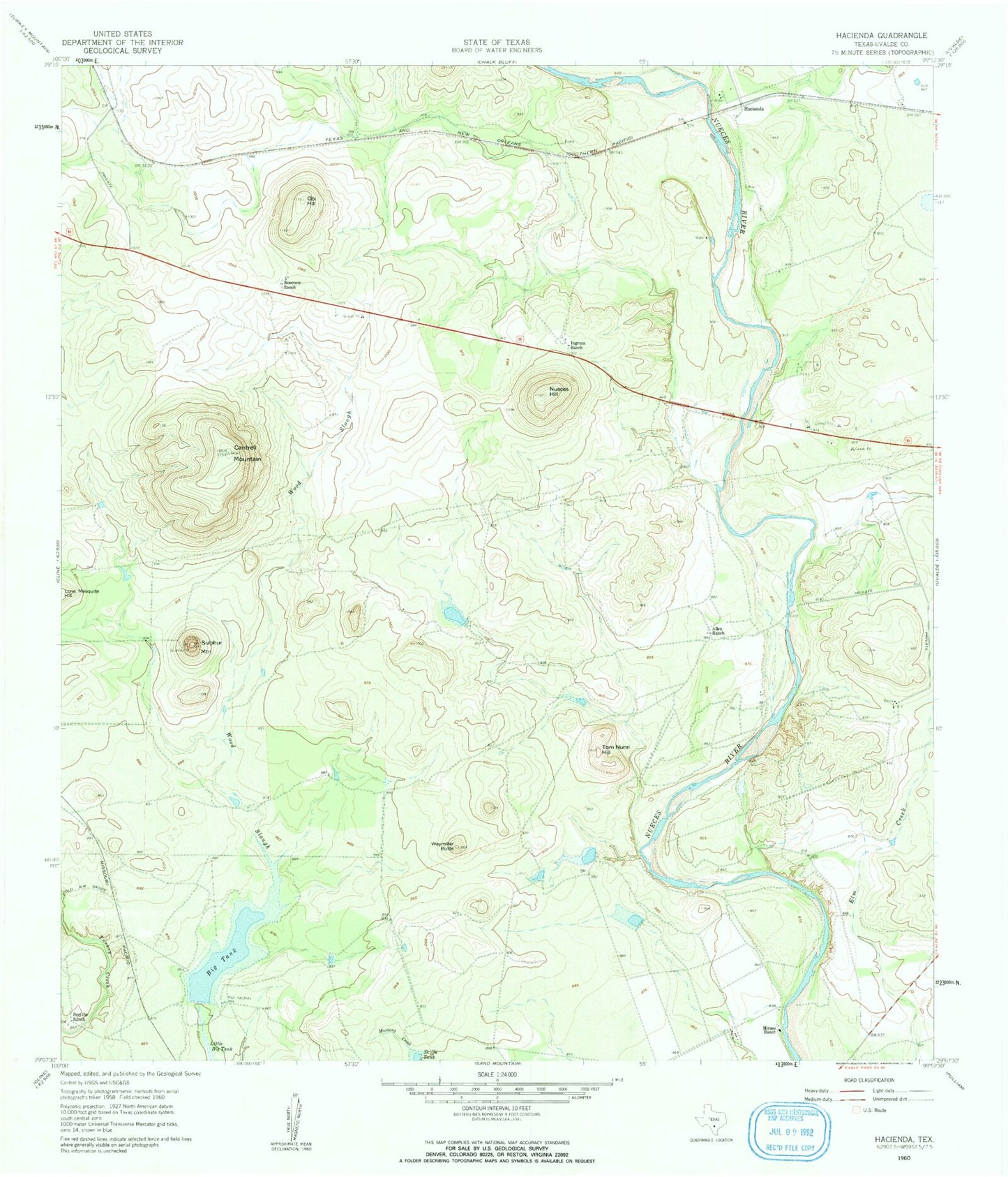
Classic USGS Hacienda Texas 7.5'x7.5' Topo Map
Couldn't load pickup availability
Historical USGS topographic quad map of Hacienda in the state of Texas. Map scale may vary for some years, but is generally around 1:24,000. Print size is approximately 24" x 27"
This quadrangle is in the following counties: Uvalde.
The map contains contour lines, roads, rivers, towns, and lakes. Printed on high-quality waterproof paper with UV fade-resistant inks, and shipped rolled.
Contains the following named places: Allen Ranch, Big Tank, Cantrell Mountain, Hacienda, Ingrum Ranch, Miraso Ranch, Nueces Hill, Obi Hill, Rosenow Ranch, Skiffa Tank, Smyth Dam, Smythe Ranch, Soldiers Camp Springs, State Highway 3 Bridge, Sulphur Mountain, Thompson Tank Dam, Thompson Tank Reservoir, Tom Nunn Hill, United States Border Patrol Checkpoint, Weymiller Butte