MyTopo
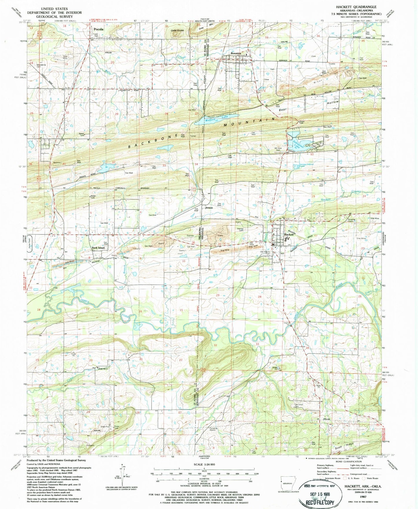
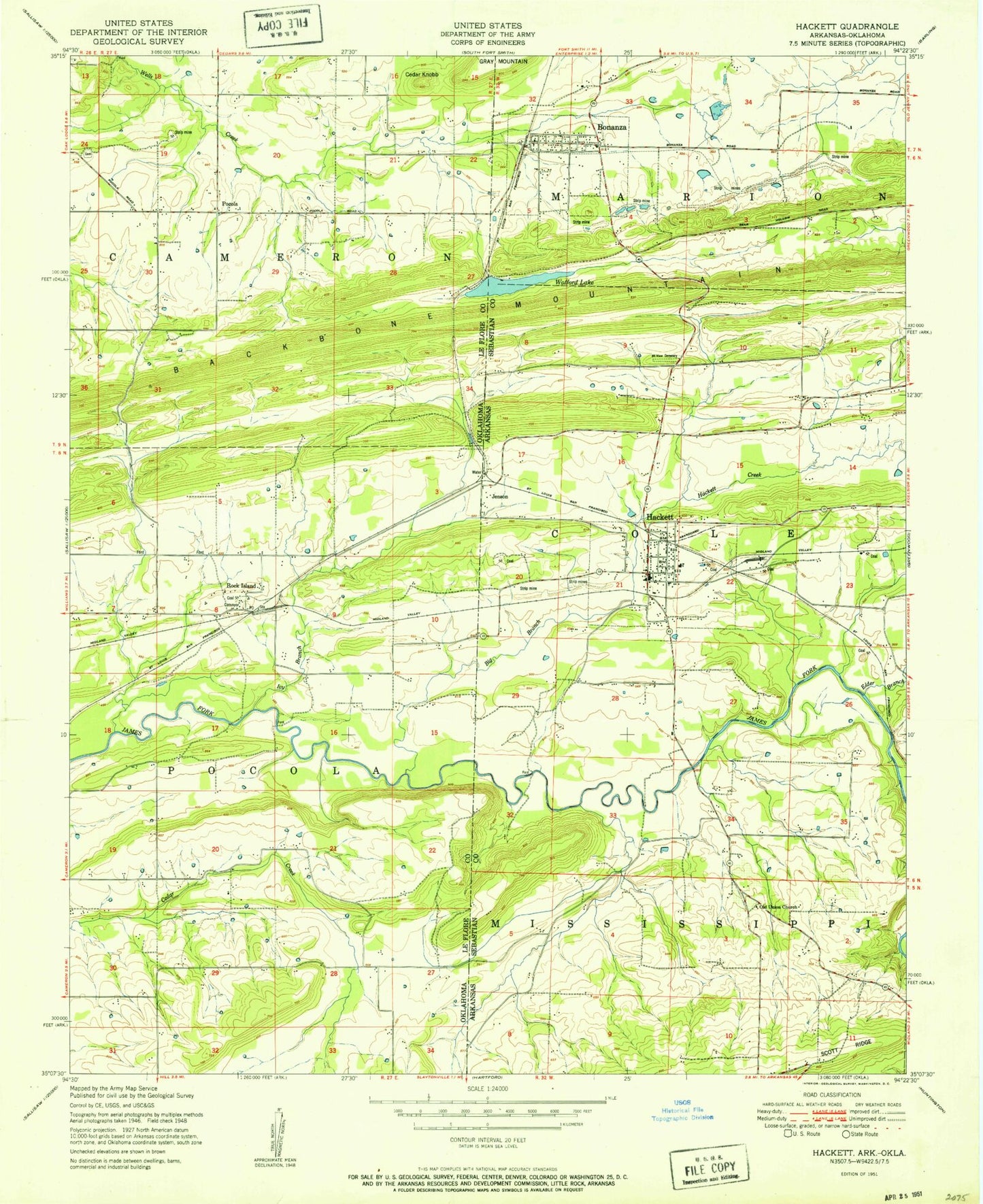
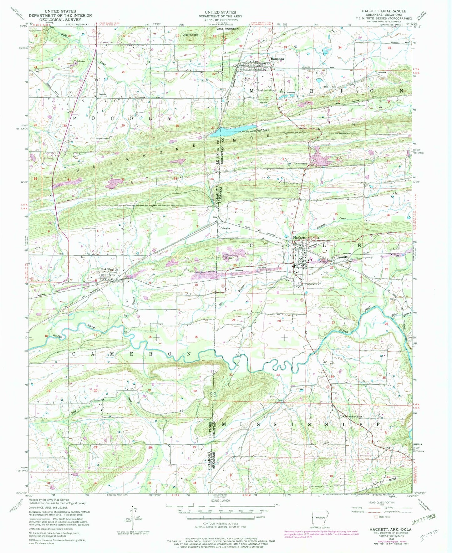
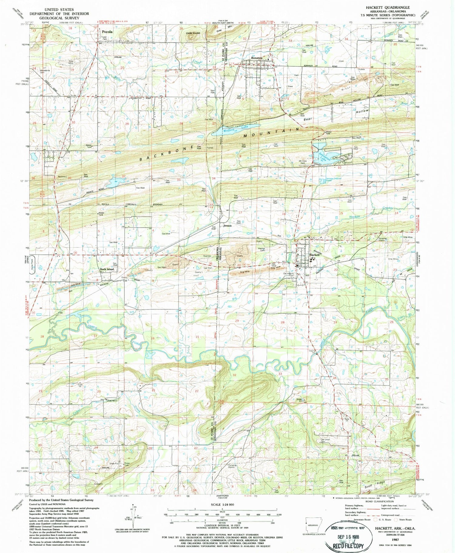
Classic USGS Hackett Arkansas 7.5'x7.5' Topo Map
Couldn't load pickup availability
Historical USGS topographic quad map of Hackett in the states of Arkansas, Oklahoma. Map scale may vary for some years, but is generally around 1:24,000. Print size is approximately 24" x 27"
This quadrangle is in the following counties: Le Flore, Sebastian.
The map contains contour lines, roads, rivers, towns, and lakes. Printed on high-quality waterproof paper with UV fade-resistant inks, and shipped rolled.
Contains the following named places: Amity Church, Bear Hollow, Big Branch, Bonanza, Bonanza Police Department, Bonanza Volunteer Fire Department, Cedar Knob, Cedar Knobb, City of Bonanza, City of Hackett, Davy Park, Doubleday, Elder Branch, Emergency Medical Services of Le Flore County Station 4 Pocola, Gray Mountain, Hackett, Hackett City Police Department, Hackett Creek, Hackett Elementary School, Hackett High School, Hackett Post Office, Hackett Volunteer Fire Department, Harden Number 1 Dam, Harden Number 1 Reservoir, Ivy Branch, Jenson, Liberty Hill Church, Macedonia Cemetery, Mountain View Cemetery, Old Hickory Cemetery, Old Union Cemetery, Old Union Church, Pocola, Pocola Division, Rock Island, Sebastian Lake, Sebastian Lake Dam, Town of Pocola, Town of Rock Island, Township of Cole, Township of Pocola, Vinita Cemetery, Wafford Lake Dam, Wofford Lake, ZIP Codes: 72937, 74902