MyTopo
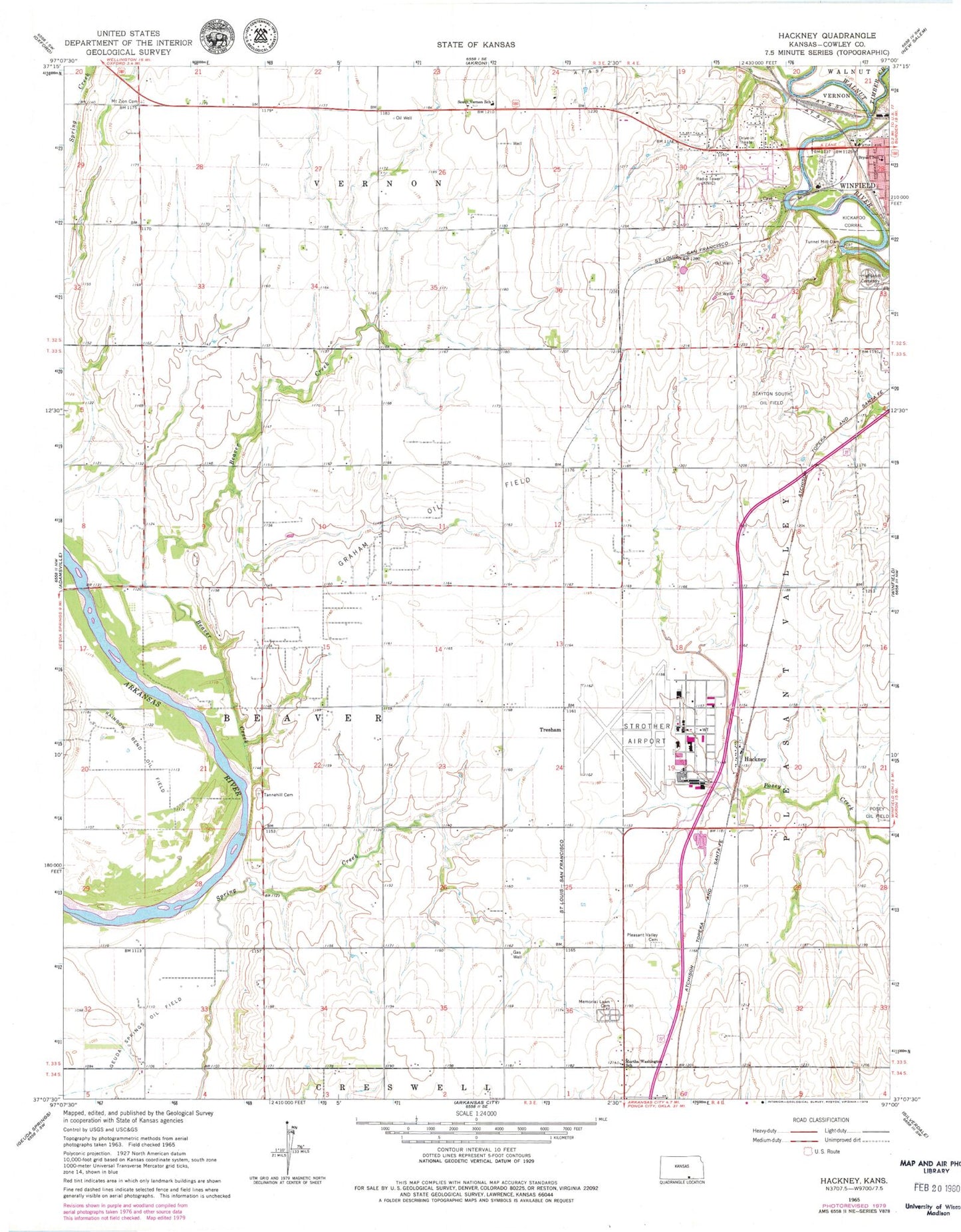
Classic USGS Hackney Kansas 7.5'x7.5' Topo Map
Couldn't load pickup availability
Historical USGS topographic quad map of Hackney in the state of Kansas. Map scale may vary for some years, but is generally around 1:24,000. Print size is approximately 24" x 27"
This quadrangle is in the following counties: Cowley.
The map contains contour lines, roads, rivers, towns, and lakes. Printed on high-quality waterproof paper with UV fade-resistant inks, and shipped rolled.
Contains the following named places: Beaver Creek, Bryant School, Centennial School, Cowley County Historical Museum, Dunamis Church, Easterly School, Enterprise School, Fair View School, Graham Oil Field, Hackney Baptist Church, Highland Cemetery, Hill View School, Holland School, Kickapoo Corral, KKLE - AM (Winfield), KNIC-AM (Winfield), Lone Star School, Martha Washington School, Memorial Lawn Cemetery, Mount Zion Cemetery, Mount Zion Church, Pleasant Valley Cemetery, Pleasant Valley Church, South Central Kansas Medical Center, Stayton South Oil Field, Strother Army Air Field, Strother Field, Strother Field Airport Industrial Park, Tannehill, Tannehill Cemetery, Tannehill School, Timber Creek, Township of Beaver, Tresham, Tunnel Mill Dam, Tyler Airport, Victor School, Winfield Country Club, Winfield Fairgrounds, Winfield Fairgrounds Speedway, Winfield Junction, Winfield Municipal Power Plant Number 2


