MyTopo
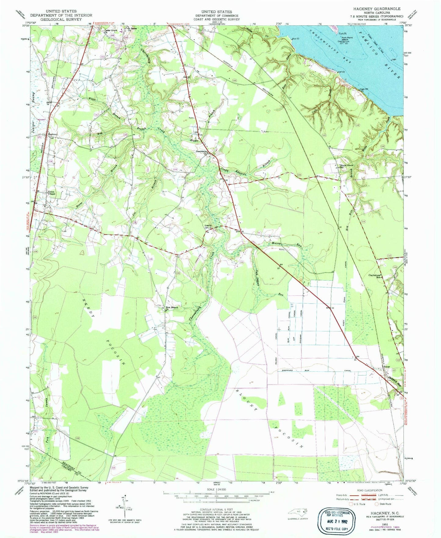
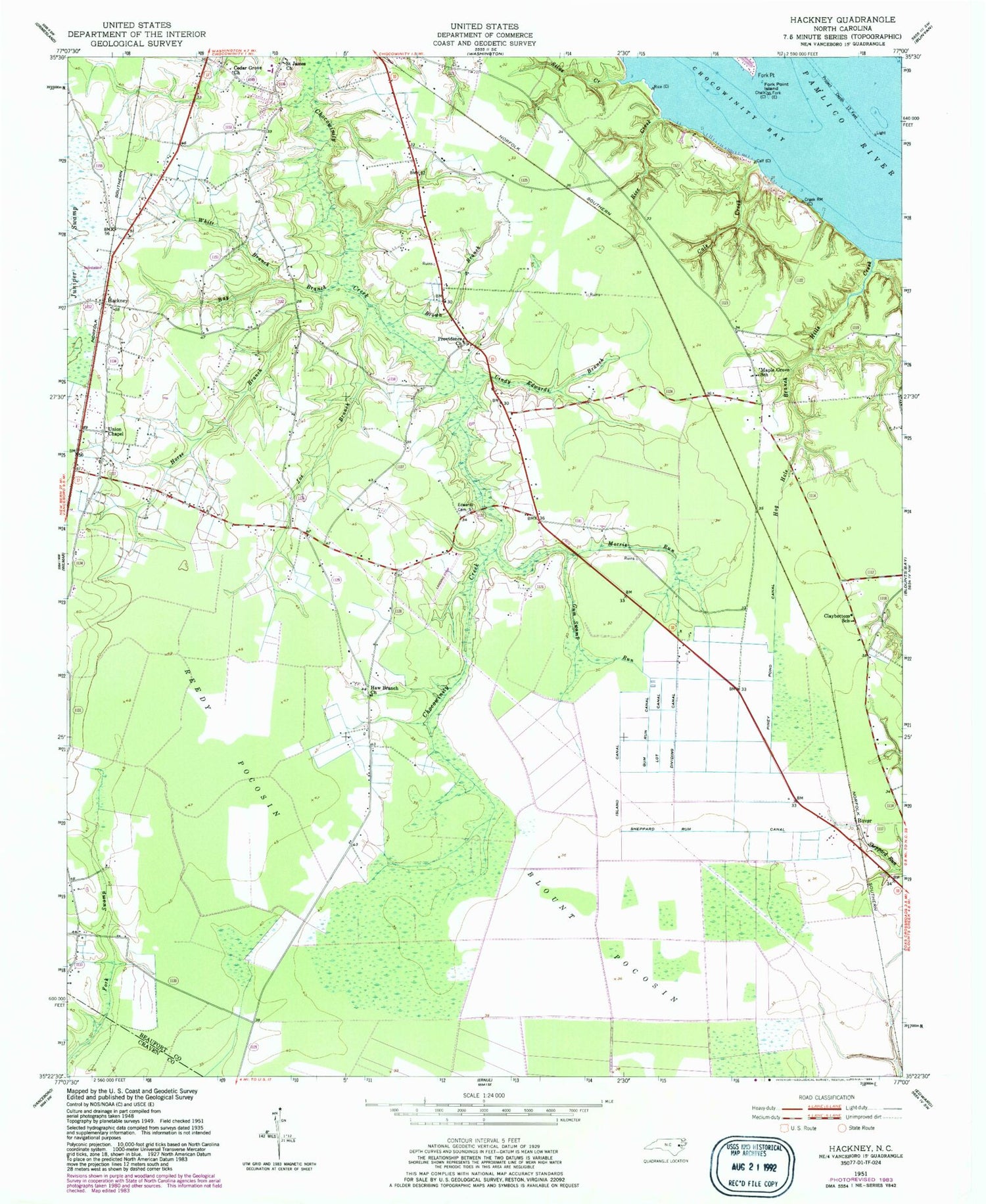
Classic USGS Hackney North Carolina 7.5'x7.5' Topo Map
Couldn't load pickup availability
Historical USGS topographic quad map of Hackney in the state of North Carolina. Map scale may vary for some years, but is generally around 1:24,000. Print size is approximately 24" x 27"
This quadrangle is in the following counties: Beaufort, Craven.
The map contains contour lines, roads, rivers, towns, and lakes. Printed on high-quality waterproof paper with UV fade-resistant inks, and shipped rolled.
Contains the following named places: Bay Branch, Blount Pocosin, Brown Branch, Cals Creek, Cedar Grove Church, Cindy Edwards Branch, Clay Bottom Church, Claybottom School, Cypress Landing Census Designated Place, Dividing Canal, Edwards Cemetery, Fork Point, Fork Point Island, Gum Run Canal, Gum Swamp Run, Hackney, Haw Branch Church, Hills Creek, Hog Hole Branch, Horse Branch, Island Canal, James Chapel, Joe Branch, Juniper Swamp, Lot Canal, Maple Grove School, McConnell, Morris Run, Noe Chapel, Piney Pond Canal, Providence Church, Reedy Pocosin, Rice Creek, Rover, Rover Station, Saint James Church, Sheppard Run Canal, Silas Creek, Township of Chocowinity, Union Chapel, White Branch, ZIP Code: 27817


