MyTopo
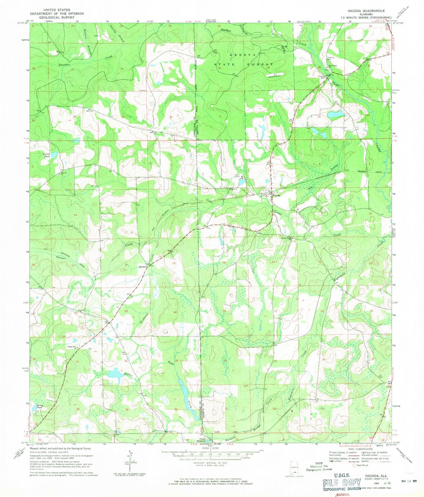
Classic USGS Hacoda Alabama 7.5'x7.5' Topo Map
Couldn't load pickup availability
Historical USGS topographic quad map of Hacoda in the state of Alabama. Map scale may vary for some years, but is generally around 1:24,000. Print size is approximately 24" x 27"
This quadrangle is in the following counties: Covington, Geneva.
The map contains contour lines, roads, rivers, towns, and lakes. Printed on high-quality waterproof paper with UV fade-resistant inks, and shipped rolled.
Contains the following named places: Adams Pond, Argus Post Office, Beaver Pond Creek, Big Swamp, Breeds Creek, Bridge Branch, Buffalo Hill, Camp Victory, Cassidy Branch, Chapel Hill, Chapel Hill Cemetery, Chapel Hill Missionary Baptist Church, Corner Creek, Corner Creek Lower Cemetery, Corner Creek Methodist Church, Corner Creek Upper Cemetery, Davis School, Elitha Grove Church, Finks Millpond, Flat Creek Cemetery, Flat Creek Church, Hacoda, Hacoda Union Church, Holley Pond, Howells, Indian Branch, Jones School, Meadowbrook, Natural Bridge Creek, Norris Pond, Old Sardis Cemetery, Panther Creek, Pigeon Pond, Richland Creek, Russell Branch, Smyrna Baptist Church


