MyTopo
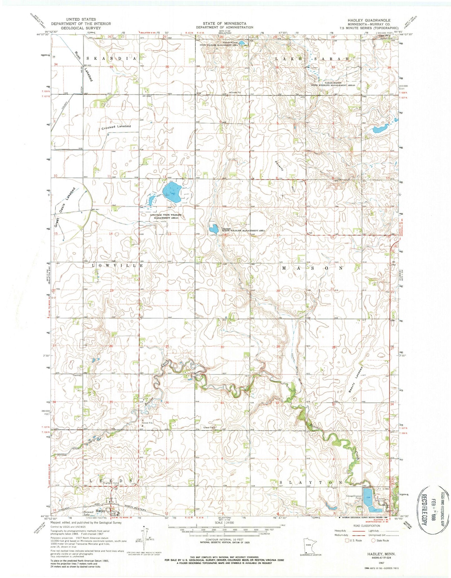
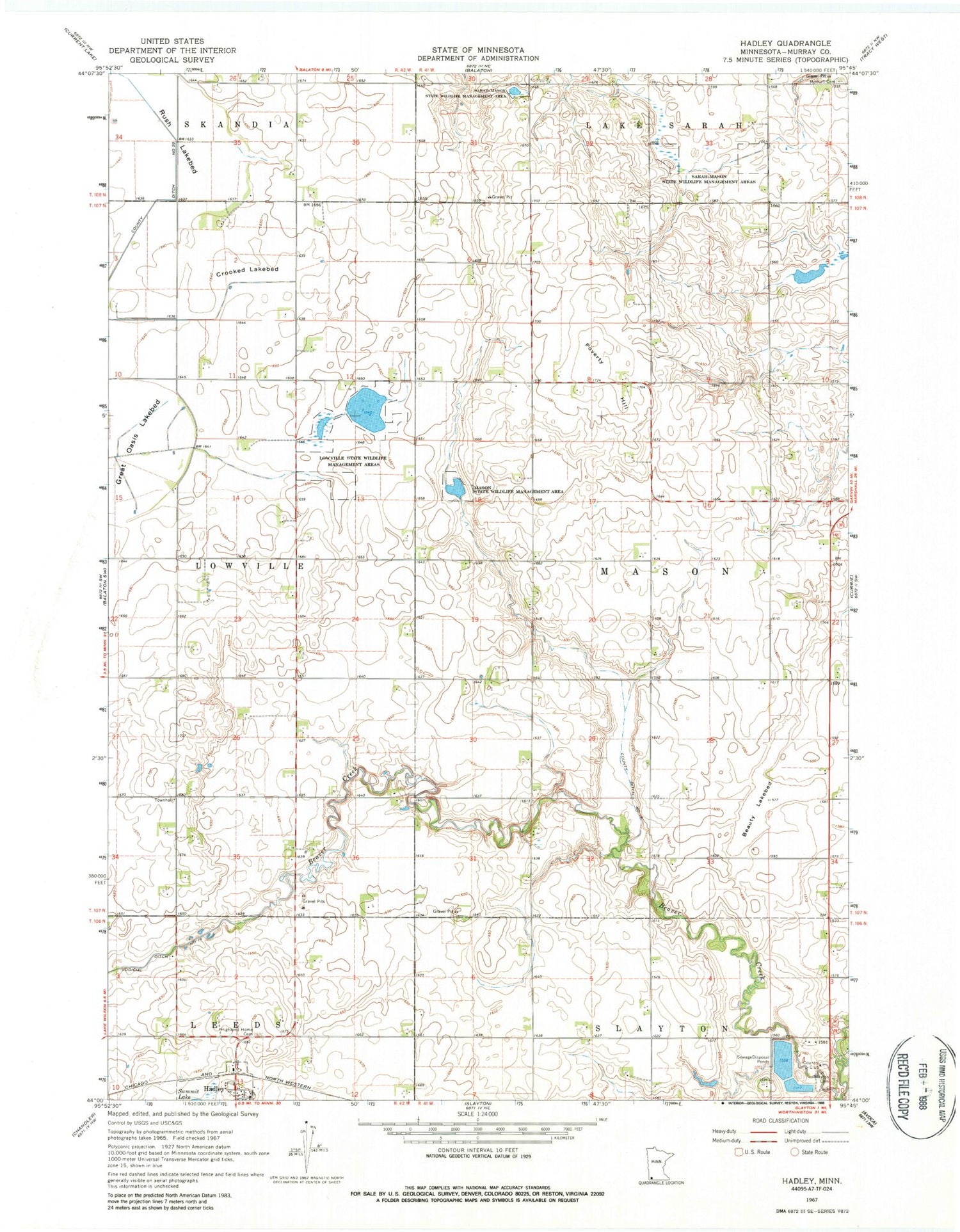
Classic USGS Hadley Minnesota 7.5'x7.5' Topo Map
Couldn't load pickup availability
Historical USGS topographic quad map of Hadley in the state of Minnesota. Map scale may vary for some years, but is generally around 1:24,000. Print size is approximately 24" x 27"
This quadrangle is in the following counties: Murray.
The map contains contour lines, roads, rivers, towns, and lakes. Printed on high-quality waterproof paper with UV fade-resistant inks, and shipped rolled.
Contains the following named places: Beauty Lakebed, County Ditch Number Eighteen, Crooked Lakebed, Hadley, Hadley Area Community Center, Hadley Lutheran Church, Hadley Post Office, Highland Home Cemetery, Lowville, Lowville Post Office, Lowville State Wildlife Management Areas, Mason State Wildlife Management Area, Modum Cemetery, Murray County, Poverty Hill, Rush Lakebed, Slayton Cemetery, Slayton Country Club, Slayton Wastewater Treatment Plant, Stonegate Orchard, Township of Mason, ZIP Code: 56172