MyTopo
Classic USGS Hadnot Creek North Carolina 7.5'x7.5' Topo Map
Regular price
$16.95
Regular price
Sale price
$16.95
Unit price
per
Couldn't load pickup availability
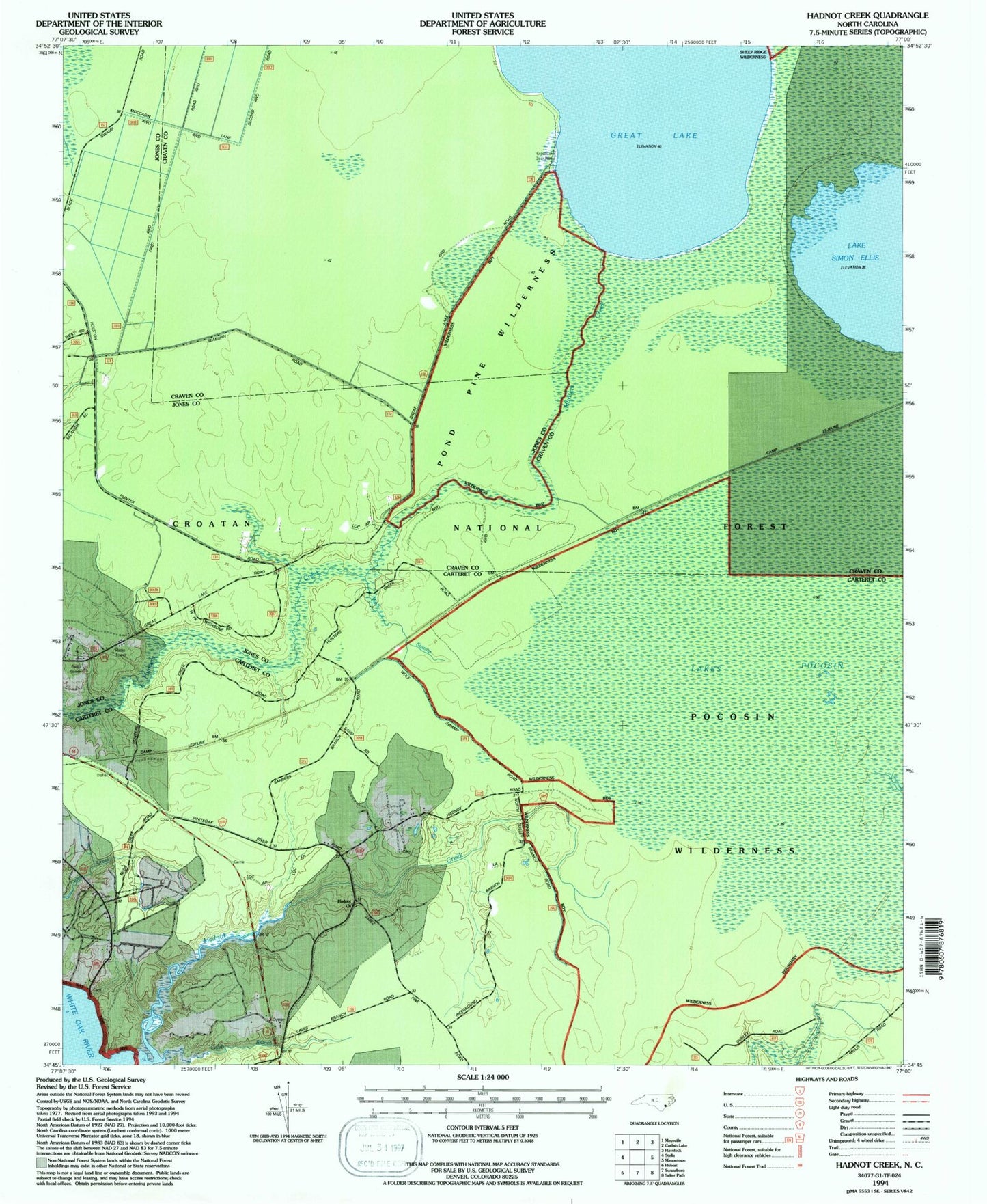
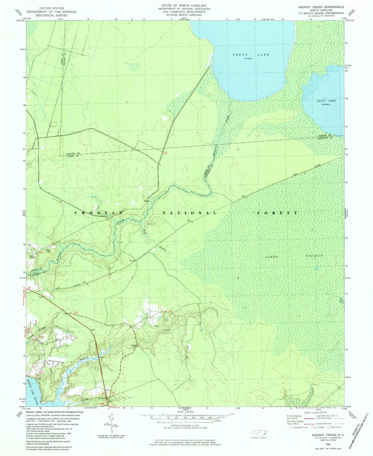
Historical USGS topographic quad map of Hadnot Creek in the state of North Carolina. Typical map scale is 1:24,000, but may vary for certain years, if available. Print size: 24" x 27"
This quadrangle is in the following counties: Carteret, Craven, Jones.
The map contains contour lines, roads, rivers, towns, and lakes. Printed on high-quality waterproof paper with UV fade-resistant inks, and shipped rolled.
Contains the following named places: Caleb Branch, Lake Ellis Simon, Great Lake, Hadnot Church, Pond Pine Wilderness, Great Lake Recreation Site, Pocosin Wilderness, Hadnot Creek, Wolf Swamp, Croatan National Forest