
MyTopo
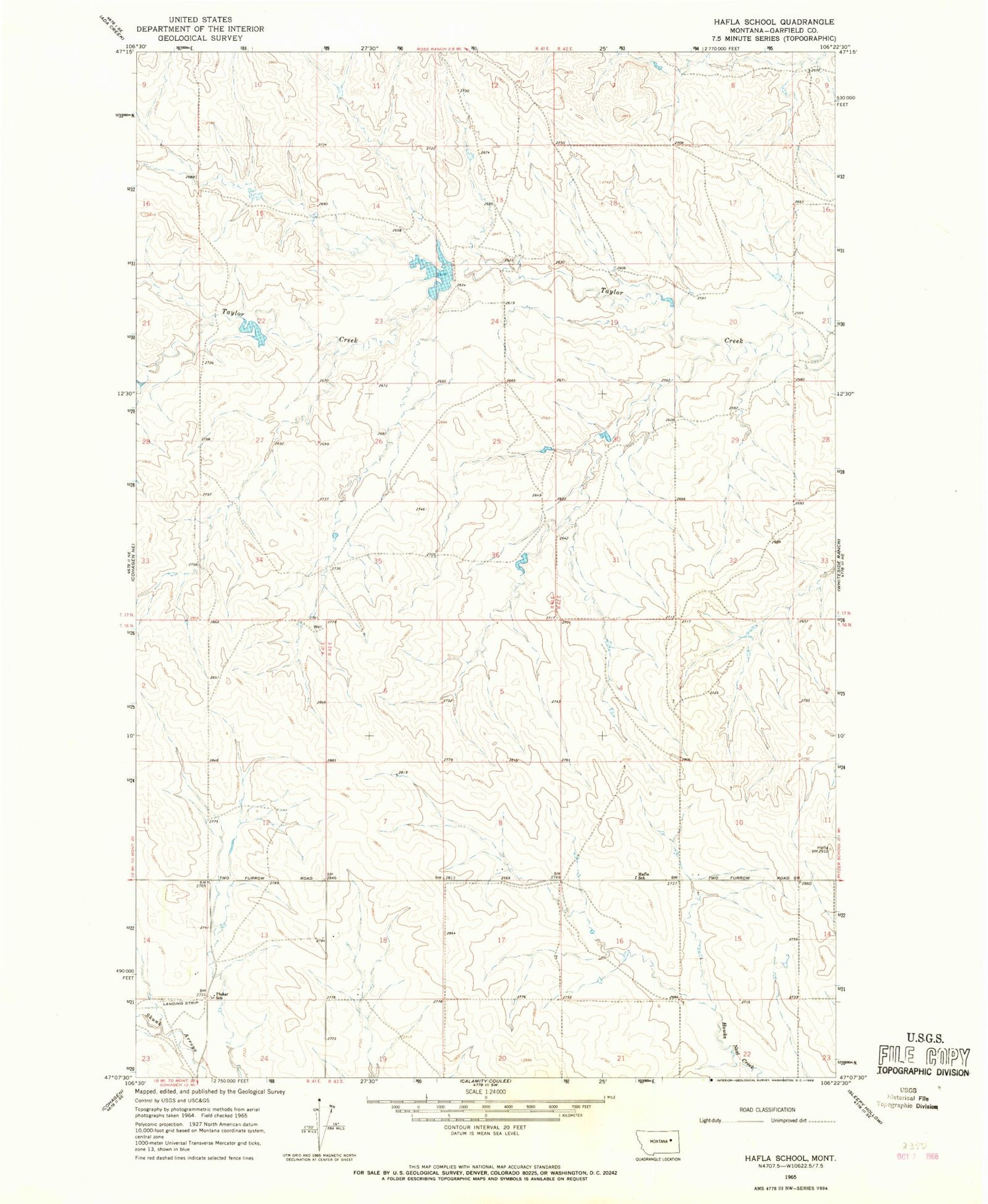
Classic USGS Hafla School Montana 7.5'x7.5' Topo Map
Regular price
$16.95
Regular price
Sale price
$16.95
Unit price
per
Couldn't load pickup availability
Historical USGS topographic quad map of Hafla School in the state of Montana. Map scale may vary for some years, but is generally around 1:24,000. Print size is approximately 24" x 27"
This quadrangle is in the following counties: Garfield.
The map contains contour lines, roads, rivers, towns, and lakes. Printed on high-quality waterproof paper with UV fade-resistant inks, and shipped rolled.
Contains the following named places: 16N42E06B___01 Well, 16N42E08DCCB01 Well, 16N42E15BAAC01 Well, 17N41E33D___01 Well, 17N41E34B___01 Well, Hafla School, Pluhar Airport, Pluhar School, Ross Dam, Ross Number 2 Dam, Taylor Creek Post Office, Taylor Creek School


