MyTopo
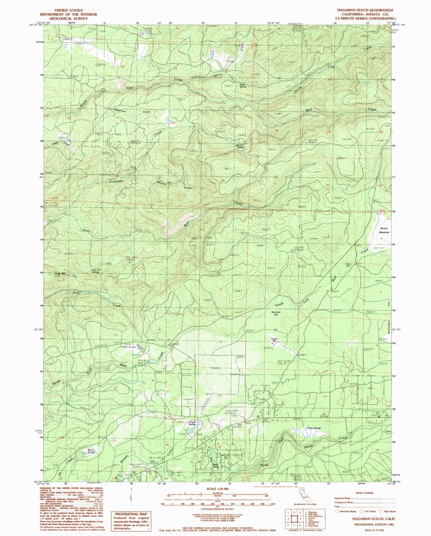
Classic USGS Hagaman Gulch California 7.5'x7.5' Topo Map
Couldn't load pickup availability
Historical USGS topographic quad map of Hagaman Gulch in the state of California. Map scale may vary for some years, but is generally around 1:24,000. Print size is approximately 24" x 27"
This quadrangle is in the following counties: Shasta.
The map contains contour lines, roads, rivers, towns, and lakes. Printed on high-quality waterproof paper with UV fade-resistant inks, and shipped rolled.
Contains the following named places: Atkins Creek, Beal Creek, Bear Pen Springs, Berry Spring, Brand Spring, Chalk Mountain, Coyote Flat, Crook Springs, Dersch Meadows, Dickerson Creek, Fillmore Ranch, Glass Springs, Hagaman Gulch, Johnson Spring, Miners Gulch, Poorman Flat, Ritts Mill, Shingletown Airport, Shingletown Census Designated Place, Shingletown Volunteer Fire Company, Shingletown Volunteer Fire Company Substation, Soda Spring, South Cow Creek Campground


