MyTopo
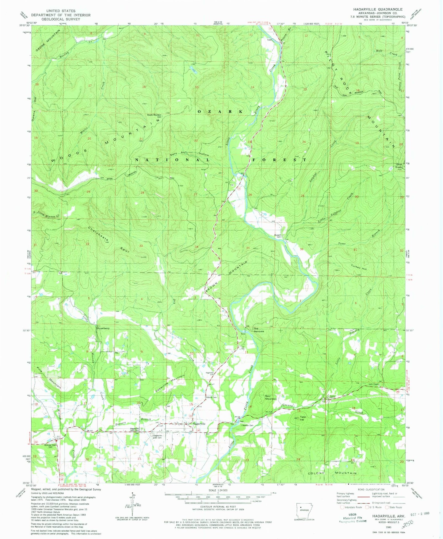
Classic USGS Hagarville Arkansas 7.5'x7.5' Topo Map
Couldn't load pickup availability
Historical USGS topographic quad map of Hagarville in the state of Arkansas. Map scale may vary for some years, but is generally around 1:24,000. Print size is approximately 24" x 27"
This quadrangle is in the following counties: Johnson.
The map contains contour lines, roads, rivers, towns, and lakes. Printed on high-quality waterproof paper with UV fade-resistant inks, and shipped rolled.
Contains the following named places: Adkins Cemetery, Annies Chapel, Annis Chapel Cemetery, Brown Mountain, Chalybeate Spur, Chronister Store, Deevers Branch, Dry Creek, Granny Creek, Grassy Point Creek, Hagarville, Hagarville Census Designated Place, Hagarville East Cemetery, Hagarville Mountain, Hagarville Post Office, Hagarville West Cemetery, Johnson County Rural Fire District 3, Lees Chapel, Lees Chapel Assembly of God Church, Little Granny Creek, Little Minnow Creek, Little Sulphur Creek, Mikles Creek, Minnow Creek Cemetery, Murray Chapel School, Newton Cemetery, Peters Branch, Pilot Knob, Pilot Rock Mountain, Pine Mountain, Poyner, Red Oak School, Russell Cemetery, Sally Ann Hollow, Saul Mountain, Strawberry, Strawberry Assembly of God Church, Strawberry School, Sulphur Creek, Summerland School, Tater Hill, The Narrows, Toms Branch, Township of Hickey, Township of Perry, Turkey Hill, Woods Mountain, Woods Mountain Cemetery, Woods Mountain School, Zadock