MyTopo
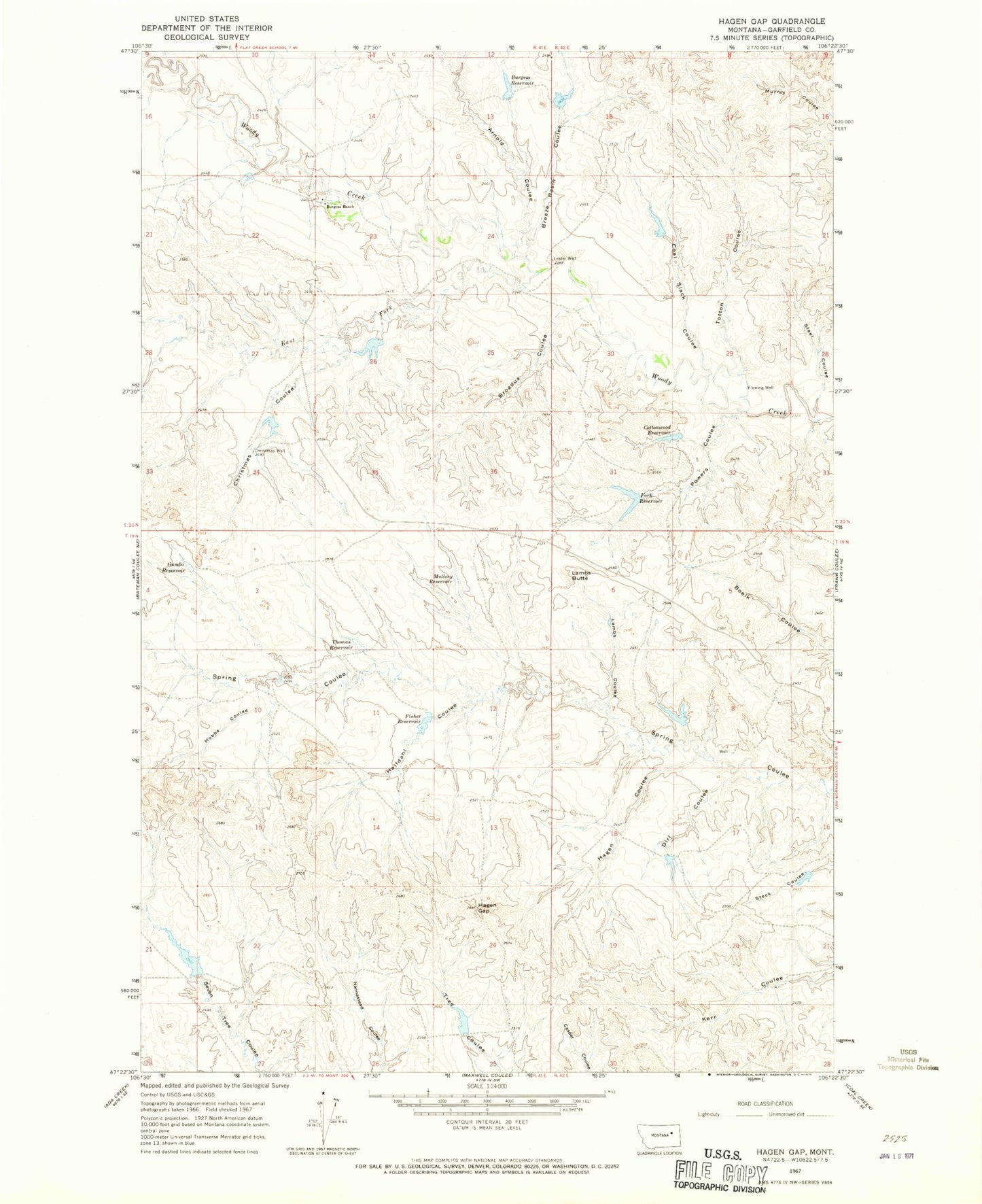
Classic USGS Hagen Gap Montana 7.5'x7.5' Topo Map
Couldn't load pickup availability
Historical USGS topographic quad map of Hagen Gap in the state of Montana. Map scale may vary for some years, but is generally around 1:24,000. Print size is approximately 24" x 27"
This quadrangle is in the following counties: Garfield.
The map contains contour lines, roads, rivers, towns, and lakes. Printed on high-quality waterproof paper with UV fade-resistant inks, and shipped rolled.
Contains the following named places: 20N41E14A___01 Well, 20N41E23B___01 Well, 20N41E23B___02 Well, 20N41E26ABAD01 Well, 20N42E28CD__01 Well, Arnold Coulee, Billing Spring Number 1 Dam, Billings Number 1 Dam, Billings Number 2 Dam, Breeze Basin Coulee, Breezy Basin Dam, Broadus Coulee, Burgess Ranch, Burgess Ranch Number 1 Dam, Burgess Reservoir, Christmas Coulee, Christmas Dam Number 1, Christmas Well, Coal Dam, Coal Slack Coulee, Cottonwood Reservoir, Dirl Coulee, East Fork Woody Creek, Fisher Reservoir, Fisher Reservoir Dam, Fork Reservoir, Gumbo Reservoir, Hagen Coulee, Hagen Gap, Halfdahl Coulee, Hobbs Coulee, Lambs Butte, Lambs Coulee, Lester Well, Mullory Reservoir, Powers Coulee, Seven Tree Dam, Stee Coulee, Thomas Reservoir, Totton Coulee, Tree Coulee Dam, USA Reservoir Number 1 Dam, Viall Post Office


