MyTopo
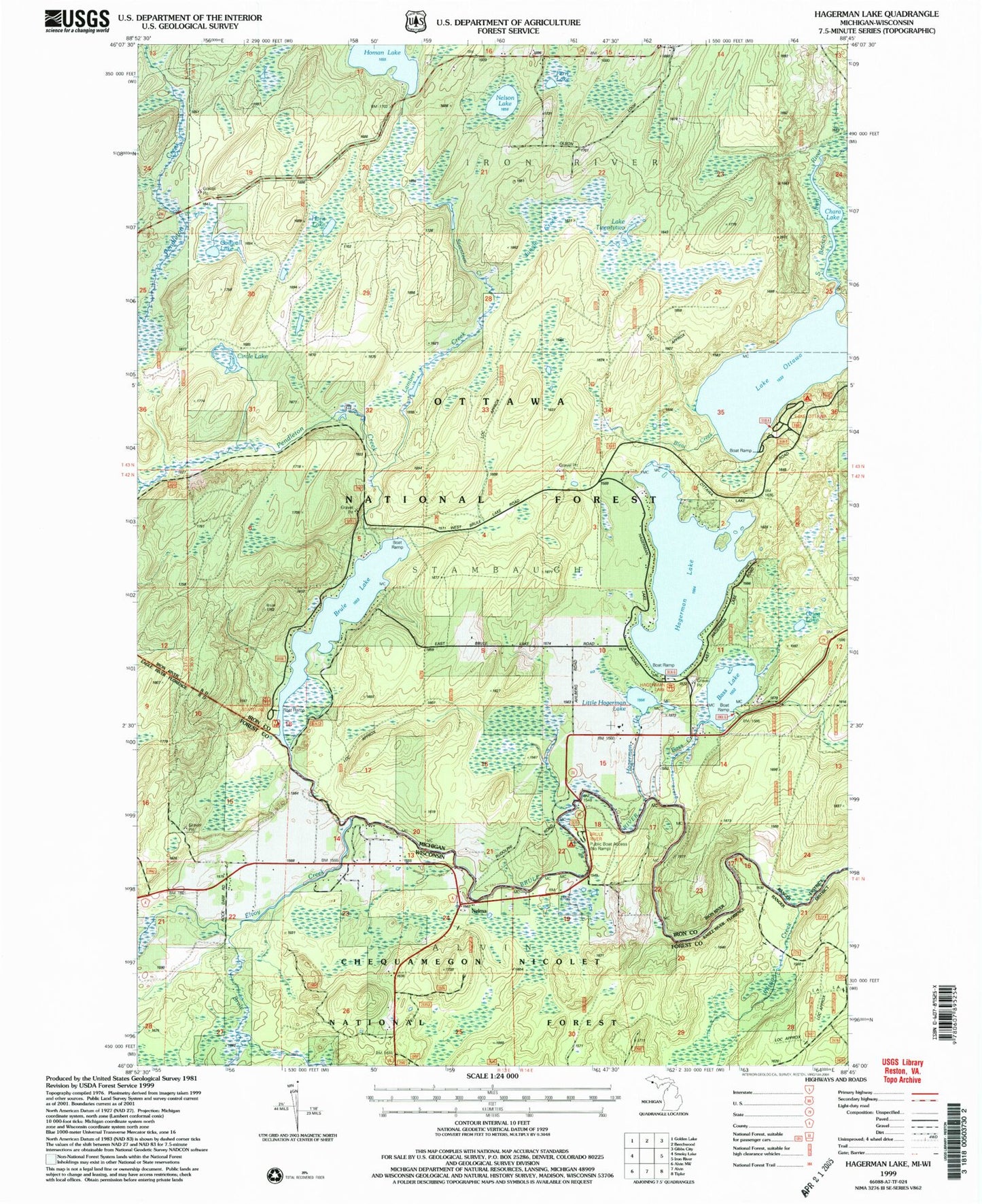
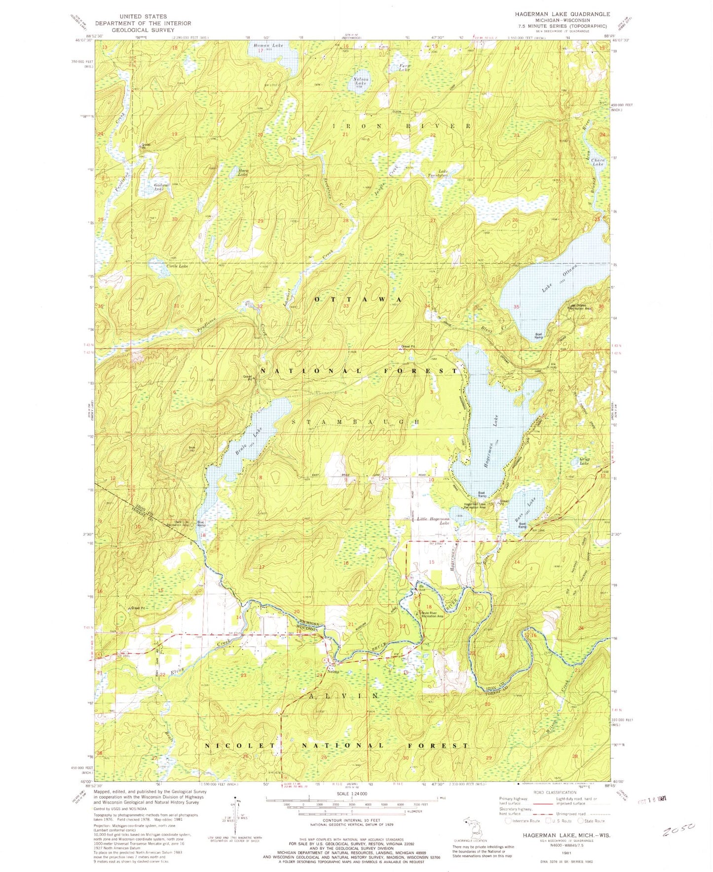
Classic USGS Hagerman Lake Michigan 7.5'x7.5' Topo Map
Couldn't load pickup availability
Historical USGS topographic quad map of Hagerman Lake in the states of Michigan, Wisconsin. Typical map scale is 1:24,000, but may vary for certain years, if available. Print size: 24" x 27"
This quadrangle is in the following counties: Forest, Iron.
The map contains contour lines, roads, rivers, towns, and lakes. Printed on high-quality waterproof paper with UV fade-resistant inks, and shipped rolled.
Contains the following named places: Bass Lake, Brule Lake, Circle Lake, Greig Lake, Hagerman Lake, Horn Lake, Lambert Creek, Nelson Lake, Bass Creek, Bleat Creek, Gadwall Lake, Hagerman Creek, Jungle Creek, Little Hagerman Lake, Chara Lake, Ottawa Lake, Lake Ottawa, Pendleton Creek, Seventeen Creek, Homan Lake, Lake Twentytwo, State Line Recreation Area, Hagerman Lake Recreation Area, Lake Ottawa Recreation Area, Fern Lake, Brule Lookout Tower, Brule Creek, Elvoy Creek, Elvoy School, Nelma, Wilson Creek, Brule River Recreation Area, Mile Post Zero and Treaty Tree Point of Interest


