MyTopo
Classic USGS Hagerstown Indiana 7.5'x7.5' Topo Map
Couldn't load pickup availability
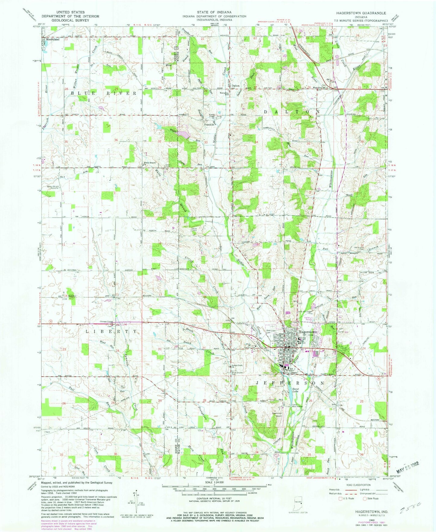
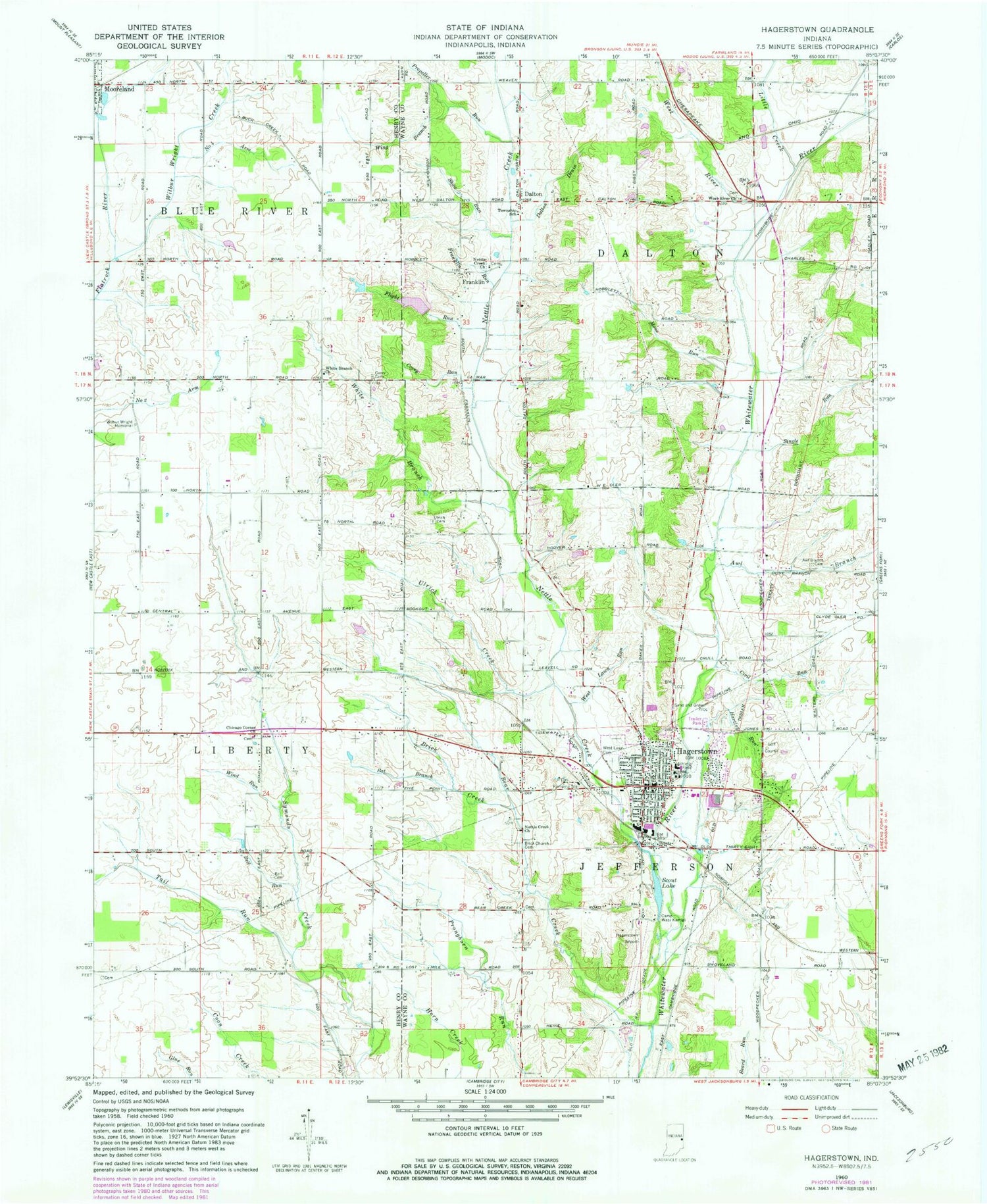
Historical USGS topographic quad map of Hagerstown in the state of Indiana. Map scale may vary for some years, but is generally around 1:24,000. Print size is approximately 24" x 27"
This quadrangle is in the following counties: Henry, Wayne.
The map contains contour lines, roads, rivers, towns, and lakes. Printed on high-quality waterproof paper with UV fade-resistant inks, and shipped rolled.
Contains the following named places: Awl Branch, Bales Cemetery, Bat Branch, Bear Creek, Bell Cemetery, Bell Run, Brick Church Cemetery, Brick Creek, Camp Wapi Kamigi, Chicago Corner Cemetery, Chicago Corner Church, Civil Run, Corey Run, Culberson Emergency Medical Services, Dalton, Dalton Drain, Dawn Lake Dam, Flight Run, Franklin, Franklin Run, Hagerstown, Hagerstown Airport, Hagerstown Indiana Fire Department, Hagerstown Police Department, Hagerstown Post Office, Hartley Run, House Gravel Pit, Little Creek, Mono Run, Nettle Creek, Nettle Creek Church, Number Four Arm, Olive Branch Cemetery, Propeller Run, Scout Lake, Show Run, Single Run, Tail Run, Town of Hagerstown, Township of Dalton, Township of Jefferson, Ulrich Cemetery, Ulrich Creek, West Lawn Cemetery, West Lawn Run, West River, West River Church, White Branch, White Branch Church, Wilbur Wright Creek, Wilbur Wright Memorial, Wind Run, Wing Branch, ZIP Code: 47346


