MyTopo
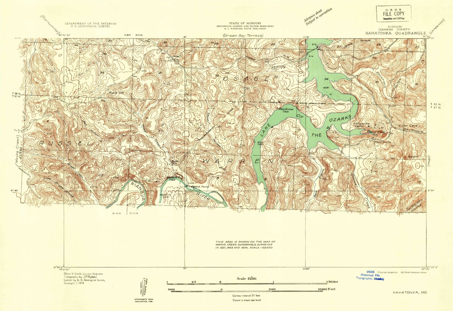
Classic USGS Hahatonka Missouri 7.5'x7.5' Topo Map
Couldn't load pickup availability
Historical USGS topographic quad map of Hahatonka in the state of Missouri. Typical map scale is 1:24,000, but may vary for certain years, if available. Print size: 24" x 27"
This quadrangle is in the following counties: Camden, Dallas, Laclede.
The map contains contour lines, roads, rivers, towns, and lakes. Printed on high-quality waterproof paper with UV fade-resistant inks, and shipped rolled.
Contains the following named places: Sugarcamp Hollow, Baker Cemetery, Bank Branch, Bear Hollow, Bell Hollow, Berry Bluff, Broadus Branch, Brush Creek, Brushy Creek, Byler School, Clark Hollow, Dry Hollow, Green Gables Lodge, Hahatonka Castle, Jarvis Hollow, Kirkland Bluff, Laughlin Cemetery, Little Brush Creek, Mash Hollow, Mead Camp, Morgan Hollow, Mozark Club, Niangua River, Pleasant Grove School, Racetrack Hollow, Red Arrow Club, Red Sink, Redcap Hollow, Roach, Roach School (historical), Spencer Creek, Stover Hollow, Stover Hollow, Tunnel Dam, Turkeypen Hollow, Turkeypen Hollow, Victory School (historical), Weaver Creek, White City, Woolsey Creek, Bank Branch School, Pleasant Hill School (historical), Pleasant Grove, Mills Spring, Sanderson Bluff, Nettles Bluff, Meades Bluff, Mosier Ridge, Mosier Spring, Darby Bluff, Baker Bluff, Stover Bluff, Rooffener Bluff, Devils Kitchen, Black Sink, Trout Glen Pool, Deers Leap Hill, Jim Hollow, Cave Hollow, Jackson Hollow, Hanes Flat, Moonshine Hollow, Hahatonka Natural Bridge, Green Gables (historical), Hahatonka, Rodger Ford (historical), Mills Cemetery, Dickerson Cemetery, Pleasant Grove Church, Penstock, Stone Ford, Webster Cemetery, Webster Grove Church, Lodge Cemetery, Ha Ha Tonka State Park, Nazarene Church, Lake Valley Country Club, Big Niangua Church, Union Electric Cemetery, Berry Bluff State Hunting Area, Lake Niangua, Niangua River Dam, Mid - County Fire Protection District Station 6, Roach Post Office


