MyTopo
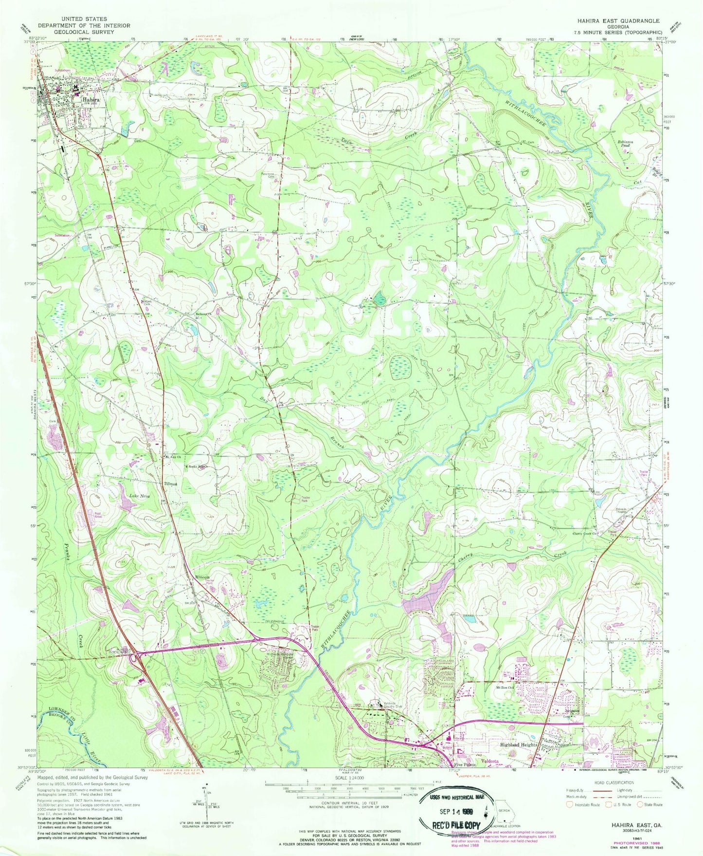
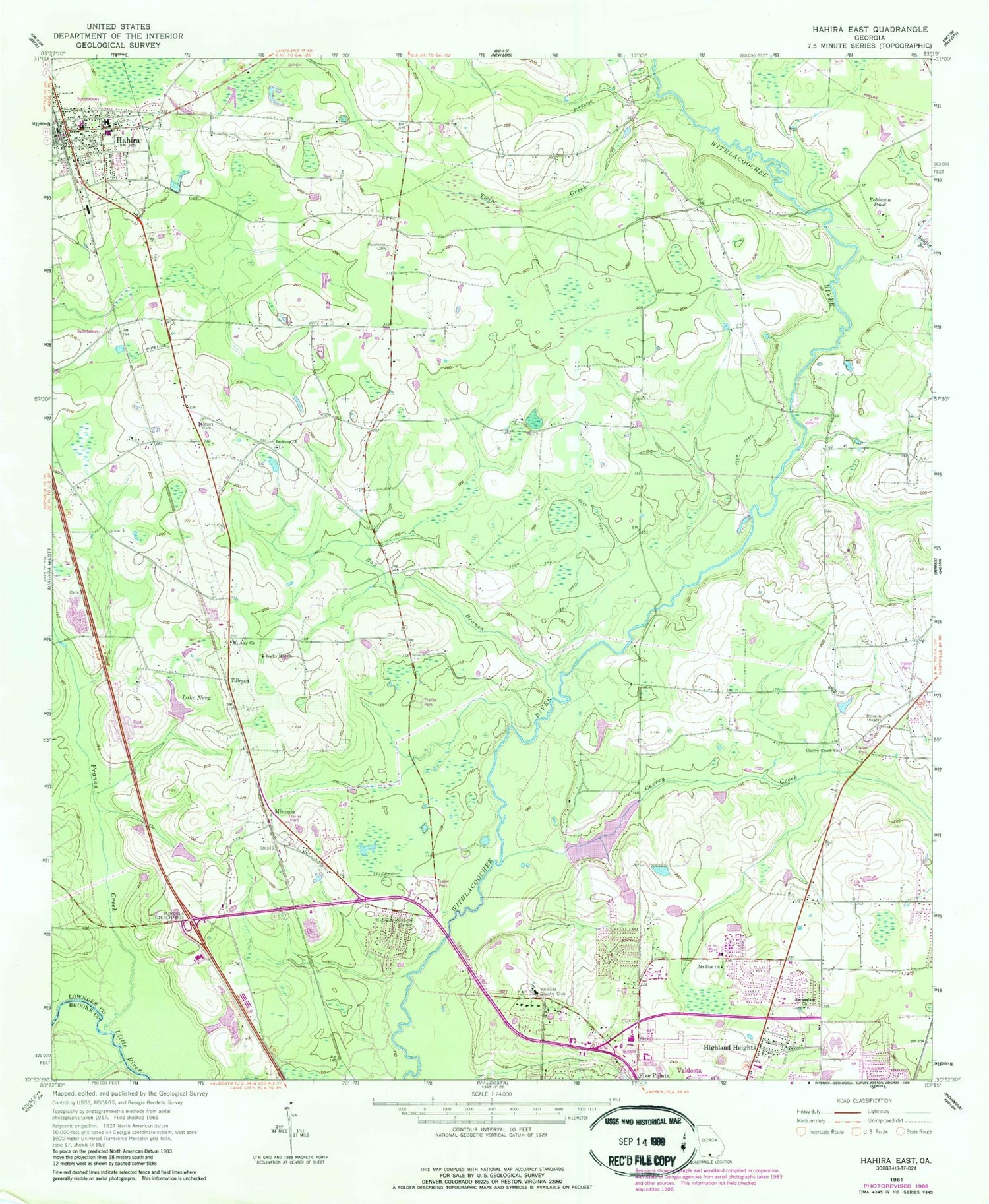
Classic USGS Hahira East Georgia 7.5'x7.5' Topo Map
Couldn't load pickup availability
Historical USGS topographic quad map of Hahira East in the state of Georgia. Map scale may vary for some years, but is generally around 1:24,000. Print size is approximately 24" x 27"
This quadrangle is in the following counties: Brooks, Lowndes.
The map contains contour lines, roads, rivers, towns, and lakes. Printed on high-quality waterproof paper with UV fade-resistant inks, and shipped rolled.
Contains the following named places: Barko Village, Bay Branch, Beatty Branch, Bethany Church, Cat Creek, Cherokee Plantation, Cherry Creek, Cherry Creek Church, Cherry Creek Hills, Cherry Lake, Cherry Lake Dam, Country Club Estates, Double Bridges, Eastwind, Five Points Shopping Center, Foxborough, Franklinville, Franks Creek, Hahira, Hahira Division, Hahira Elementary School, Hahira Middle School, Hahira Police Department, Hahira Post Office, Hahira Volunteer Fire Department, Highland Heights, Hodges Cemetery, Hodges Pond, Jerusalem Church, Lake Neva, Lowndes, Mineola, Mobile Home Estates, Mount Airy Church, Mount Moriah Church, Mount Zion Church, North Gate Manor Trailer Park, North Lowndes Volunteer Fire Department Station 4, North Lowndes Volunteer Fire Department Station 4A, North Valdosta Church, Northlake Golf and Country Club, Northside Valdosta Post Office, Northwood, Oak, Open Bible Christian School, Passmore - Lawson Cemetery, Peace Freewill Church, Riverview Memorial Garden, Robinson Pond, Rocky Hill Church, Schoer Estates, Skipper Bridge, Smith Hospital, Smith Northview Hospital, South Ree Springs, Tillman, Tillman Lake Dam, Twin Creek, Tyler Bridge, Tylers Pond, Valdosta Area Vocational Technical School, Valdosta Country Club, Valdosta Fire Department Station 5, Valdosta High School, Windsor Park, WMDE-AM (Remerton), ZIP Code: 31632


