MyTopo
Classic USGS Hale SE Michigan 7.5'x7.5' Topo Map
Regular price
$16.95
Regular price
Sale price
$16.95
Unit price
per
Couldn't load pickup availability
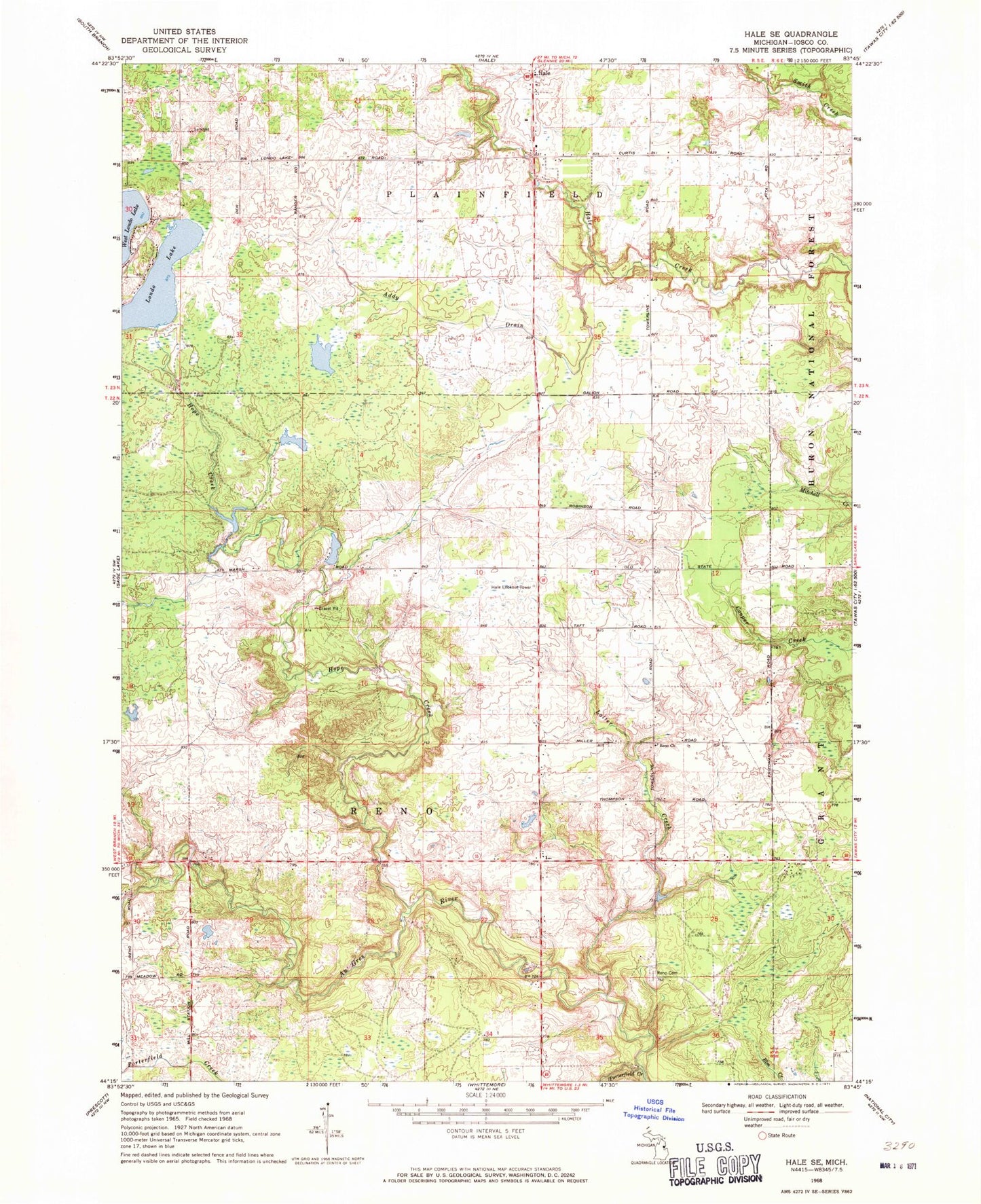
Historical USGS topographic quad map of Hale SE in the state of Michigan. Map scale may vary for some years, but is generally around 1:24,000. Print size is approximately 24" x 27"
This quadrangle is in the following counties: Iosco.
The map contains contour lines, roads, rivers, towns, and lakes. Printed on high-quality waterproof paper with UV fade-resistant inks, and shipped rolled.
Contains the following named places: Addy Drain, Field of Dreams Airport, Hale Lookout Tower, Hope Creek, Latter Creek, Londo Lake, Porterfield Creek, Reno Cemetery, Reno Church, Saint Paul's Lutheran Church, Siloam Post Office, The Farm Airport, Township of Reno, ZIP Codes: 48739, 48770