MyTopo
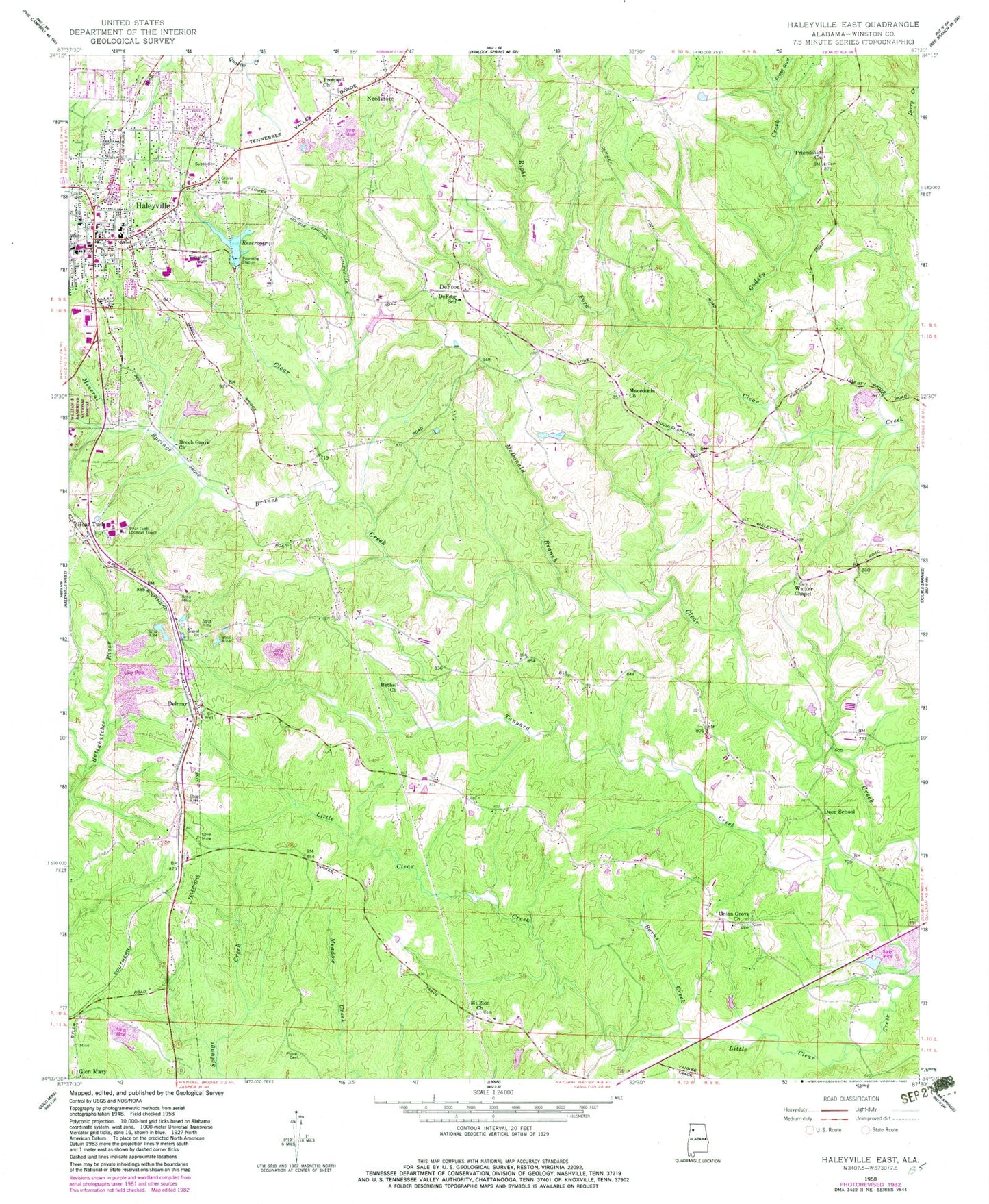
Classic USGS Haleyville East Alabama 7.5'x7.5' Topo Map
Couldn't load pickup availability
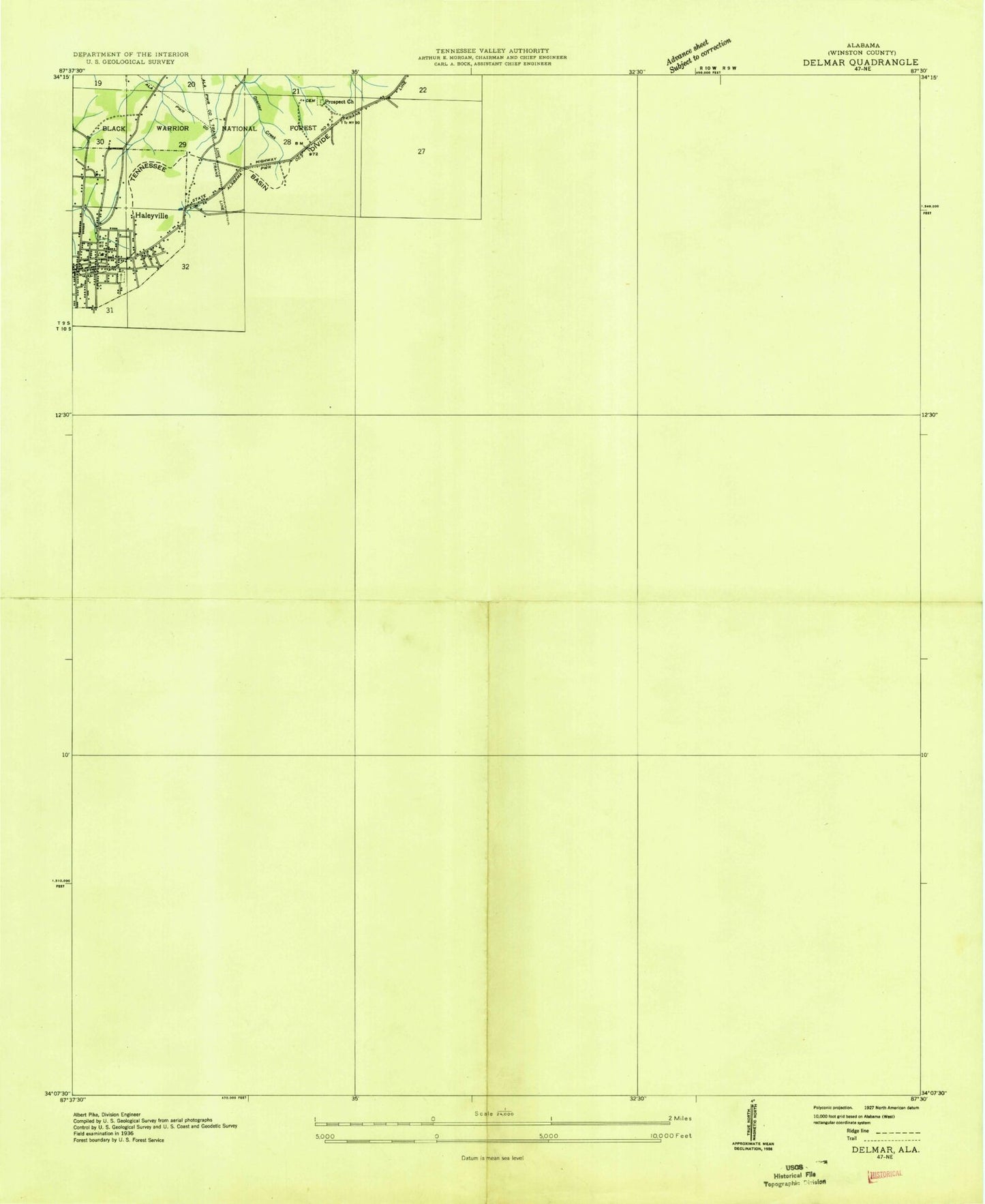
Historical USGS topographic quad map of Haleyville East in the state of Alabama. Map scale may vary for some years, but is generally around 1:24,000. Print size is approximately 24" x 27"
This quadrangle is in the following counties: Winston.
The map contains contour lines, roads, rivers, towns, and lakes. Printed on high-quality waterproof paper with UV fade-resistant inks, and shipped rolled.
Contains the following named places: Ark Post Office, Ayers Cemetery, Batts Nest, Beech Grove Church, Berry Creek, Berry School, Bethel, Bethel Church, Bethel Missionary Baptist Church Number 2 Cemetery, Biler Post Office, Biler School, Boar Tush, Boar Tush Church Cemetery, Boar Tush Lookout Tower, Boartusk Post Office, Booger Tree, Botush Church, Bright Cemetery, Burns Creek, Central Grammer School, City of Haleyville, Clark Cemetery, Davis Family Cemetery North, Davis Family Cemetery South, Deer Post Office, Deer School, DeFoor, Defoor Post Office, DeFoor School, Delmar, Delmar Church, Delmar Fire Department, Delmar Mine, Delmar Post Office, Delmar School, Dodd Cemetery, Dodds Mill, Elliott Family Cemetery, Elliotts Lake, Elliotts Lake Dam, First Baptist Church, First Methodist Episcopal Church, Friendship Church, Friendship Primitive Baptist Church Cemetery, Frost Gulf, Godsey Creek, Godsey School, Haleyville, Haleyville Central Grammar School, Haleyville Christian Academy, Haleyville Church of Christ, Haleyville City Lake, Haleyville City Lake Dam, Haleyville Division, Haleyville Elementary School, Haleyville High School, Haleyville Middle School, Haleyville Police Department, Haleyville Post Office, Haleyville Presbyterian Church, Haleyville School, Haleyville Technical Center, Highlands School, Hillcrest Cemetery, J O Haynes High School, Lakeland Community Hospital, League School, Macedonia Church, Macedonia Missionary Baptist Church Cemetery, McDonald Branch, McNutt School, Miller School, Millers Stand, Mineral Springs Branch, Missionary Church, Mount Zion Baptist Church of Christ Cemetery, Mount Zion Church, Needmore, New Harmony School, New Prospect Baptist Church Cemetery, New Prospect Church, New Prospect School, Old Lovett Cemetery, Poole Cemetery, Prospect Church, Riddle School, Rocky Ravine Creek, Ryefield Cemetery, Samples School, Scoggins Bottoms, Tanyard Creek, Taylor Historical Cemetery, Tesneys Mill, Theo League Lake, Theo League Lake Dam, Thorn Hill Post Office, Union Grove Church, Union Grove Missionary Baptist Church Cemetery, W K Wilson Lake, W K Wilson Lake Dam, Walker Chapel, Walker Chapel Cemetery, Ward Mill School, ZIP Code: 35565


