MyTopo
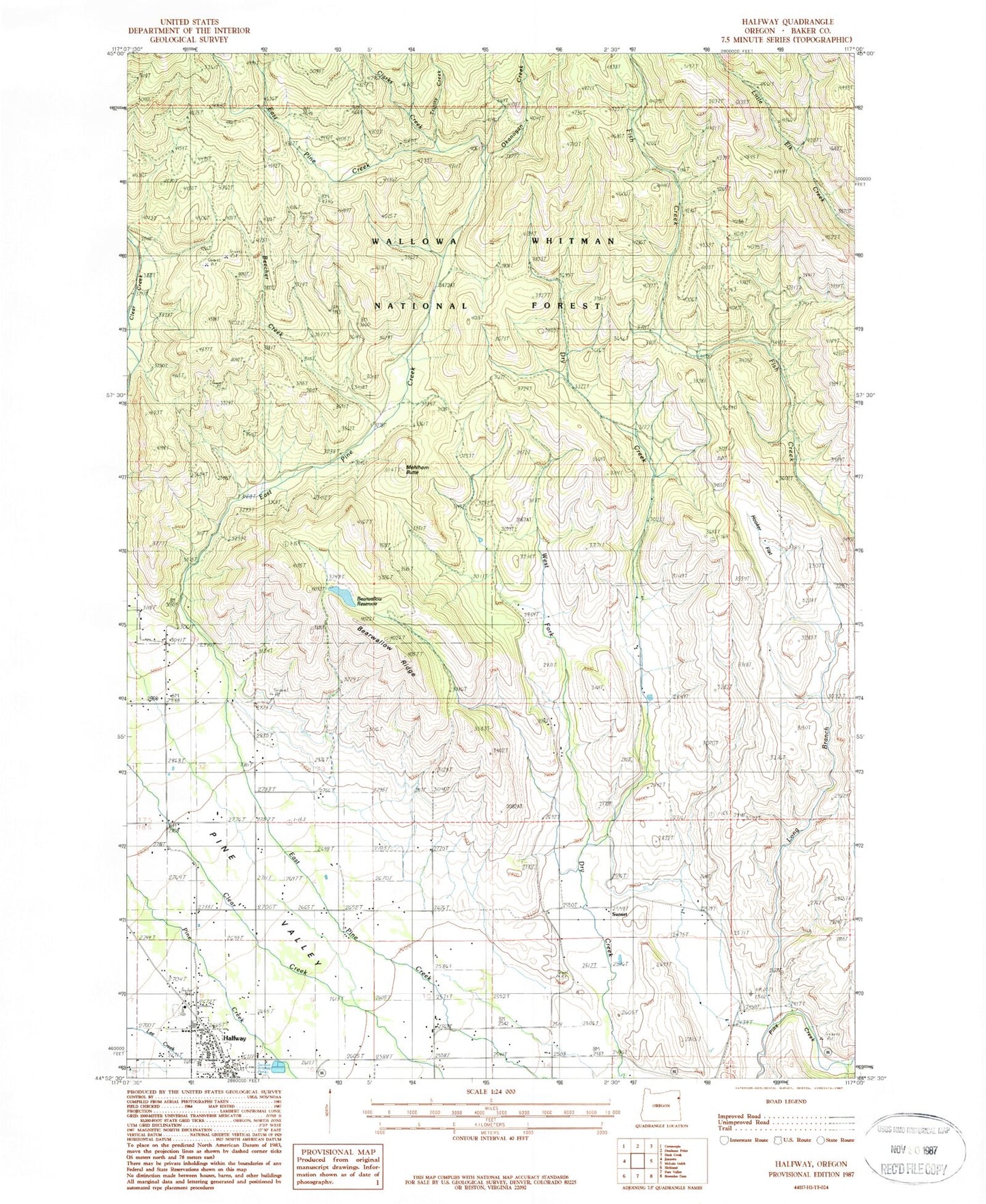
Classic USGS Halfway Oregon 7.5'x7.5' Topo Map
Couldn't load pickup availability
Historical USGS topographic quad map of Halfway in the state of Oregon. Map scale may vary for some years, but is generally around 1:24,000. Print size is approximately 24" x 27"
This quadrangle is in the following counties: Baker.
The map contains contour lines, roads, rivers, towns, and lakes. Printed on high-quality waterproof paper with UV fade-resistant inks, and shipped rolled.
Contains the following named places: Baker County Fairgrounds and Rodeo Grounds, Baker County Library Halfway Branch Library, Bearwallow Gulch, Bearwallow Reservoir, Bearwallow Ridge, Beecher Creek, City of Halfway, Clarks Creek, Halfway, Halfway City Hall, Halfway Division, Halfway Elementary School, Halfway Oxbow Ambulance Service, Halfway Post Office, Halfway Public Works Department Office, Halfway Sewage Treatment Lagoons, Hattie Wheelock Grave, Heritage Square, Hooker Flat, Long Branch, Mehlhorn Butte, Mehlhorn Mill, Okanogan Creek, Oliver Homestead, Pine Eagle Elementary, Pine Eagle High School, Pine Haven Cemetery, Pine Valley Community Museum, Pine Valley Rural Fire Protection District, R K Moseley Dam, Sunset, Sunset Post Office, Trinity Creek, Union High School, West Fork Dry Creek


