MyTopo
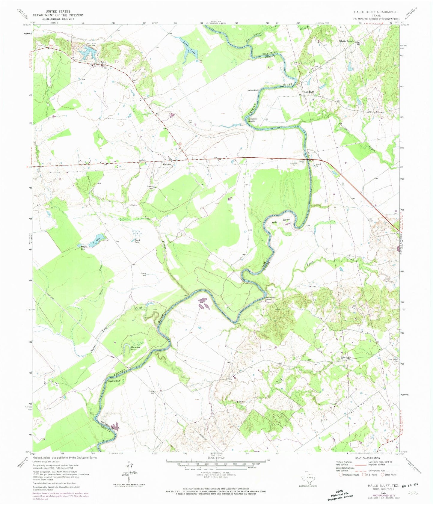
Classic USGS Halls Bluff Texas 7.5'x7.5' Topo Map
Couldn't load pickup availability
Historical USGS topographic quad map of Halls Bluff in the state of Texas. Map scale may vary for some years, but is generally around 1:24,000. Print size is approximately 24" x 27"
This quadrangle is in the following counties: Houston, Leon.
The map contains contour lines, roads, rivers, towns, and lakes. Printed on high-quality waterproof paper with UV fade-resistant inks, and shipped rolled.
Contains the following named places: A Lake, Beaver Dam Creek, Big Bend, Big Elkhart Creek, Black Lake, Boseman Blacksmith, Boseman Gris Mill, Brookfield Bluff, Busch Slough, Campbell Cemetery, Caroline Williams Farm, Cedar Creek, Colman Wagner Farm, Dixon Creek, Double H Airport, Dutch Hill, Halls Bluff, Halls Bluff Landing, Halls Bluff Post Office, Halls Bluff Town, Hayes Lake, Horseshoe Lake, Hurricane Bayou, Iron Bridge, Joe Houston Home, Kickapoo Rapids, Knight Creek, Long Plantation, Malvern, Moore Branch, Mose Owens Farm, Mose Owens Shinge Mill, Mose Owens Syrup Mill, Peter Woods Farm, Pine Branch, Pleasant Grove Methodist Church, Porter Springs Cemetery, Prairie Branch, Rendal Saw Mill, Rex C Cauble Lake, Rex C Cauble Lake Dam, Salt Branch, Salt Branch School, Smith Cemetery, Trinity River Loading and Landing, Tubb Lake, Union Chapel Baptist Church, Union Prairie Church, Wheeler Springs, Wiggins Bluff, Wilmore Farm, Woods Gin, Yellow Bluff