MyTopo
Classic USGS Hamaker Mountain Oregon 7.5'x7.5' Topo Map
Regular price
$16.95
Regular price
Sale price
$16.95
Unit price
per
Couldn't load pickup availability
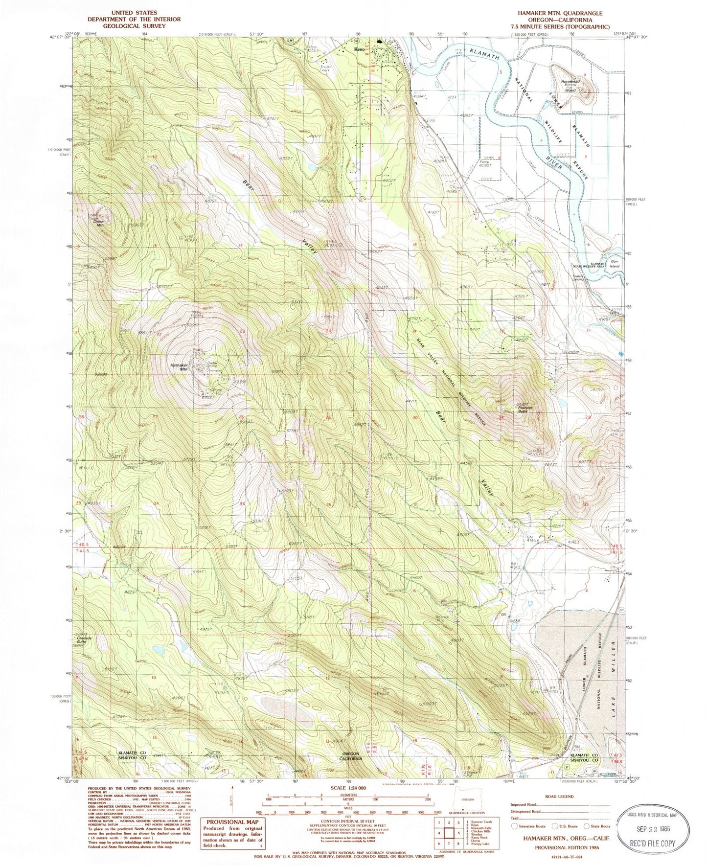
Historical USGS topographic quad map of Hamaker Mountain in the state of Oregon. Map scale may vary for some years, but is generally around 1:24,000. Print size is approximately 24" x 27"
This quadrangle is in the following counties: Klamath, Siskiyou.
The map contains contour lines, roads, rivers, towns, and lakes. Printed on high-quality waterproof paper with UV fade-resistant inks, and shipped rolled.
Contains the following named places: Bear Valley, Bear Valley National Wildlife Refuge, Calor, Chase Mountain, Gorr Island, Hamaker Mountain, Horsehead Island, Ivan, Ivan Post Office, Keno Cemetery, Keno Elementary School, Pearson Butte, Teeters Landing