MyTopo
Classic USGS Hamburg California 7.5'x7.5' Topo Map
Couldn't load pickup availability
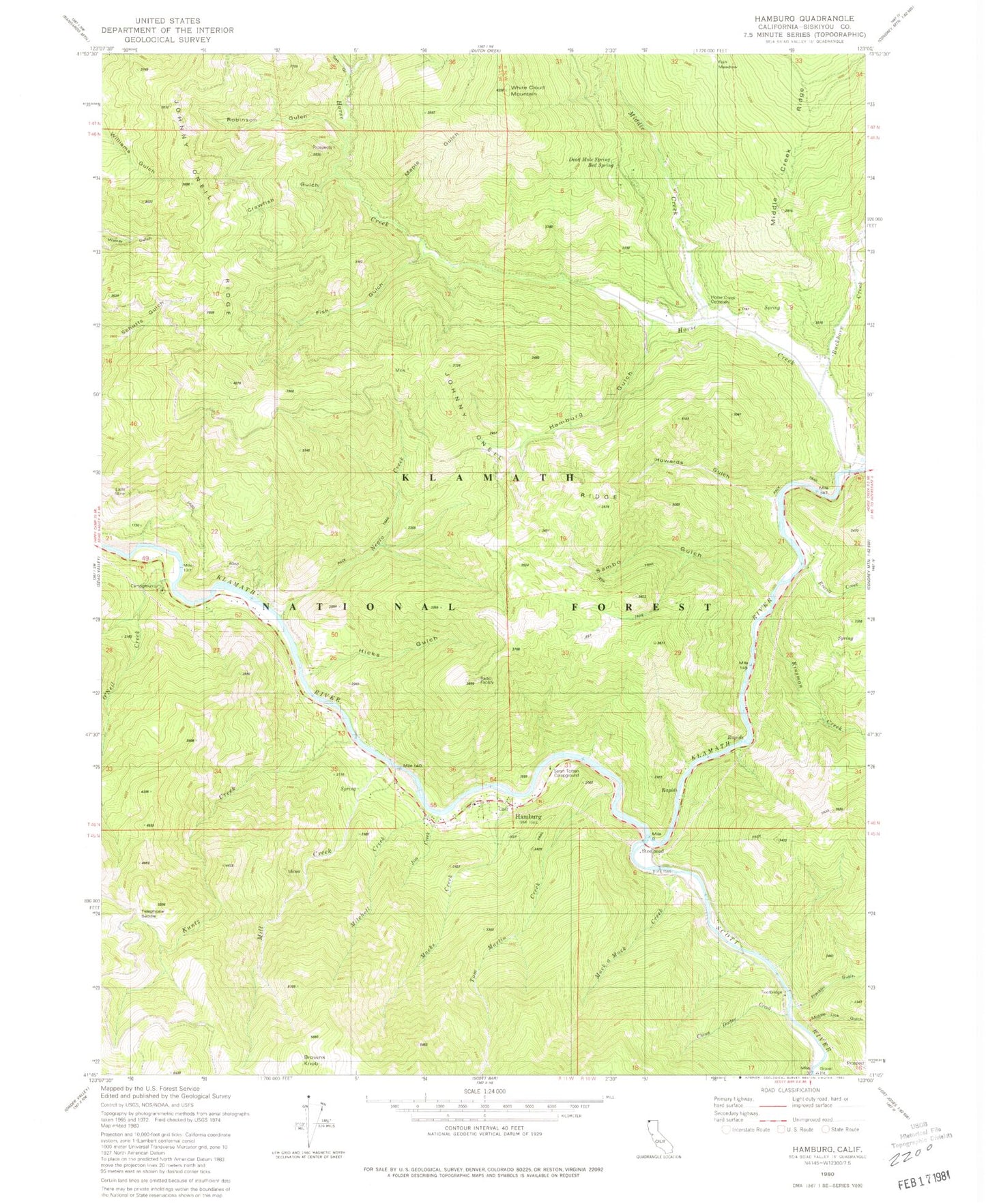
Historical USGS topographic quad map of Hamburg in the state of California. Map scale may vary for some years, but is generally around 1:24,000. Print size is approximately 24" x 27"
This quadrangle is in the following counties: Siskiyou.
The map contains contour lines, roads, rivers, towns, and lakes. Printed on high-quality waterproof paper with UV fade-resistant inks, and shipped rolled.
Contains the following named places: Blue Heron River Access, Browns Knob, Buckhorn Creek, China Doctor Creek, Crawfish Gulch, Dead Mole Spring, Everill Creek, Fish Gulch, Fish Meadow, Franklin Gulch, Hamburg, Hamburg Cemetery, Hamburg Gulch, Hicks Gulch, Horse Creek, Horse Creek Cemetery, Horse Creek School, Howards Gulch, Jim Creek, Johnny O'Neil Ridge, Kinsman Creek, Kuntz Creek, Ladd Mine, Macks Creek, Maple Gulch, Middle Creek, Middle Lick Gulch, Mill Creek, Mitchell Creek, Muck-a-Muck Creek, Negro Creek, O'Neil Creek, O'Neil Creek Campground, Red Spring, Robinson Gulch, Salt Gulch, Sambo Gulch, Sarah Totten Campground, Scott River, Steelhead, Telephone Saddle, Tom Martin Creek, White Cloud Mountain


