MyTopo
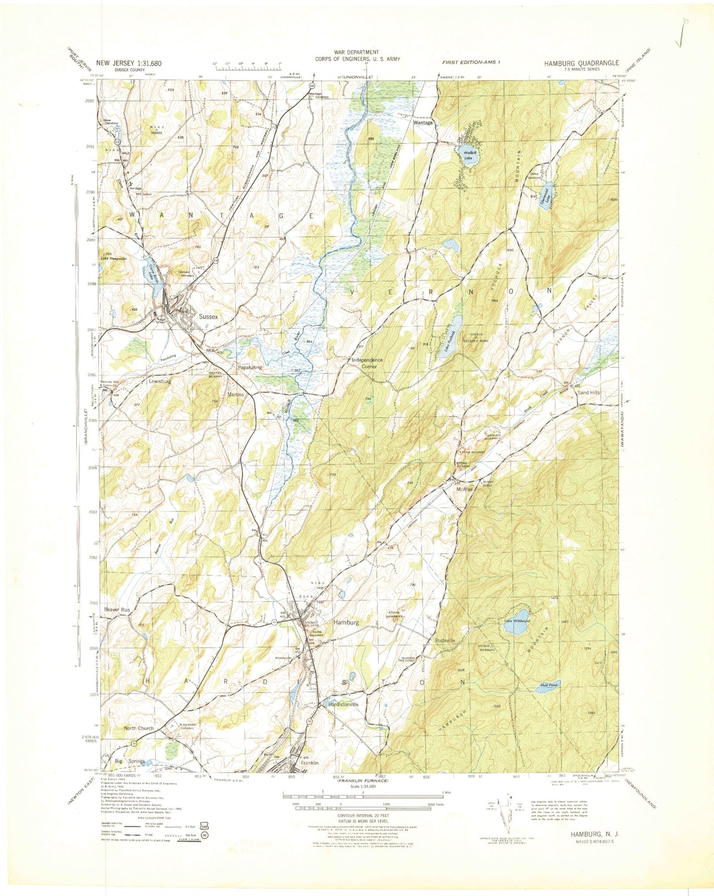
Classic USGS Hamburg New Jersey 7.5'x7.5' Topo Map
Couldn't load pickup availability
Historical USGS topographic quad map of Hamburg in the state of New Jersey. Typical map scale is 1:24,000, but may vary for certain years, if available. Print size: 24" x 27"
This quadrangle is in the following counties: Sussex.
The map contains contour lines, roads, rivers, towns, and lakes. Printed on high-quality waterproof paper with UV fade-resistant inks, and shipped rolled.
Contains the following named places: Beaver Run, Beaver Run, Big Springs, Camp Glenwood, Clove Acres Lake, Clove Brook, Old Clove Church Cemetery, Deckertown Cemetery, Fairview Cemetery, Glenwood Lake, Hamburg, Hamburg Mountains, Hardistonville, Hardyston Cemetery, Immaculate Conception Cemetery, Independence Corner, Lewisburg, Martins, McAfee, Mud Pond, North Church, Papakating Creek, Pochuck Mountain, Lake Pochung, Quarryville Brook, Rudeville, Rudeville School, Sand Hills, Sussex, Union Cemetery, Wallkill Lake, Wantage, Wantage Cemetery, Lake Wildwood, Papakating, Hamburg Mountain Wildlife Management Area, Pleasant Valley Lake, Panorama Lake, Clove River Dam, Glenwood Lake Dam, Lake Pochung Dam, Lake Wildwood Dam, Mud Pond Dam, WSUS-FM (Franklin), Sussex Airport, Great Gorge Country Club Incorporated Heliport, Borough of Hamburg, Borough of Sussex, Neepaulakating Creek, Vernon Center Census Designated Place, Pochuck Valley Fire Department, Hamburg Fire Department, McAfee Fire Department, Sussex Fire Department, Hardyston Township Fire Department Company 2, Saint Clares Hospital, Sussex First Aid Squad, Glenwood Pochuck Volunteer Ambulance Corps, Wantage Township First Aid Squad, Hamburg Police Department, Hardyston Police Department, Wallkill River National Wildlife Refuge, McAfee Post Office, Sussex Post Office, Hamburg Post Office


