MyTopo
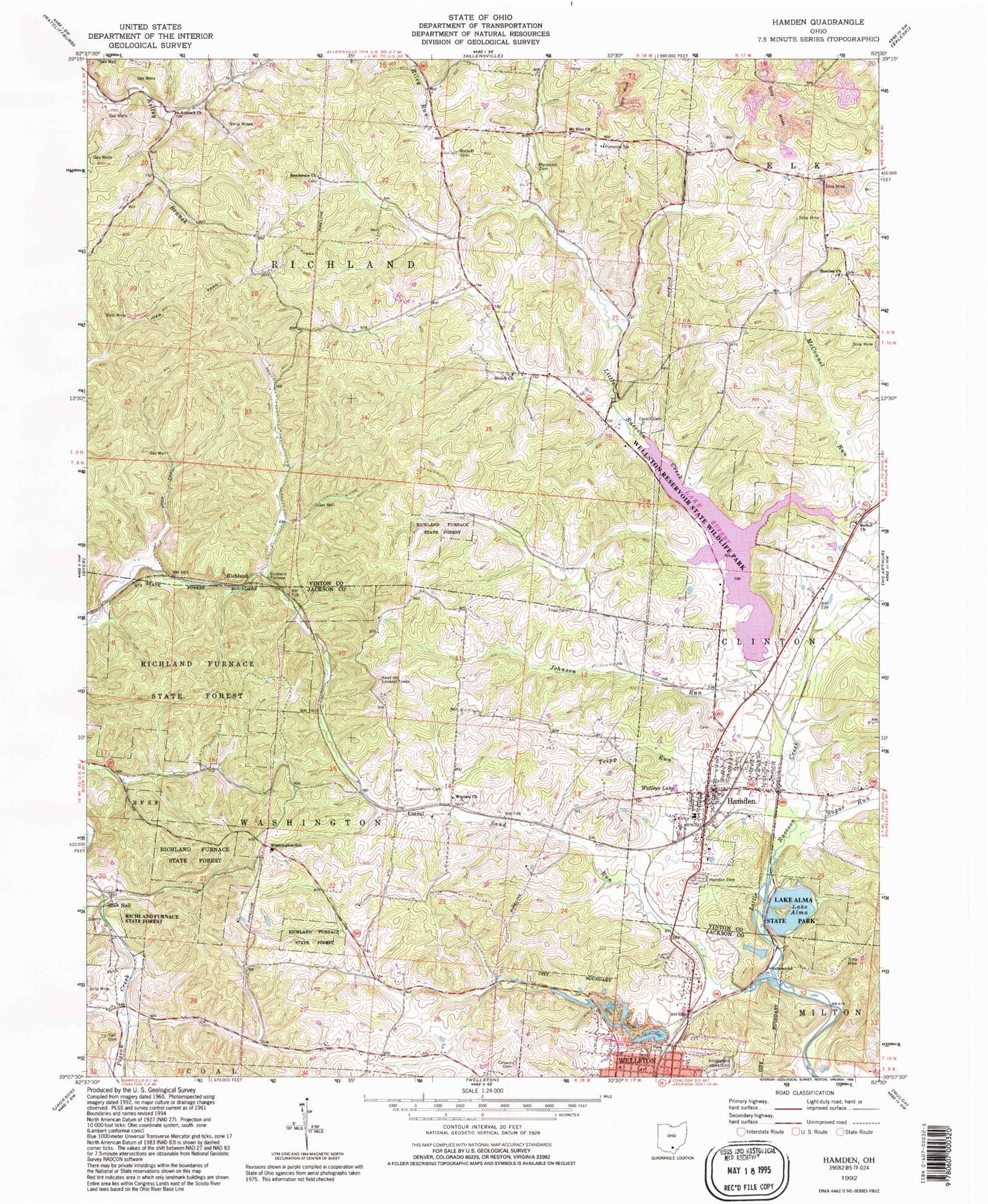
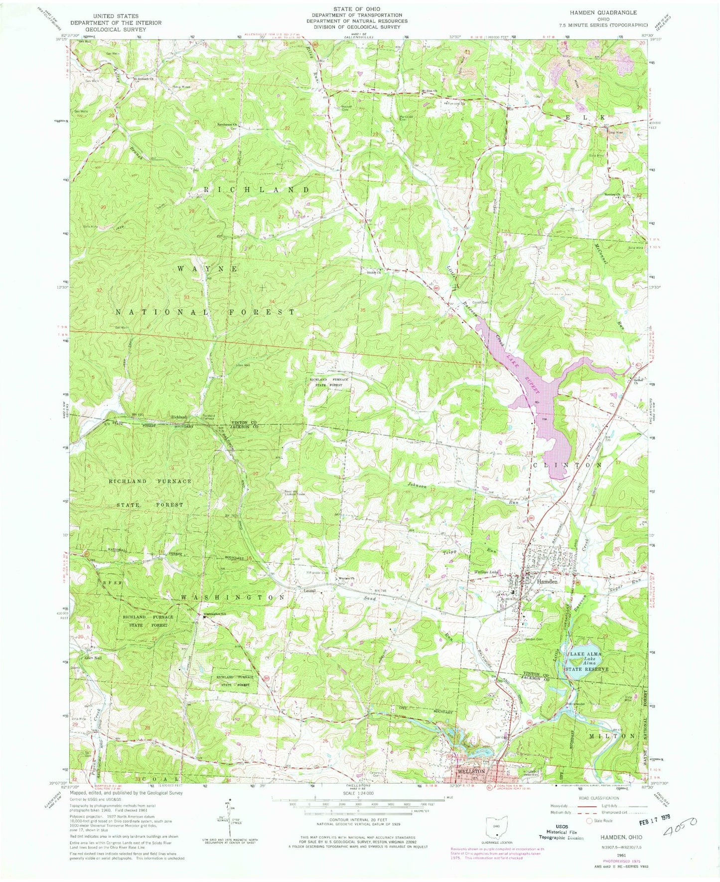
Classic USGS Hamden Ohio 7.5'x7.5' Topo Map
Couldn't load pickup availability
Historical USGS topographic quad map of Hamden in the state of Ohio. Typical map scale is 1:24,000, but may vary for certain years, if available. Print size: 24" x 27"
This quadrangle is in the following counties: Jackson, Vinton.
The map contains contour lines, roads, rivers, towns, and lakes. Printed on high-quality waterproof paper with UV fade-resistant inks, and shipped rolled.
Contains the following named places: Antioch Church, Bentley Church, Bethel Church, Calvary Cemetery, Cassill Cemetery, Franklin Cemetery, Hamden Cemetery, Lake Alma State Park, Martindill Cemetery, McConnel Run, Mount Zion Church, Randerson Church, Richland Furnace State Forest, Ridgewood Cemetery, Sell Cemetery, Shiloh Church, Sugar Run, Tripp Run, Walleye Lake, Washington School, Winters Church, Wyckoff Cemetery, Tripp Cemetery, Hamden Elementary School, Tripp School (historical), Sand Run School (historical), Clayton School (historical), Primrose School (historical), Haburn School (historical), Hawk School (historical), Darby School (historical), Mount Zion School (historical), Wyckoff Crossroads, Dolly School (historical), Jackman School (historical), Kelley School (historical), Glen Nell, Lesmil, Richland, Richland Furnace, Hamden, Johnson Run, Sand Run, Lake Rupert Dam, Lake Rupert, Lake Alma Dam, Lake Alma, Wellston Reservoir Dam, Wellston Reservoir, Lankamer Lake Dam, Lankamer Lake, Reed Hill Lookout Tower, Grant Lifeflight 2 Heliport, Township of Washington, Township of Richland, Faith Baptist Church, Reorganized Church of Jesus Christ of Latter Day Saints, Hamden United Methodist Church, Bethel Cemetery, Mount Zion Cemetery, Old Hamden Cemetery, Randerson Cemetery, Shiloh Cemetery, Acorn Trail, Old Pine Trail, Wellston Reservoir State Wildlife Park, Village of Hamden, Hamden Volunteer Fire Department, Wellston Fire Department Station 1, Hamden Post Office


