MyTopo
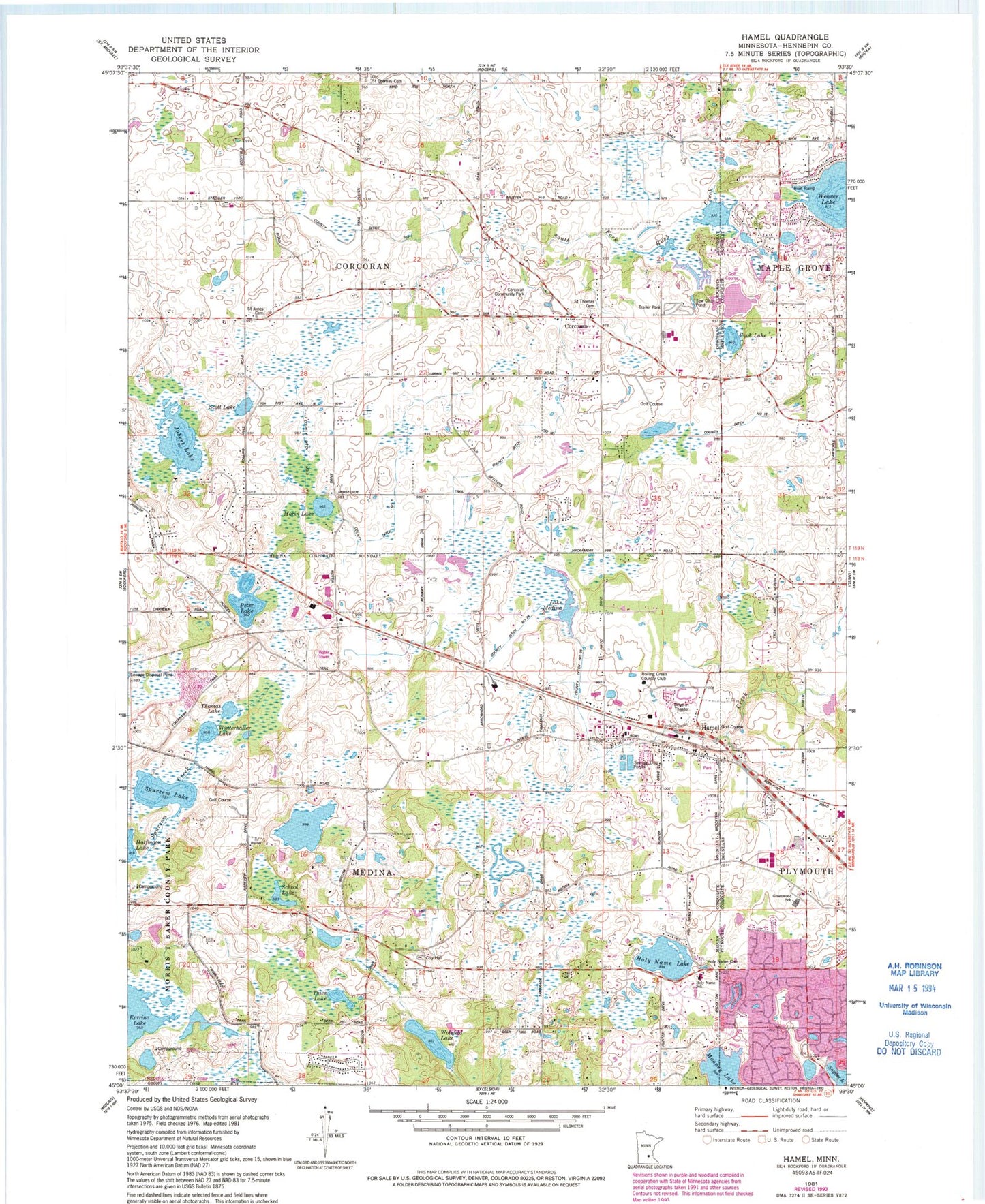
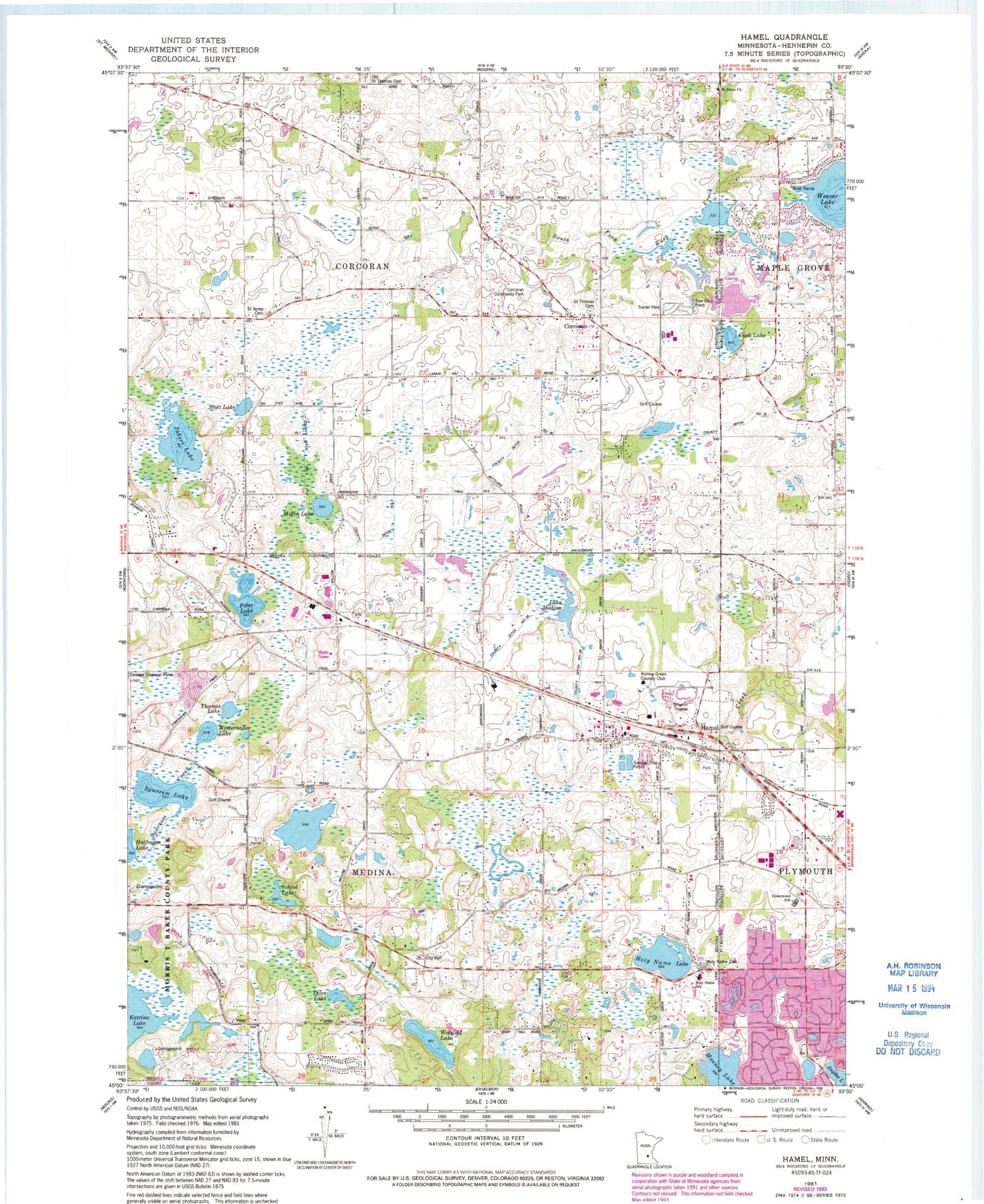
Classic USGS Hamel Minnesota 7.5'x7.5' Topo Map
Couldn't load pickup availability
Historical USGS topographic quad map of Hamel in the state of Minnesota. Map scale may vary for some years, but is generally around 1:24,000. Print size is approximately 24" x 27"
This quadrangle is in the following counties: Hennepin.
The map contains contour lines, roads, rivers, towns, and lakes. Printed on high-quality waterproof paper with UV fade-resistant inks, and shipped rolled.
Contains the following named places: B and V Golf Course, Baker National Golf Course, City of Corcoran, City of Medina, Cook Lake, Corcoran, Corcoran City Hall, Corcoran Community Park, Corcoran Police Department, Corcoran Post Office, County Ditch Number Seven, County Ditch Number Sixteen, County Ditch Number Three, County Ditch Number Twenty-six, Ditter, Ditter Post Office, Dupont, Dupont Post Office, Elm Creek Golf Links, Greenwood Elementary School, Greenwood School, Hamel, Hamel Post Office, Hamel Volunteer Fire Department, Hennepin County Fairgrounds, Holy Name Cemetery, Holy Name Lake, Holy Name of Jesus School, Jubert Lake, Kimberly Lane Elementary School, Kral's Personal Use Landing Field, Kreatz Lake, Lake Medina, Leighton, Leighton Post Office, Maple Grove Fire Department Station 4, Maple Grove Fire Department Station 5, Medina, Medina Police Department, Mooney Lake, Morin Lake, Morris T Baker County Park, North Memorial Ambulance Service Corcoran, Old Saint Thomas Cemetery, Peter Lake, Rolling Green Country Club, Rush Creek Elementary School, Rush Creek Golf Course, Saint Anne's Cemetery, Saint Janes Cemetery, Saint John's Evangelical Lutheran Cemetery, Saint John's Lutheran School, Saint Thomas Cemetery, School Lake, School Number 134, School Number 64, School Number 65, Scott Lake, Shamrock Golf Course, Snyder Lake, Spurzem Lake, Thies Lake, Thomas Lake, Wayzata High School, WCCO-AM (Minneapolis), Weaver Lake, Winterhalter Lake, Wolsfeld Lake, ZIP Code: 55340


