MyTopo
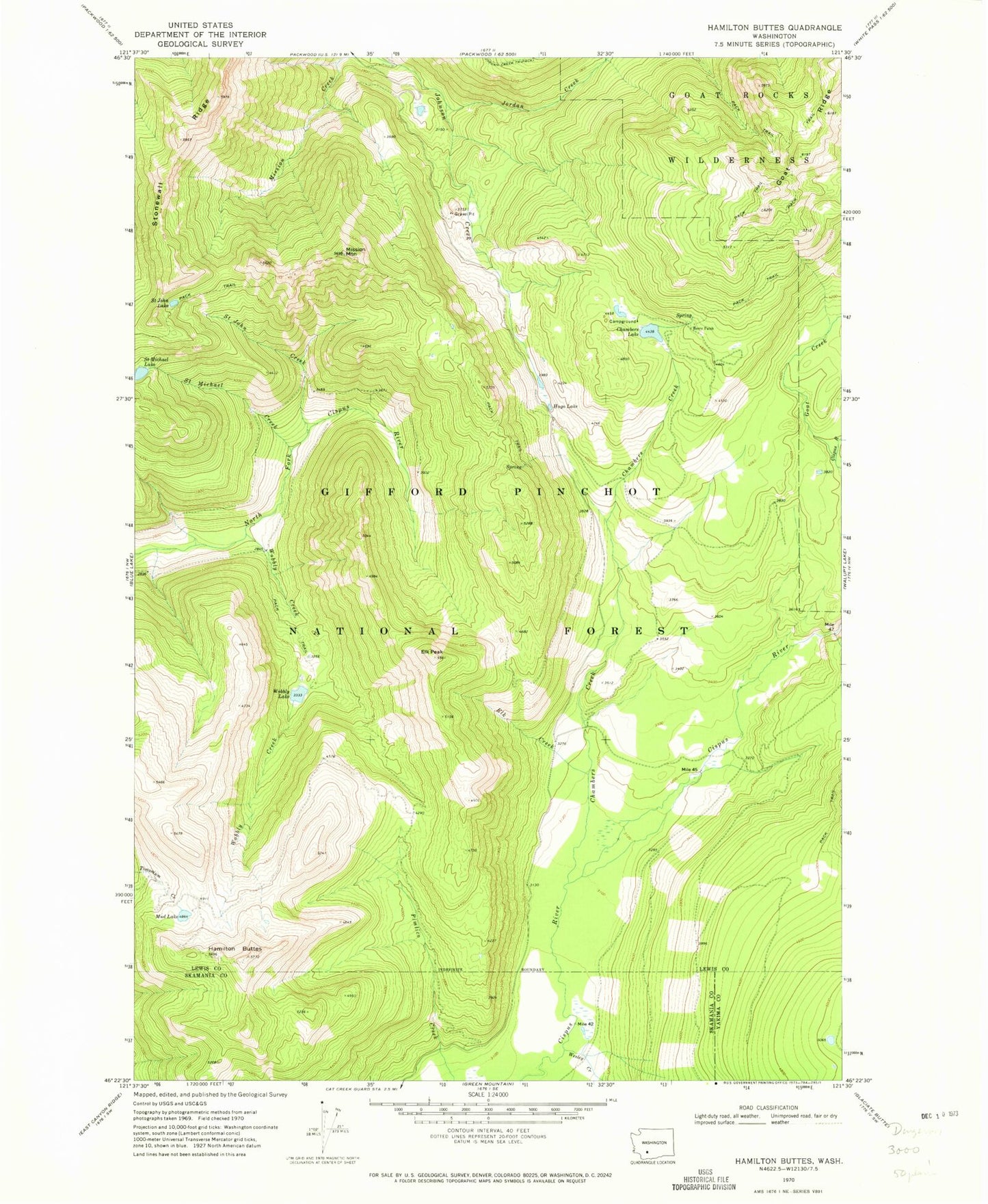
Classic USGS Hamilton Buttes Washington 7.5'x7.5' Topo Map
Couldn't load pickup availability
Historical USGS topographic quad map of Hamilton Buttes in the state of Washington. Typical map scale is 1:24,000, but may vary for certain years, if available. Print size: 24" x 27"
This quadrangle is in the following counties: Lewis, Skamania, Yakima.
The map contains contour lines, roads, rivers, towns, and lakes. Printed on high-quality waterproof paper with UV fade-resistant inks, and shipped rolled.
Contains the following named places: Berry Patch, Chambers Lake, Cispus River, Elk Creek, Elk Peak, Goat Creek, Hamilton Buttes, Hugo Lake, Jordan Creek, Mission Mountain, Mud Lake, Saint John Creek, Saint John Lake, Saint Michael Creek, Stonewall Ridge, Wesley Creek, Wobbly Creek, Wobbly Lake, Chambers Lake Campground, Goat Ridge Lookout, Sanctuary Arch, Wright Lake