MyTopo
Classic USGS Hamilton Dome Wyoming 7.5'x7.5' Topo Map
Regular price
$16.95
Regular price
Sale price
$16.95
Unit price
per
Couldn't load pickup availability
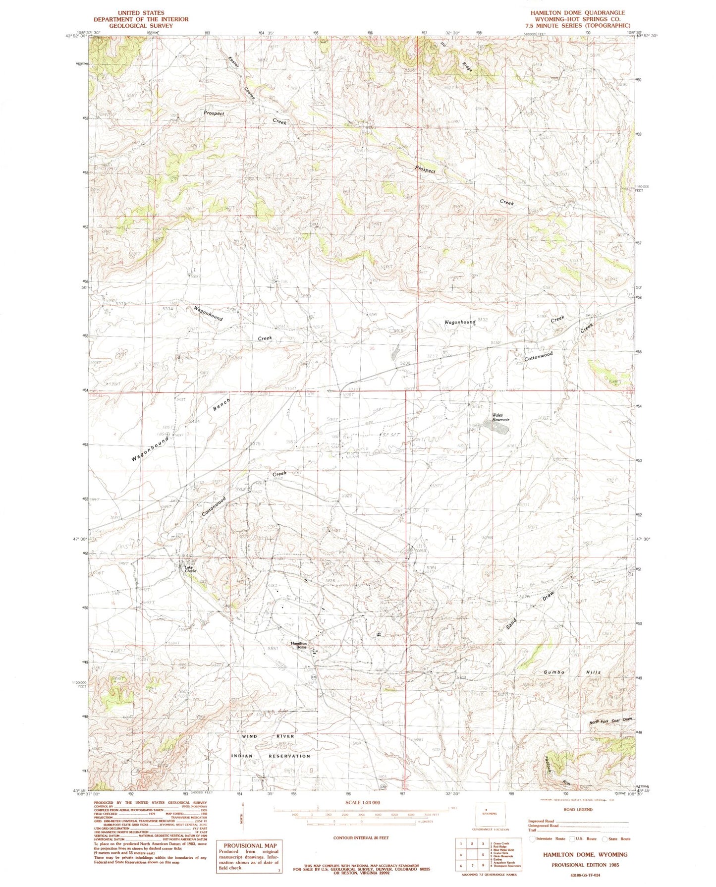
Historical USGS topographic quad map of Hamilton Dome in the state of Wyoming. Map scale may vary for some years, but is generally around 1:24,000. Print size is approximately 24" x 27"
This quadrangle is in the following counties: Hot Springs.
The map contains contour lines, roads, rivers, towns, and lakes. Printed on high-quality waterproof paper with UV fade-resistant inks, and shipped rolled.
Contains the following named places: Cottonwood Number One Mine, Gumbo Hills, Haines Ranch, Hamilton Dome, Legend Rocks, Owl Creek, Owl Creek Census Designated Place, Wagonhound Bench, Wagonhound Creek, Wales Dam, Wales Ranch, Wales Reservoir