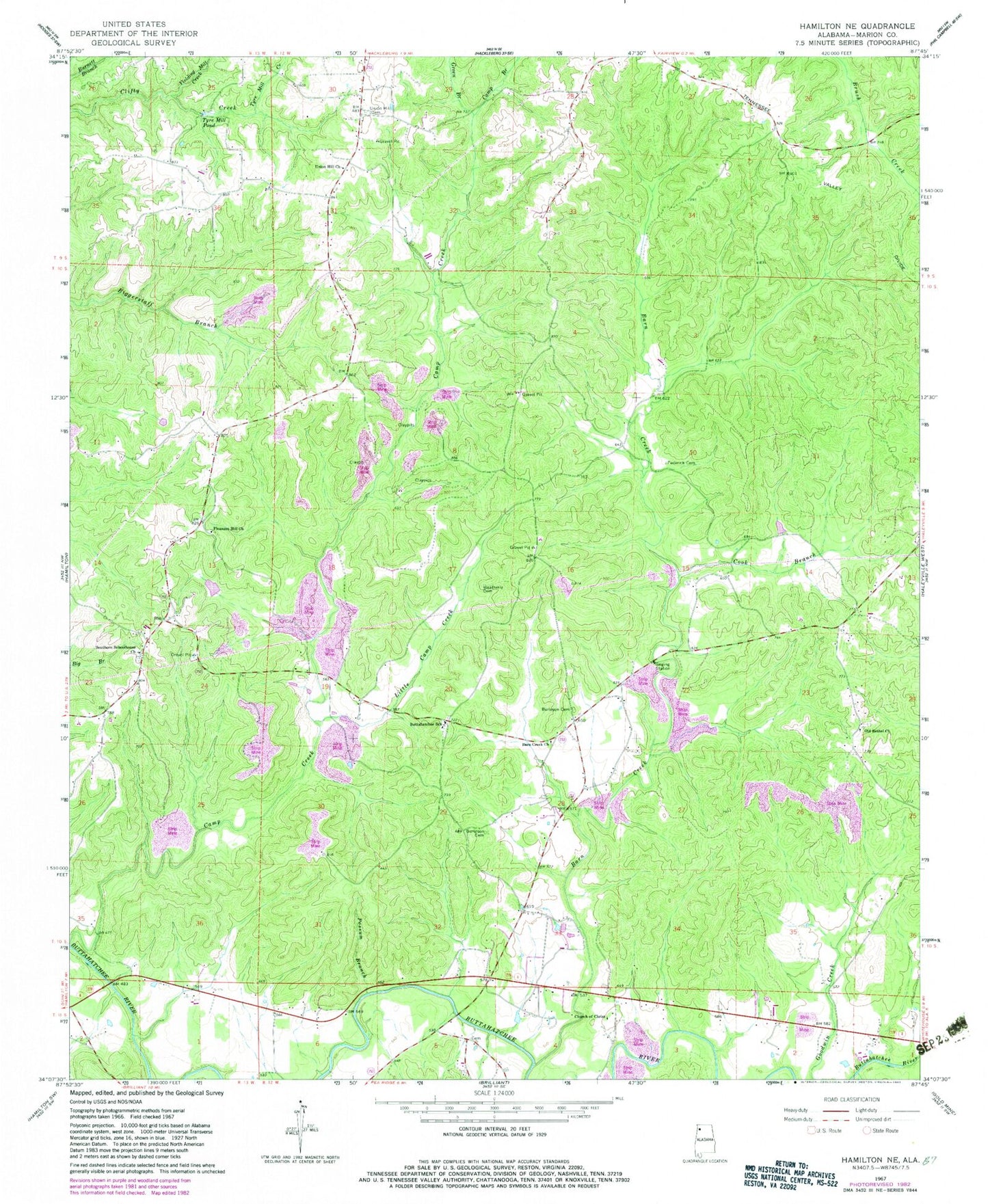
MyTopo
Classic USGS Hamilton NE Alabama 7.5'x7.5' Topo Map
Couldn't load pickup availability
Historical USGS topographic quad map of Hamilton NE in the state of Alabama. Map scale may vary for some years, but is generally around 1:24,000. Print size is approximately 24" x 27"
This quadrangle is in the following counties: Marion.
The map contains contour lines, roads, rivers, towns, and lakes. Printed on high-quality waterproof paper with UV fade-resistant inks, and shipped rolled.
Contains the following named places: Armstrong Cemetery, Barn Creek, Barn Creek Church, Brinn, Burelson Church, Burleson Cemetery, Buttahatchee Junior High School, Camp Branch, Church of Christ, Cook Branch, Federick Cemetery, Green Branch, Green Cemetery, Little Camp Creek, Old Bethel Cemetery, Old Bethel Missionary Baptist Church, Pleasant Hill Church, Possum Branch, Southern Schoolhouse Church, Sullens Cemetery, Sullins Cemetery, Tyre Mill Creek, Tyre Mill Pond, Union Hill Cemetery, Union Hill Freewill Baptist Church, Weatherly Cemetery, Yielding Mill Creek, ZIP Code: 35543