MyTopo
Classic USGS Hamilton SW Alabama 7.5'x7.5' Topo Map
Couldn't load pickup availability
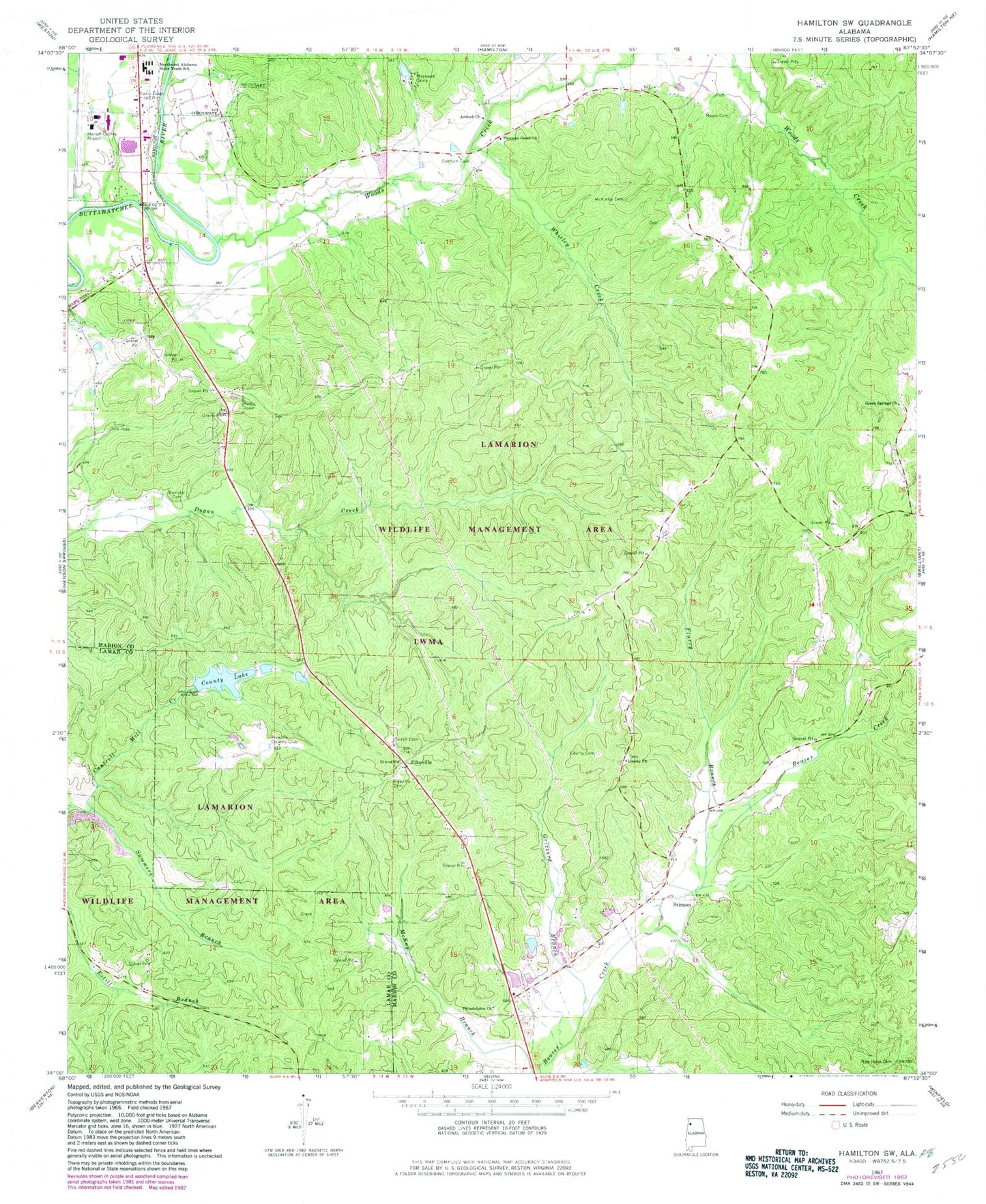
Historical USGS topographic quad map of Hamilton SW in the state of Alabama. Map scale may vary for some years, but is generally around 1:24,000. Print size is approximately 24" x 27"
This quadrangle is in the following counties: Lamar, Marion.
The map contains contour lines, roads, rivers, towns, and lakes. Printed on high-quality waterproof paper with UV fade-resistant inks, and shipped rolled.
Contains the following named places: Alabama Department of Corrections, Alabama Highway Patrol, Antioch Church, Banister Cemetery, County Lake, Donham Cemetery, Dug Hill Gas Field, Flurry Branch, Flurry Cemetery, Green Springs Cemetery, Green Springs Missionary Baptist Church, Grizzard Branch, Hamilton Church of Christ, Hamilton Gas Field, Lamarion Wildlife Management Area, Liberty Cemetery, Liberty Freewill Baptist Church, Marion County Public Lake Dam, Marion County Sheriff's Office, Marion County-Rankin Fite Airport, Maywood Camp, McKinley Cemetery, Moses Cemetery, New Hope Cemetery, New Hope Church, Northwest Alabama State Trade School, Philadelphia Cemetery, Philadelphia United Methodist Church, Pikeville, Pikeville Cemetery, Pikeville Country Club, Pleasant Grove Baptist Church, Pleasant Grove Cemetery, Stinson, Summers Branch, Terrell Cemetery, WERH-AM (Hamilton), WERH-FM (Hamilton), Whitley Creek, Williams Cemetery, Woods Creek, Woods Creek Gas Field


