MyTopo
Classic USGS Hamilton West Michigan 7.5'x7.5' Topo Map
Couldn't load pickup availability
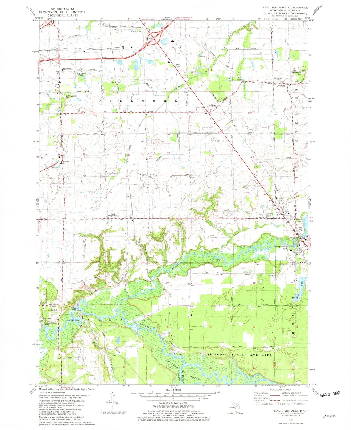
Historical USGS topographic quad map of Hamilton West in the state of Michigan. Map scale may vary for some years, but is generally around 1:24,000. Print size is approximately 24" x 27"
This quadrangle is in the following counties: Allegan.
The map contains contour lines, roads, rivers, towns, and lakes. Printed on high-quality waterproof paper with UV fade-resistant inks, and shipped rolled.
Contains the following named places: Blue Star School, Boyd, Colf School, East Saugatuck, East Saugatuck Cemetery, East Saugatuck Church, East Saugatuck Post Office, Faith Temple Christian Center, Fillmore, Fillmore Center Post Office, Fillmore Station, Hamilton, Hamilton Baptist Church, Hamilton Christian Reformed Church, Hamilton Elementary School, Hamilton High School, Hamilton Medical Center, Hamilton Middle School, Hamilton Post Office, Hamilton Reformed Church, Hamilton Station, Harvest Christian Fellowship, Haven Reformed Church, Jaarda Drain, Junction Cemetery, Kleinheksel Drain, Little Dailey Bayou, Lohman School, Lugten Gully, Manlius Cemetery, Mann Creek, New Overisel Cemetery, New Richmond, New Richmond Baptist Church, New Richmond Post Office, New Richmond Station, Old Squaw Skin Landing, Overisel, Overisel Historical Marker, Overisel Post Office, Overisel Reformed Church, Overisel Reformed Church Historical Marker, Overisel Settlers Cemetery, Overisel Township Fire Department, Phil's Field Airport, Rabbit River, Riverside Cemetery, Riverview Mobile Home Park, Roelofs Gully, Russcher School, School Number 1, School Number 3, School Number 4, School Number 7, Sink Lake, Township of Fillmore, Township of Manlius, West Michigan Regional Airport, WWJQ-AM (Zeeland), ZIP Code: 49423


