MyTopo
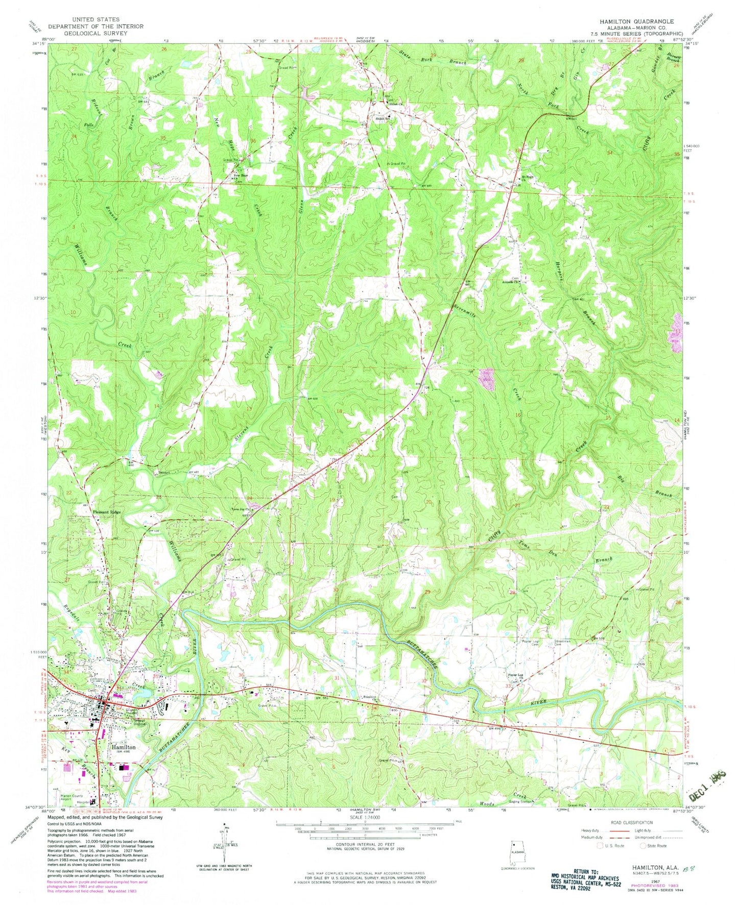
Classic USGS Hamilton Alabama 7.5'x7.5' Topo Map
Couldn't load pickup availability
Historical USGS topographic quad map of Hamilton in the state of Alabama. Map scale may vary for some years, but is generally around 1:24,000. Print size is approximately 24" x 27"
This quadrangle is in the following counties: Marion.
The map contains contour lines, roads, rivers, towns, and lakes. Printed on high-quality waterproof paper with UV fade-resistant inks, and shipped rolled.
Contains the following named places: Antioch Cemetery, Antioch Freewill Baptist Church, Big Branch, Biggerstaff Branch, Brown Branch, Burnett Branch, Camp Creek, City of Hamilton, Clifty Creek, Cox Branch, Cox Family Cemetery, Dry Branch, First Baptist Church of Hamilton, Gin Creek, Glenn Creek, Gowder Branch, Hamilton, Hamilton City Cemetery, Hamilton Division, Hamilton Fire and Rescue Department, Hamilton Fire and Rescue Station 2, Hamilton High School, Hamilton Police Department, Hamilton Post Office, Hamilton United Methodist Church, Harpers Branch, Key Branch, Love Joy Church, Lovejoy Cemetery, Marion County, Marion County Courthouse, Marion Regional Medical Center, Mount Hope Cemetery, Mount Hope Freewill Baptist Church, New Hope Baptist Church, New Hope Cemetery, New Hope Creek, North Fork Creek, Palmer Cemetery, Pleasant Ridge, Pleasant Ridge Cemetery, Plesant Ridge Freewill Baptist Church, Poplar Log Cemetery, Poplar Log Freewill Baptist Church, Primitive Church, Ragsdale Creek, Rideout Branch, Sevenmile Creek, Shiloh Cemetery, Shiloh Missionary Baptist Church, Shiloh School, Shiloh Volunteer Fire Department, Smith Cemetery, State Rock, State Rock Branch, Stevens Creek, Streetman Cemetery, Toms Den Branch, Town and Country Plaza Shopping Center, West Point Missionary Baptist Church, Williams Creek, ZIP Code: 35570


