MyTopo
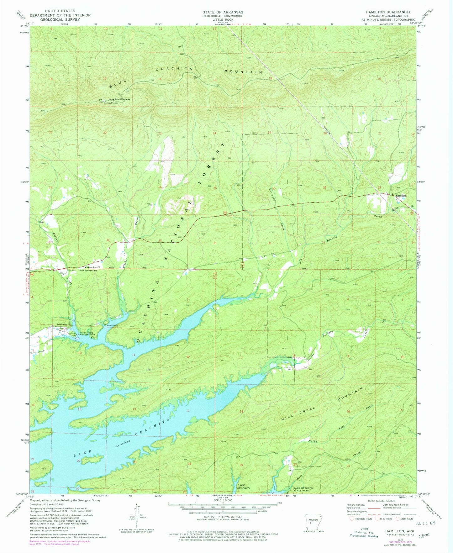
Classic USGS Hamilton Arkansas 7.5'x7.5' Topo Map
Couldn't load pickup availability
Historical USGS topographic quad map of Hamilton in the state of Arkansas. Typical map scale is 1:24,000, but may vary for certain years, if available. Print size: 24" x 27"
This quadrangle is in the following counties: Garland.
The map contains contour lines, roads, rivers, towns, and lakes. Printed on high-quality waterproof paper with UV fade-resistant inks, and shipped rolled.
Contains the following named places: Township of Montian (historical), Big Blakely Creek, Blocker Creek, Blue Ouachita Mountain, Fisher Creek, Hamilton, Little Blakely Creek, Mill Creek Mountain, Moccasin Creek, North Mill Creek, Ouachita Pinnacle, Ritter Creek, Rock Springs Cemetery, Rock Springs Church, Walnut Grove Church, Lena Landing Public Use Area, Jessieville Fire Department Station 2