MyTopo
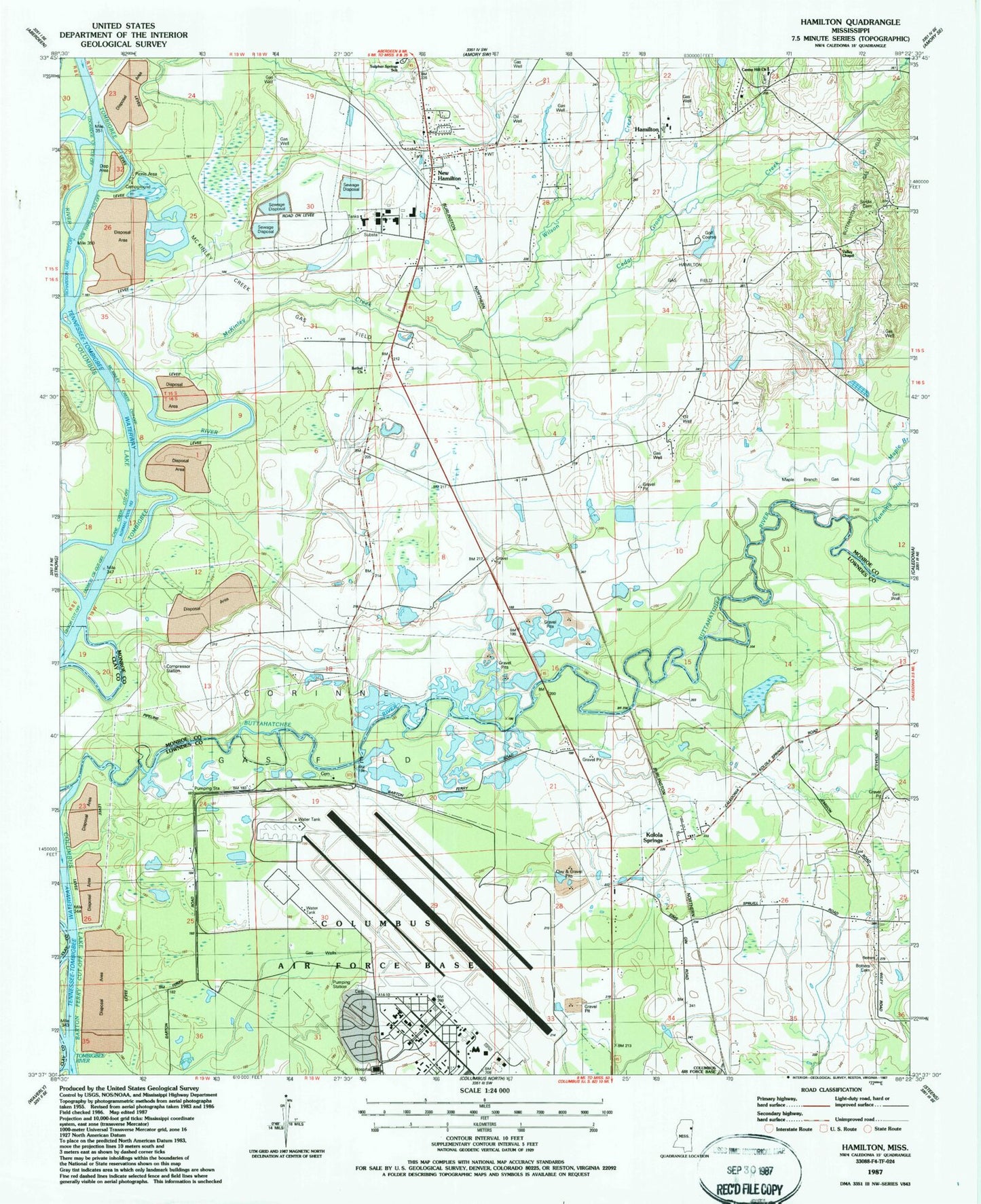
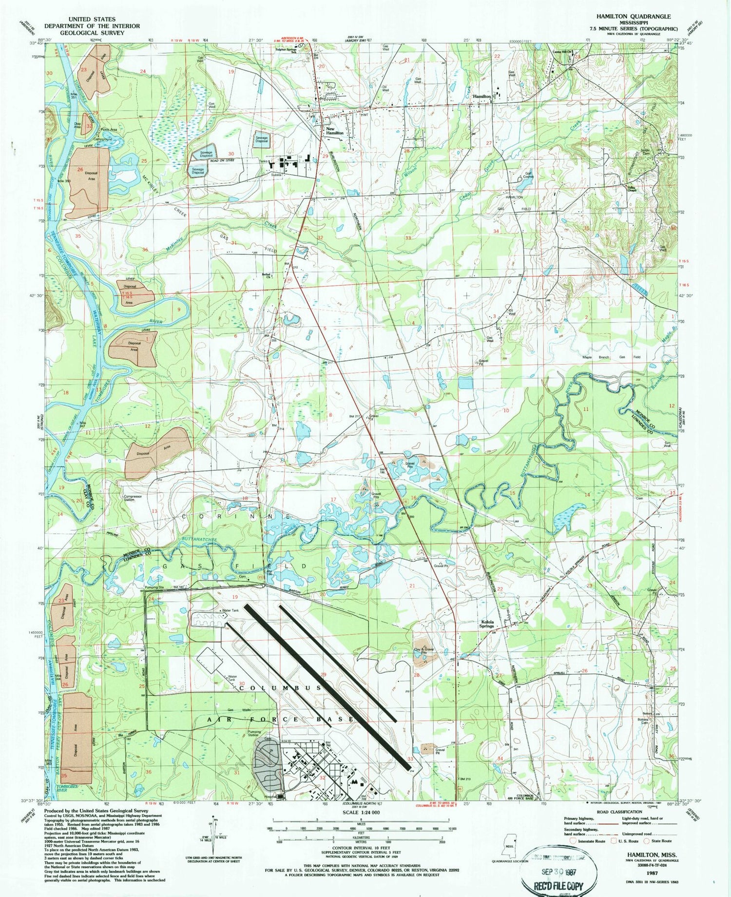
Classic USGS Hamilton Mississippi 7.5'x7.5' Topo Map
Couldn't load pickup availability
Historical USGS topographic quad map of Hamilton in the state of Mississippi. Map scale may vary for some years, but is generally around 1:24,000. Print size is approximately 24" x 27"
This quadrangle is in the following counties: Clay, Lowndes, Monroe.
The map contains contour lines, roads, rivers, towns, and lakes. Printed on high-quality waterproof paper with UV fade-resistant inks, and shipped rolled.
Contains the following named places: Andrews Chapel, Barton Ferry Cutoff, Bartons Ferry, Bethel Church, Botters Cemetery, Cane Creek Cutoff, Cedar Grove Church, Cedar Grove Creek, Center Hill Baptist Church, Chins Springs, Columbus Air Force Base, Columbus Air Force Base Census Designated Place, Columbus Air Force Base Fire Department, Corinne Gas Field, Denman Branch, Denmon Cutoff, Doalms Ferry, Ebenezer Primitive Baptist Church, Hamilton, Hamilton Census Designated Place, Hamilton Church of Christ, Hamilton Gas Field, Hamilton Landing, Hamilton Post Office, Hamilton Presbyterian Church, Hamilton Primitive Baptist Church, Hamilton Public Library, Hamilton United Methodist Church, Hamilton Volunteer Fire Department, Horseshoe Bend, Indian Ford, J G Fairchilds Pond Dam, Ker Magee Lake Dam, Kolola Springs, Kolola Springs Baptist Church, Lockridge Creek Cutoff, Lowndes County District 2 Volunteer Fire and Rescue Department Kolola Springs Station, Maple Branch, Maple Branch Gas Field, McKinley Creek, McKinley Creek Access Area, McKinley Creek Cutoff, McKinley Creek Gas Field, Mealer Lake, New Hamilton, New Hamilton Census Designated Place, New Hamilton Cutoff, Otter Lake, Richardson Lake Cutoff, Running Slough, Saint Thomas School, Sardis Cemetery, Shell Field, Sixteenth Section School, Smallwood Landing, Sulphur Springs Church, Sulphur Springs School, Tatums Landing, Travis Lott Bend, Valley Chapel, Vinton Cutoff, Wilson Creek, ZIP Code: 39746


