MyTopo
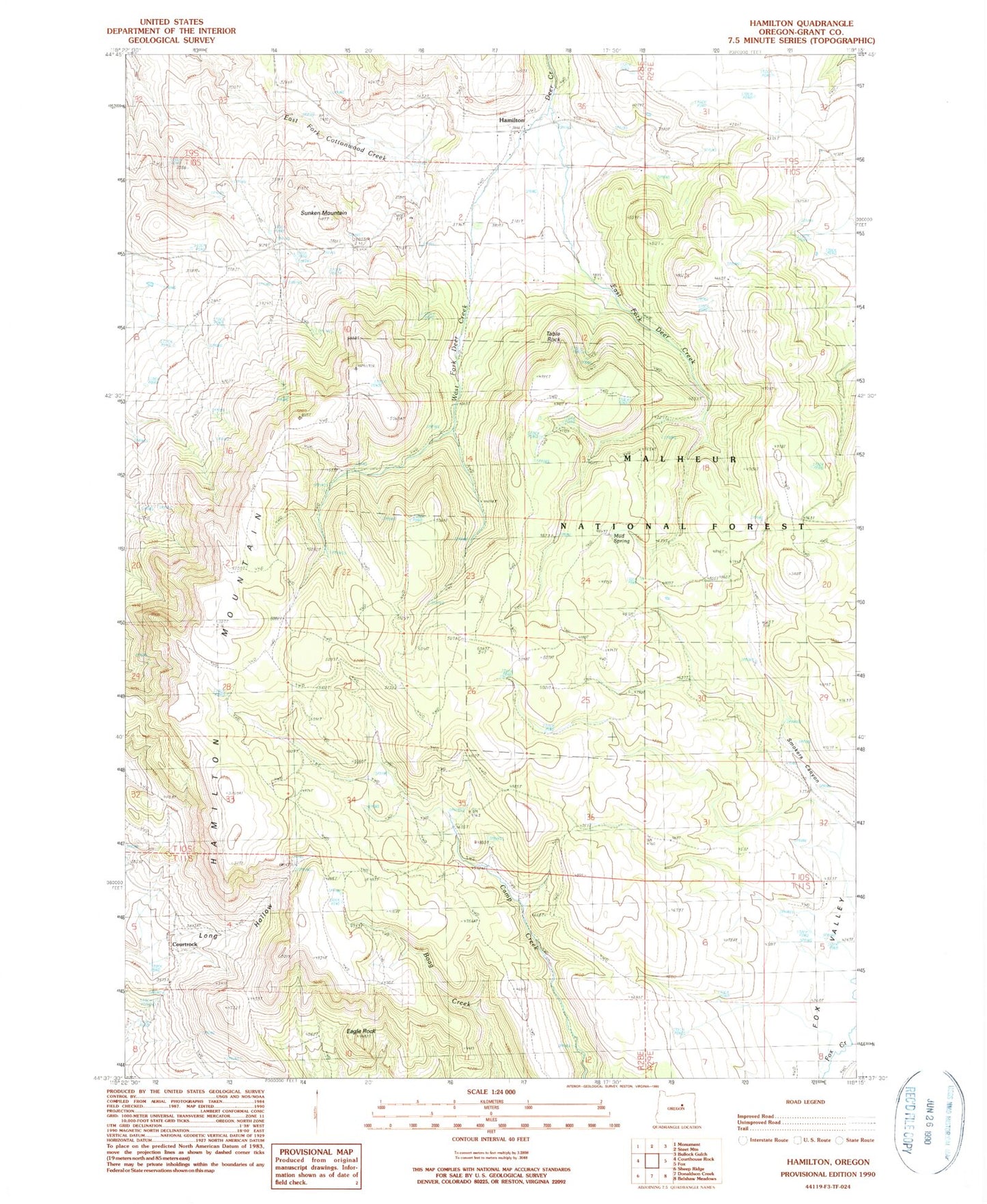
Classic USGS Hamilton Oregon 7.5'x7.5' Topo Map
Couldn't load pickup availability
Historical USGS topographic quad map of Hamilton in the state of Oregon. Map scale may vary for some years, but is generally around 1:24,000. Print size is approximately 24" x 27"
This quadrangle is in the following counties: Grant.
The map contains contour lines, roads, rivers, towns, and lakes. Printed on high-quality waterproof paper with UV fade-resistant inks, and shipped rolled.
Contains the following named places: Courtrock, Courtrock Post Office, Eagle Rock, East Fork Deer Creek, Hamilton, Hamilton Cemetery, Hamilton Mountain, Hamilton Post Office, Leather Spring, Ledgerwood, Merrill Canyon, Merrill Springs, Mud Spring, Round Spring, Sunken Mountain, Sweek Canyon, Sweek Spring, Table Rock, West Fork Deer Creek