MyTopo
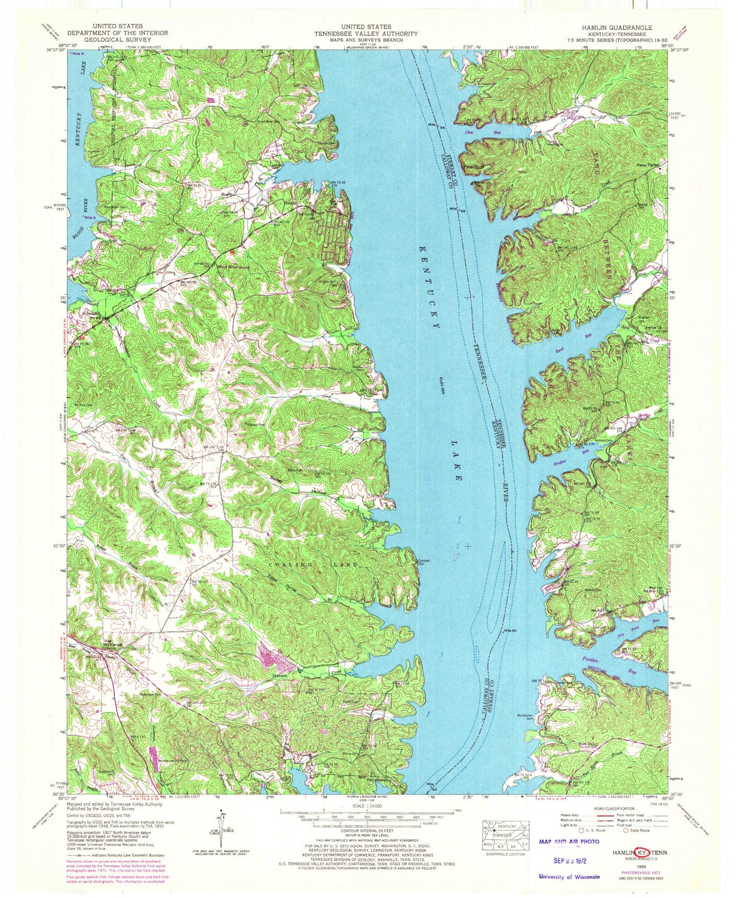
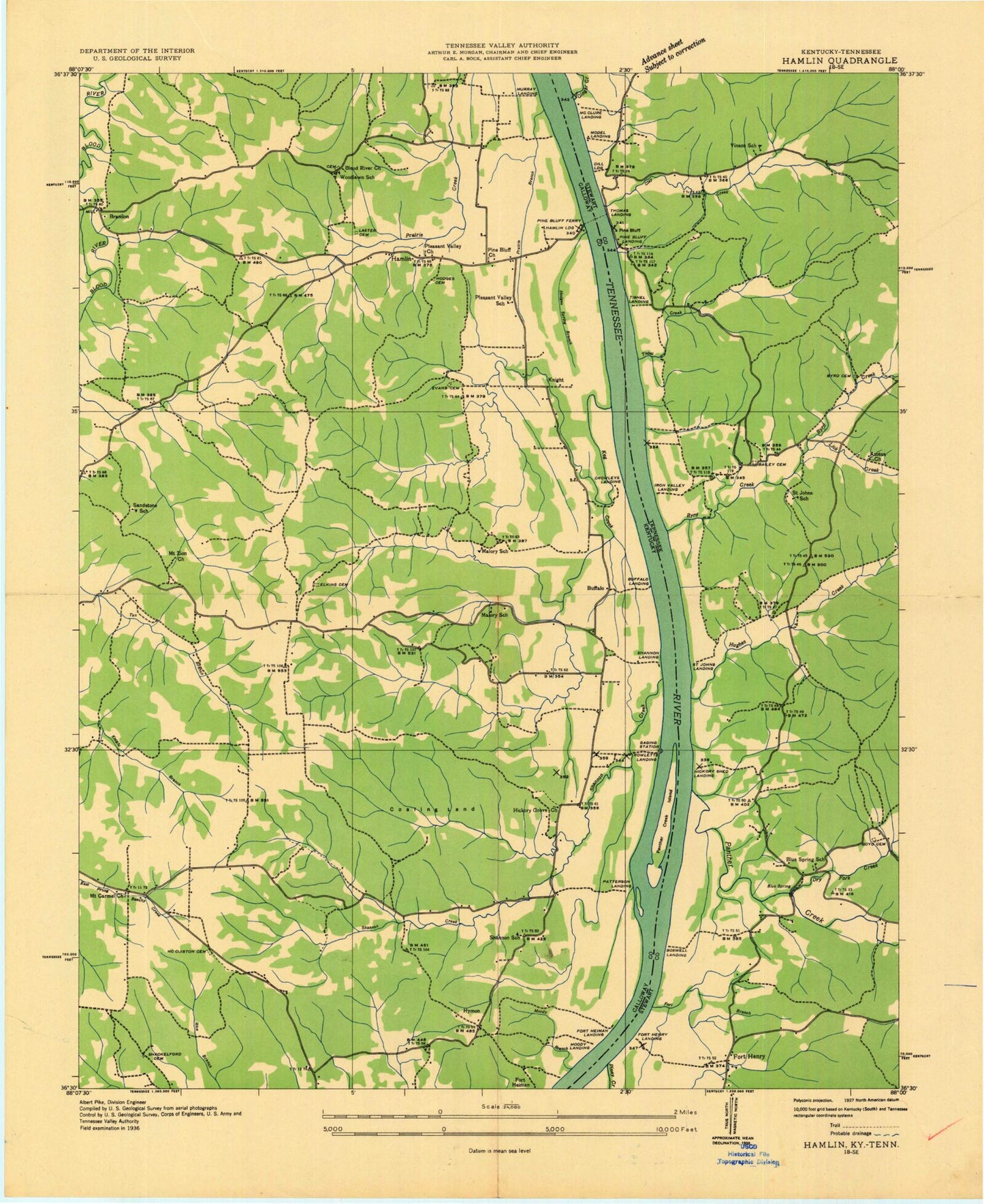
Classic USGS Hamlin Kentucky 7.5'x7.5' Topo Map
Couldn't load pickup availability
Historical USGS topographic quad map of Hamlin in the states of Kentucky, Tennessee. Typical map scale is 1:24,000, but may vary for certain years, if available. Print size: 24" x 27"
This quadrangle is in the following counties: Calloway, Stewart.
The map contains contour lines, roads, rivers, towns, and lakes. Printed on high-quality waterproof paper with UV fade-resistant inks, and shipped rolled.
Contains the following named places: Bailey Cemetery, Bailey Hollow, Blood River Cemetery, Blood River Church, Boyds Branch, Fakes Cemetery, Ferguson Cemetery, Grindstone Creek, Kimbro Cemetery, Lassiter Cemetery, Lassiter Cemetery, Mallory Cemetery, McCuiston Cemetery, Moody Cemetery, Mount Zion Cemetery, New Mount Carmel Church, Oak Level Cemetery, Shackleford Cemetery, Shannon Creek, Stilley - McCuiston Cemetery, Winchester Cemetery, Yellow Spring Branch, Fort Heiman, Hamlin, Calloway County Fire and Rescue Station 10, Calloway County Fire and Rescue Station 11, Mount Carmel (historical), Lassiter Cemetery, Vinson Cemetery, Wallace Cemetery, Azotus Church, Bailey Cemetery, Blue Spring Church, Boswell Cemetery, Brigham Cemetery, Buchannan Cemetery, Byrd Creek, Camp Tischel, Campbell Cemetery, Dill Cemetery, Dry Fork Creek, Fort Henry, Fort Henry Branch, Herndon Cemetery, Hughes Creek, Lick Creek, Mathes Cemetery, Panther Creek, Pine Bluff, Tischel Creek, Clay Creek, Bailey Cemetery, Blue Spring School (historical), Blue Springs Lake Access Area, Boswell Landing (historical), Boswell Landing Lake Access Area, Byrd Cemetery, Byrd Bay, Clay Bay, Dill Landing (historical), Dry Fork Bay, Fort Branch, Fort Henry Landing (historical), Ginger Bay Lake Access Area, Hendon Cemetery, Hickory Shed Landing (historical), Hughes Bay, Iron Valley Landing (historical), Marbury Cemetery, McClure Landing (historical), Model Landing (historical), Panther Bay, Pine Bluff Ferry (historical), Pine Bluff Landing (historical), Saint Johns Landing (historical), Saint Johns School (historical), Thomas Landing (historical), Tishel Landing (historical), Vinson, Vinson School (historical), McCullochs Bar, Panther Bar, Tischel Bay


