
MyTopo
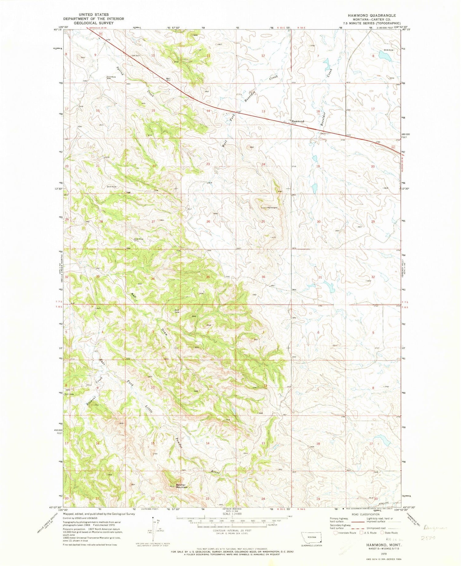
Classic USGS Hammond Montana 7.5'x7.5' Topo Map
Couldn't load pickup availability
Historical USGS topographic quad map of Hammond in the state of Montana. Map scale may vary for some years, but is generally around 1:24,000. Print size is approximately 24" x 27"
This quadrangle is in the following counties: Carter.
The map contains contour lines, roads, rivers, towns, and lakes. Printed on high-quality waterproof paper with UV fade-resistant inks, and shipped rolled.
Contains the following named places: 07S55E11BDCA01 Well, 07S55E14BB__01 Well, 07S55E33CAA_01 Well, 08S55E01AD__01 Well, 08S55E02DDDB01 Well, 08S55E04CDAC01 Well, 08S55E10CB__01 Well, Aldrich Dam, Belcher Mountain, Blowout Creek, Gerald Craft Number 3 Dam, Gerald Craft Number 5 Dam, Hammond, Hammond Post Office, Hammond School, Velvet Dam


