MyTopo
Classic USGS Hampton South Iowa 7.5'x7.5' Topo Map
Couldn't load pickup availability
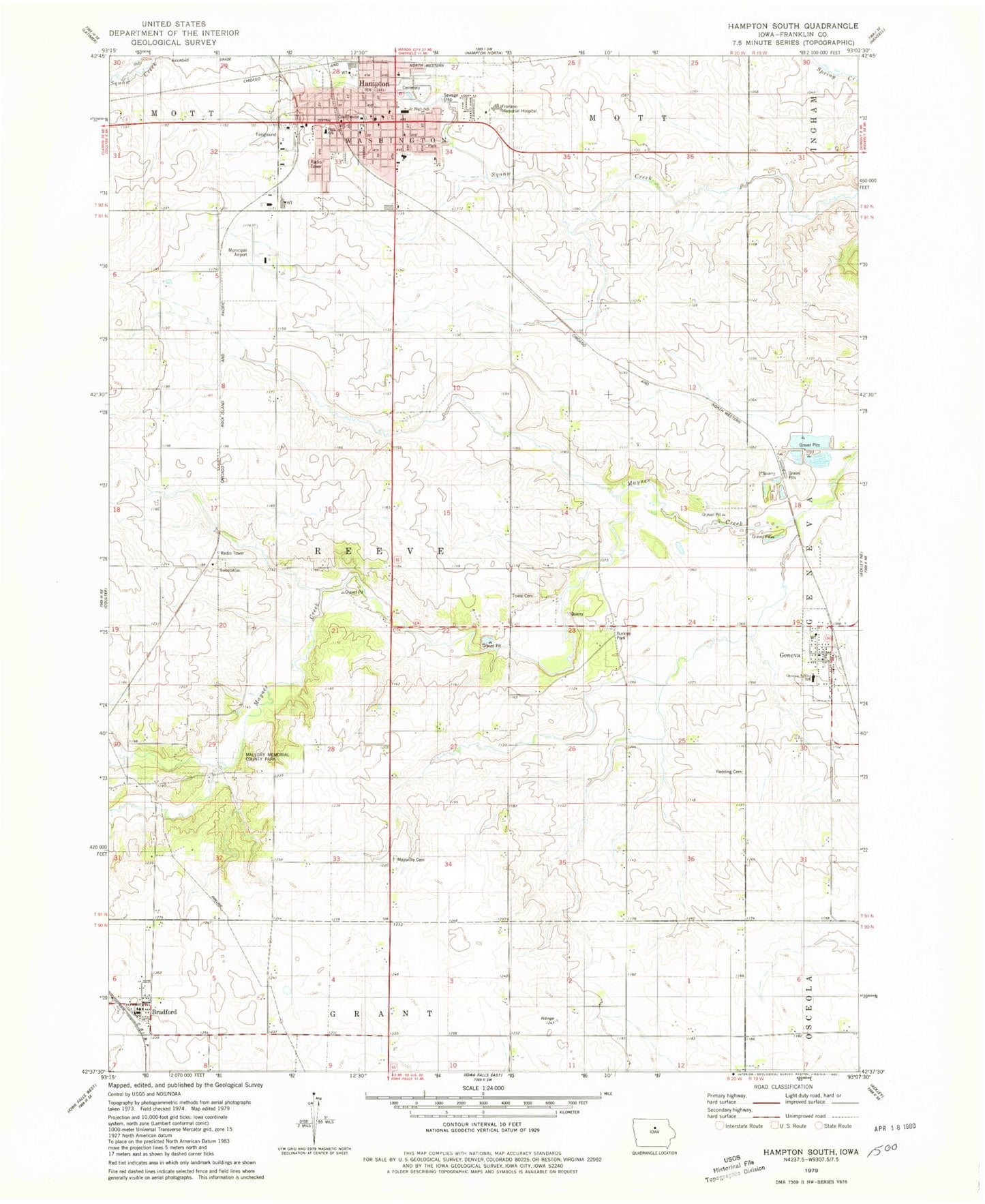
Historical USGS topographic quad map of Hampton South in the state of Iowa. Map scale may vary for some years, but is generally around 1:24,000. Print size is approximately 24" x 27"
This quadrangle is in the following counties: Franklin.
The map contains contour lines, roads, rivers, towns, and lakes. Printed on high-quality waterproof paper with UV fade-resistant inks, and shipped rolled.
Contains the following named places: Bradford, Bradford Post Office, Bradford School, Burkley Park, Calvary Assembly Church, Campsite of First Settlers in Franklin County Historical Marker, Centennial Tree Historical Marker, Church of Christ, City of Geneva, City of Hampton, East Park, Faith Baptist Church, Farmers Co-op Elevator, Farmers Co-op Elevator Company Elevator, First Cabin in Franklin County Historical Marker, First Christian Church, First Congregational Church, First Post Office/First Store Site Historical Marker, Franklin County Courthouse, Franklin County Fairgrounds, Franklin County Historical Museum, Franklin County Sheriffs Department, Franklin General Hospital, Geneva, Geneva Ackley School, Geneva Elevator, Geneva Post Office, Geneva United Methodist Church, Hampton, Hampton Cemetery, Hampton City Hall, Hampton City Park, Hampton Fire Department, Hampton Health Care Center, Hampton Municipal Airport, Hampton Police Department, Hampton Post Office, Hampton Public Library, Hampton United Methodist Church, Hamptons First Resident Historical Marker, Hibnes Quarry, Koenen and Collins Chiropractic Clinic, KQHJ-FM (Hampton), Mallory Memorial County Park, Marysville, Maynes Grove, Maysville Cemetery, Maysville School, North Iowa Mental Health Center, Old Stone House, Park School, Progress Park, Reeve, Reeve Post Office, Saint Pauls Catholic Cemetery, Saint Pauls Lutheran Church, Site of First Franklin County School House Historical Marker, South Side Elementary School, Towle Cemetery, Township of Reeve, ZIP Codes: 50041, 50441, 50633


