MyTopo
Classic USGS Hampton Nebraska 7.5'x7.5' Topo Map
Couldn't load pickup availability
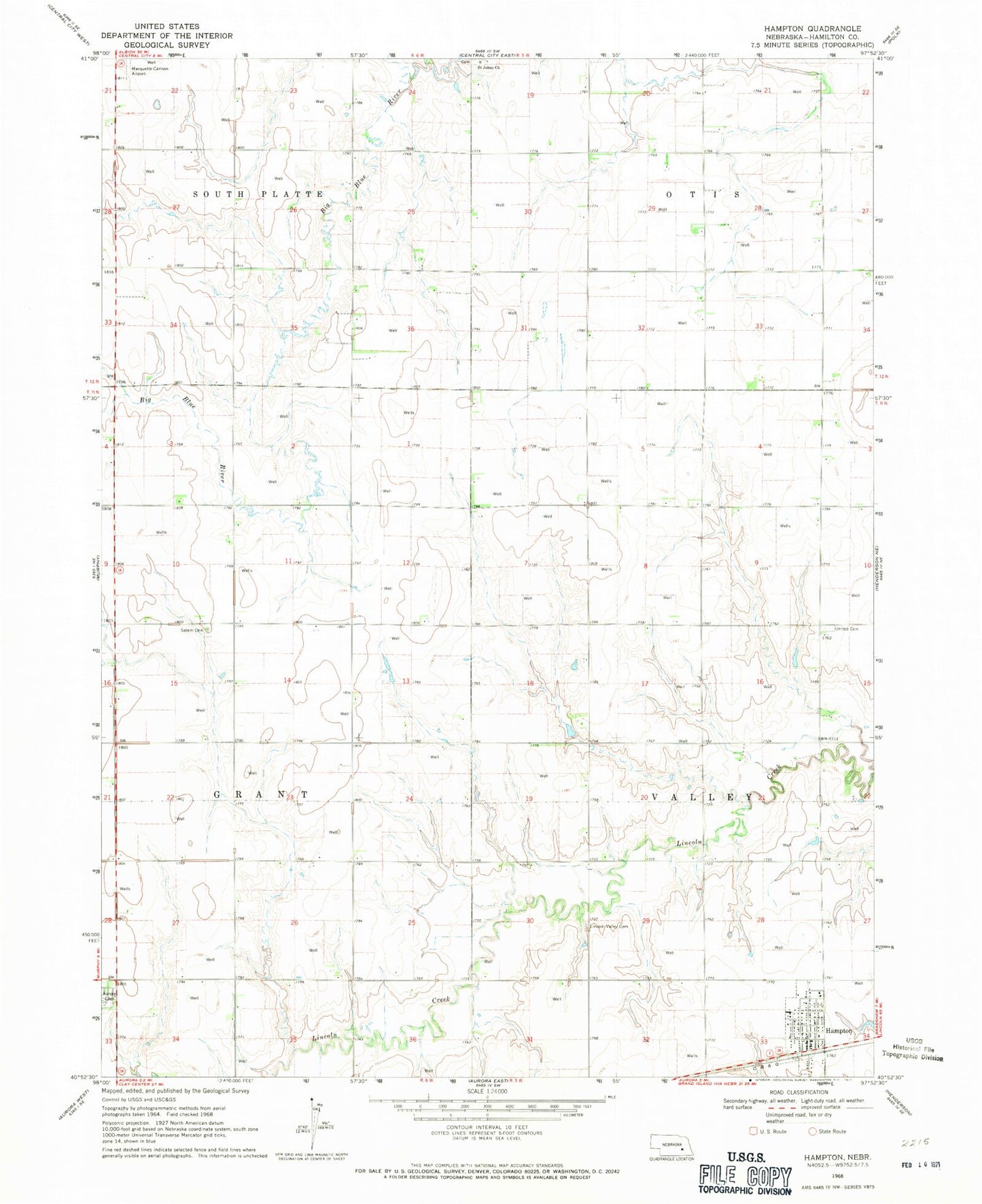
Historical USGS topographic quad map of Hampton in the state of Nebraska. Map scale may vary for some years, but is generally around 1:24,000. Print size is approximately 24" x 27"
This quadrangle is in the following counties: Hamilton.
The map contains contour lines, roads, rivers, towns, and lakes. Printed on high-quality waterproof paper with UV fade-resistant inks, and shipped rolled.
Contains the following named places: Aurora Municipal Airport - Al Potter Field, Countryside Bible Church, Hampton, Hampton Post Office, Hampton Public Schools, Hampton Volunteer Fire and Rescue, Lincoln Valley Cemetery, Marquette-Carlson Airport, Saint Johns Church, Saint Peter Lutheran Church, Saint Peters Evangelical Lutheran School, Salem Evangelical Cemetery, Township of Grant, Township of Valley, United Cemetery, United Co-op Incorporated Elevator, United Lutheran Church, Village of Hampton, ZIP Code: 68843